2000s (21st Century) Maps of Springvale Township, Michigan
Explore 20 historic maps of Springvale Township from the 2000s (21st Century). These maps offer a rare glimpse into what life looked like during the 2000s — showing old roads, neighborhoods, homes, and landmarks that have changed or disappeared over time.
Whether you're researching your family's past, planning a metal detecting trip, or studying how Springvale Township's landscape evolved across the 2000s, these high-resolution maps are a powerful tool for exploring the history of this region.
- Focus on a specific era: All maps on this page are from the 2000s, giving you a focused view of this time period.
- See what’s changed: Compare century-old streets, trails, and buildings to today's modern landscape using overlays and satellite layers.
- Research with precision: Use these maps for genealogy, historical research, land use analysis, or educational projects.
- View, download, or print: Maps are fully viewable online in high resolution, and can be downloaded or printed for your own records.
Start exploring Springvale Township's history through authentic maps from the 2000s. This is your window into the past.
Springvale Township, MI maps
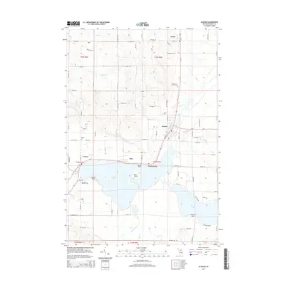
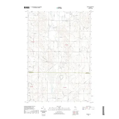
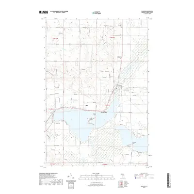
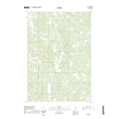
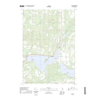
(20)- 2011 Map of Alanson, 2011 Print
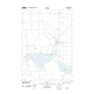 2011 Alanson2011 Print · USGSCovers Springvale Township, including Alanson, Bear Creek Township, and other nearby areas
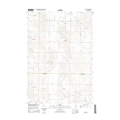
 - 2011 Map of Epsilon, 2011 Print
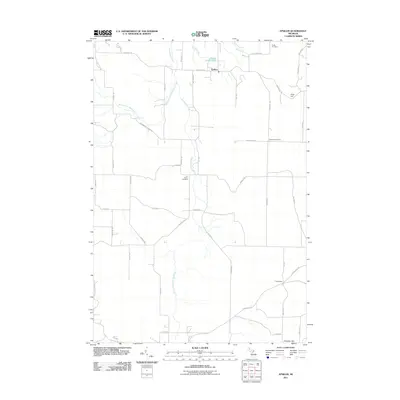 2011 Epsilon2011 Print · USGSCovers Springvale Township, including Chandler Township, Melrose Township, and other nearby areas
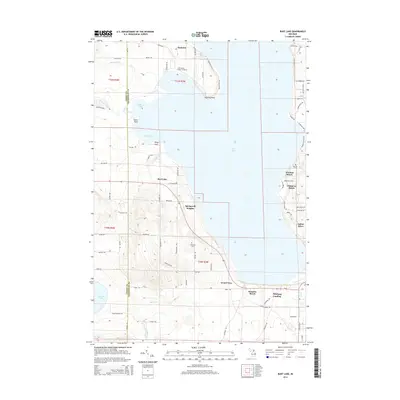
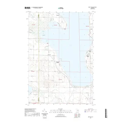
 - 2011 Map of Burt Lake, 2011 Print
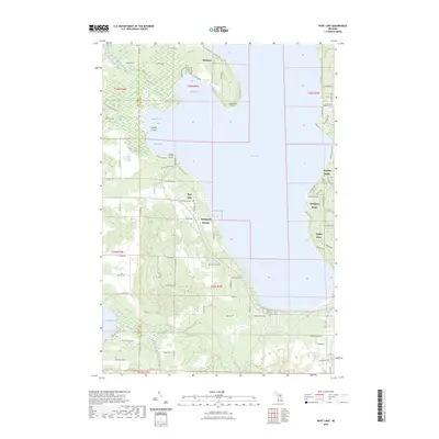
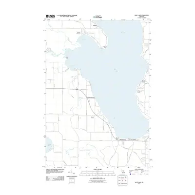 2011 Burt Lake2011 Print · USGSCovers Springvale Township, including Mentor Township, Littlefield Township, and other nearby areas
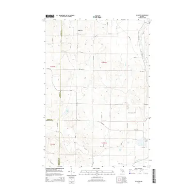
 - 2011 Map of Wildwood, 2011 Print
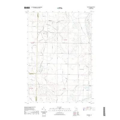
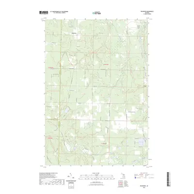
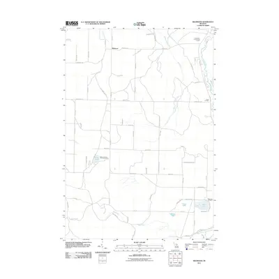 2011 Wildwood2011 Print · USGSCovers Springvale Township, including Chandler Township, Mentor Township, and other nearby areas
 - 2014 Map of Alanson, 2014 Print
 2014 Alanson2014 Print · USGSCovers Springvale Township, including Alanson, Bear Creek Township, and other nearby areas
 - 2014 Map of Burt Lake, 2014 Print
 2014 Burt Lake2014 Print · USGSCovers Springvale Township, including Mentor Township, Littlefield Township, and other nearby areas
 - 2014 Map of Epsilon, 2014 Print
 2014 Epsilon2014 Print · USGSCovers Springvale Township, including Chandler Township, Melrose Township, and other nearby areas
 - 2014 Map of Wildwood, 2014 Print
 2014 Wildwood2014 Print · USGSCovers Springvale Township, including Chandler Township, Mentor Township, and other nearby areas
 - 2017 Map of Burt Lake, 2017 Print
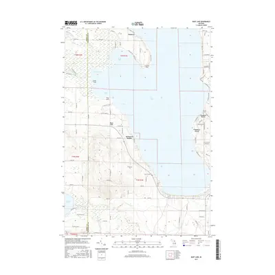 2017 Burt Lake2017 Print · USGSCovers Springvale Township, including Mentor Township, Littlefield Township, and other nearby areas
 - 2017 Map of Epsilon, 2017 Print
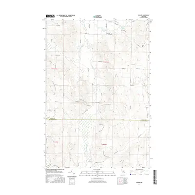 2017 Epsilon2017 Print · USGSCovers Springvale Township, including Chandler Township, Melrose Township, and other nearby areas
 - 2017 Map of Alanson, 2017 Print
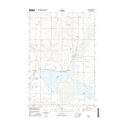 2017 Alanson2017 Print · USGSCovers Springvale Township, including Alanson, Bear Creek Township, and other nearby areas
 - 2017 Map of Wildwood, 2017 Print
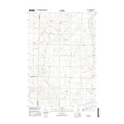 2017 Wildwood2017 Print · USGSCovers Springvale Township, including Chandler Township, Mentor Township, and other nearby areas
 - 2019 Map of Epsilon, 2019 Print
 2019 Epsilon2019 Print · USGSCovers Springvale Township, including Chandler Township, Melrose Township, and other nearby areas
 - 2019 Map of Burt Lake, 2019 Print
 2019 Burt Lake2019 Print · USGSCovers Springvale Township, including Mentor Township, Littlefield Township, and other nearby areas
 - 2019 Map of Alanson, 2019 Print
 2019 Alanson2019 Print · USGSCovers Springvale Township, including Alanson, Bear Creek Township, and other nearby areas
 - 2019 Map of Wildwood, 2019 Print
 2019 Wildwood2019 Print · USGSCovers Springvale Township, including Chandler Township, Mentor Township, and other nearby areas
 - 2023 Map of Epsilon, 2023 Print
 2023 Epsilon2023 Print · USGSEmmet and Charlevoix counties meet in this modern survey of the Michigan interior, where the settlement of Epsilon remains a focal point. Researchers can trace family sites near Curtis Cemetery or follow the waters of the North Branch Spring Brook and Minnehaha Creek.
 - 2023 Map of Wildwood, 2023 Print
 2023 Wildwood2023 Print · USGSNorthern Michigan at the junction of three counties reveals a landscape of deep forests and recreational trails. You can trace early local history through the Indian River Catholic Shrine Cemetery, the Woods Homestead, and the settlement of Rondo.
 - 2023 Map of Alanson, 2023 Print
 2023 Alanson2023 Print · USGSEmmet County’s lakeside villages and historic rail corridors are captured in this recent survey of the Michigan vacation heartland. Family historians can locate several burial grounds, including the Sacramentine Monastery Cem and Emmet County Poor Farm Cem.
 - 2023 Map of Burt Lake, 2023 Print
 2023 Burt Lake2023 Print · USGSBurt Lake and the Indian River corridor are captured in the early 2020s, showing a landscape defined by waterfront settlements and inland creeks. Genealogists and local historians can locate the Saint Mary's Indian Cem, Ohioville Cem, and the secluded Harmon Grave.
End of results
Showing maps 1-20 of 20
Top cities near Springvale Township
- Petoskey historical maps
- Boyne City historical maps
- Indian River historical maps
- Harbor Springs historical maps
- Alanson historical maps
- Pellston historical maps
See more
Top neighborhoods of Springvale Township
Frequently asked questions
- What are the different types of historical maps available for Springvale Township?
- What is the oldest map of Springvale Township?
- Where can I purchase historical maps of Springvale Township for my home or office?
- Where can I download high-res historical maps of Springvale Township?
- Are there historical topographic maps available for Springvale Township?
- Is there historical aerial imagery available for Springvale Township?
- Where are historical maps of Springvale Township sourced from?