Old Maps of Sage Township, Michigan for Genealogy
Trace your family roots with 33 historic maps of Sage Township. These high-res maps reveal old neighborhoods, homesites, landmarks, and streets — helping you uncover where your ancestors lived and how the area evolved over time.
- Explore historic neighborhoods: Identify where your relatives may have lived in the 1800s or 1900s.
- Compare maps over time: Trace the changes in streets, buildings, and landmarks for multi-generational research.
- Perfect for genealogy & ancestry research: Used by family historians and researchers to map out lineage and migration.
These maps are an incredible resource for exploring your personal connection to Sage Township's past.
Sage Township, MI maps
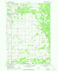
(33)- 1954 Map of Traverse City, 1965 Print
 1954 Traverse City1965 Print · USGSNorthern Michigan’s vast lakeshores and timberlands are captured here in the mid-fifties, showing the region before the modern interstate era. Genealogists and researchers can trace rail connections like the Detroit and Mackinac RR or find old communities such as Suttons Bay, Elk Rapids, and Prudenville.4 unique versions available
 - 1954 Map of Midland, 1967 Print
 1954 Midland1967 Print · USGSMid-Michigan at the peak of the post-war era shows a landscape balancing industrial growth in Midland with the deep timberlands of the Manistee National Forest. Researchers can trace the legacy of the timber and rail era along the Pennsylvania RR or find family roots in river towns like Chesaning and Big Rapids.4 unique versions available
 - 1958 Map of Traverse City
 1958 Traverse City1958 Print · USGSNorthern Lower Michigan was a landscape of vast state forests and burgeoning lakeside retreats in the late fifties. Genealogists and historians can trace the rail corridors of the Ann Arbor RR and find established settlements from Elk Rapids to Houghton Lake.2 unique versions available
 - 1958 Map of Midland
 1958 Midland1958 Print · USGSCentral Michigan in the late fifties is captured here during a period of transition for its university towns and industrial hubs. Genealogists and researchers can trace family lines through old rail-stop towns like Breckenridge and Chesaning or locate property near the Muskegon River and Prairie Farm.
 - 1959 Map of Midland
 1959 Midland1959 Print · USGSMid-century Michigan comes alive in this survey of the central Lower Peninsula, from the streets of Grand Rapids to the Houghton Lake timberlands. Genealogists and rail fans can trace the Ann Arbor RR and Chesapeake and Ohio RR through towns like Big Rapids and Mount Pleasant.
 - 1966 Map of Midland
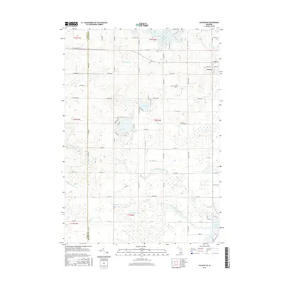
 1966 Midland1966 Print · USGSCentral Michigan in the mid-1960s shows a landscape of growing manufacturing hubs and active resource extraction. Genealogists and historians can trace the rail corridors of the Grand Trunk Western or locate family-named landmarks near Oil wells and the Muskegon River.
 - 1969 Map of Wagarville, 1971 Print
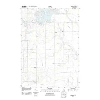
 1969 Wagarville1971 Print · USGSGladwin County during the late sixties shows a landscape of river-fed townships and tight-knit rural settlements. Genealogists can trace family roots through the McClure Cem and Ridge Cem, or locate local landmarks like the Miracle Mission and Sugar Rapids.
 - 1969 Map of Gladwin, 1971 Print
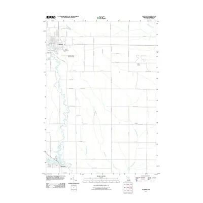
 1969 Gladwin1971 Print · USGSGladwin and Beaverton are shown during the late 1960s, a period defined by the local oil industry and river-fed landscape. Researchers can trace the Old Railroad Grade, locate the Arbutus Cem, or explore the Buckeye Oil Field and Gladwin State Park.
 - 1969 Map of Skeels, 1972 Print
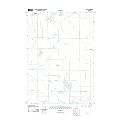
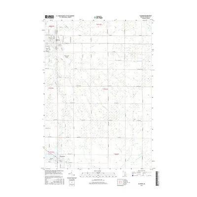
 1969 Skeels1972 Print · USGSGladwin County, Michigan, is shown here in the late sixties as a landscape of state forests and quiet lakeside settlements. Local historians can trace the rural layout of Skeels, Podunk, and Oberlin, or find landmarks like Chappel Dam and Pratt Lake.
 - 1969 Map of Coleman NE, 1972 Print
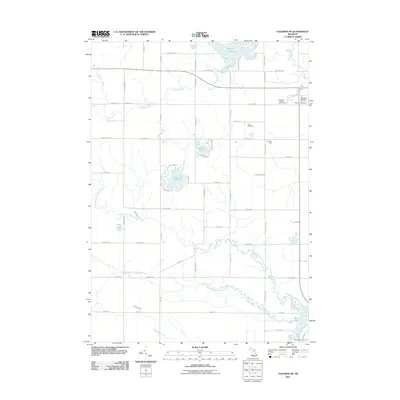
 1969 Coleman NE1972 Print · USGSGladwin County during the late sixties shows a landscape of glacial lakes and river branches before extensive modern development. Genealogists and historians can trace family locations near Grout Cem, West Grout Ch, or the scattered Oil Wells along the Tobacco River.3 unique versions available
 - 1983 Map of Houghton Lake, 1984 Print
 1983 Houghton Lake1984 Print · USGSIn the early 1980s, the Michigan heartland around Houghton Lake was a patchwork of state forest and growing lakeside resorts. Genealogists and historians can trace the development of communities like West Branch and Rose City alongside landmarks like Roscommon County Airfield.
 - 1984 Map of Midland, 1985 Print
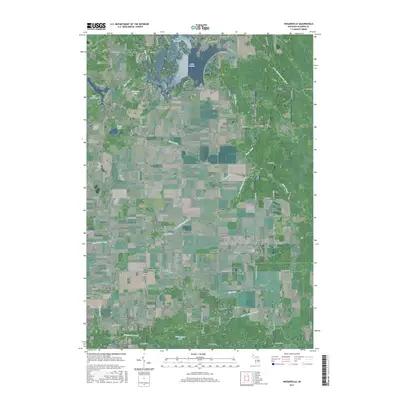
 1984 Midland1985 Print · USGSMid-Michigan's industrial and forest lands come into focus in the mid-eighties, centered on the growing hubs of Midland and Mount Pleasant. Genealogists and historians can trace the Chesapeake and Ohio rail corridor through small towns like Rosebush and Edenville.2 unique versions available
 - 1989 Map of Traverse City, 1990 Print
 1989 Traverse City1990 Print · USGSNorthern Michigan’s lake-country and forest lands are captured in the late eighties as seasonal tourism and timber hubs expanded. Genealogists and historians can trace the routes of the Ann Arbor RR, the boundaries of Camp Grayling, and settlements like Elk Rapids and Manton.
 - 2011 Map of Wagarville, 2011 Print
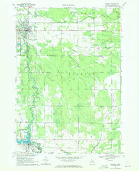
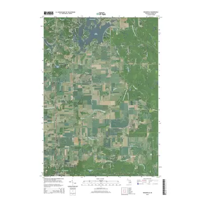
 2011 Wagarville2011 Print · USGSCovers Sage Township, including Butman Township, Sherman Township, and other nearby areas
 - 2011 Map of Skeels, 2011 Print
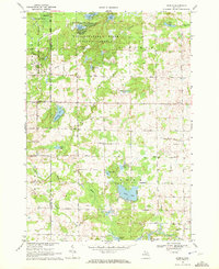
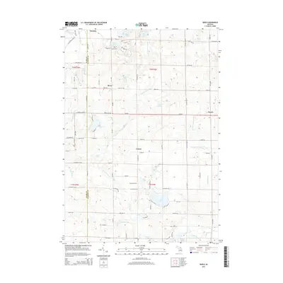
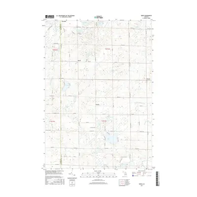
 2011 Skeels2011 Print · USGSCovers Sage Township, including Sherman Township, Oberlin, and other nearby areas
 - 2011 Map of Gladwin, 2011 Print
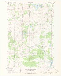
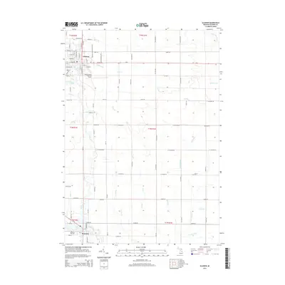
 2011 Gladwin2011 Print · USGSCovers Sage Township, including Gladwin, Beaverton, and other nearby areas
 - 2011 Map of Coleman NE, 2011 Print
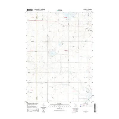
 2011 Coleman NE2011 Print · USGSCovers Sage Township, including Gladwin, Beaverton, and other nearby areas
 - 2014 Map of Wagarville, 2014 Print
 2014 Wagarville2014 Print · USGSCovers Sage Township, including Butman Township, Sherman Township, and other nearby areas
 - 2014 Map of Gladwin, 2014 Print
 2014 Gladwin2014 Print · USGSCovers Sage Township, including Gladwin, Beaverton, and other nearby areas
 - 2014 Map of Coleman NE, 2014 Print
 2014 Coleman NE2014 Print · USGSCovers Sage Township, including Gladwin, Beaverton, and other nearby areas
 - 2014 Map of Skeels, 2014 Print
 2014 Skeels2014 Print · USGSCovers Sage Township, including Sherman Township, Oberlin, and other nearby areas
 - 2017 Map of Gladwin, 2017 Print
 2017 Gladwin2017 Print · USGSCovers Sage Township, including Gladwin, Beaverton, and other nearby areas
 - 2017 Map of Coleman NE, 2017 Print
 2017 Coleman NE2017 Print · USGSCovers Sage Township, including Gladwin, Beaverton, and other nearby areas
 - 2017 Map of Wagarville, 2017 Print
 2017 Wagarville2017 Print · USGSCovers Sage Township, including Butman Township, Sherman Township, and other nearby areas
 - 2017 Map of Skeels, 2017 Print
 2017 Skeels2017 Print · USGSCovers Sage Township, including Sherman Township, Oberlin, and other nearby areas
Showing maps 1-25 of 33
Top cities near Sage Township
- Clare historical maps
- Gladwin historical maps
- Billings historical maps
- Butman historical maps
- Secord historical maps
- Beaverton historical maps
Top neighborhoods of Sage Township
Frequently asked questions
- What are the different types of historical maps available for Sage Township?
- What is the oldest map of Sage Township?
- Where can I purchase historical maps of Sage Township for my home or office?
- Where can I download high-res historical maps of Sage Township?
- Are there historical topographic maps available for Sage Township?
- Is there historical aerial imagery available for Sage Township?
- Where are historical maps of Sage Township sourced from?