Old Maps of Sherman Township, Michigan
Explore 28 old maps of Sherman Township, spanning from 1954 to today. These high-resolution historic maps reveal how streets, neighborhoods, landmarks, and natural features evolved over time — perfect for genealogy, metal detecting, research, and local history exploration.
What you can do with these maps:
- See how Sherman Township changed over time: Compare historical maps to modern-day views to trace roads, homesites, rail lines & more.
- View detailed metadata: Each map includes creators, publishers, year, scale, and archive source.
- Overlay maps with satellite & LiDAR: Visualize the past alongside modern tools to explore terrain & human change.
- Trusted historical sources: Maps sourced from the USGS, Library of Congress, and other archives.
- Access maps your way: View online, download high-res files, or order prints for personal or research use.
Start exploring old maps of Sherman Township to uncover forgotten places, hidden landmarks, and the deep history beneath your feet.
Sherman Township, MI maps
(28)- 1954 Map of Traverse City, 1965 Print
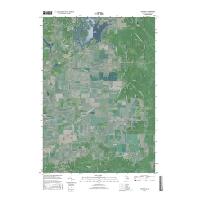
 1954 Traverse City1965 Print · USGSNorthern Michigan’s vast lakeshores and timberlands are captured here in the mid-fifties, showing the region before the modern interstate era. Genealogists and researchers can trace rail connections like the Detroit and Mackinac RR or find old communities such as Suttons Bay, Elk Rapids, and Prudenville.4 unique versions available
 - 1958 Map of Traverse City
 1958 Traverse City1958 Print · USGSNorthern Lower Michigan was a landscape of vast state forests and burgeoning lakeside retreats in the late fifties. Genealogists and historians can trace the rail corridors of the Ann Arbor RR and find established settlements from Elk Rapids to Houghton Lake.2 unique versions available
 - 1969 Map of Meredith, 1971 Print
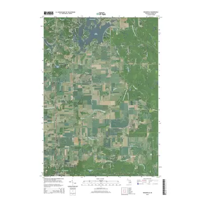
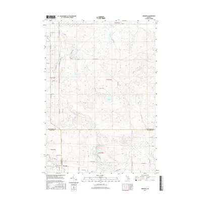
 1969 Meredith1971 Print · USGSThe woodlands around Meredith were a nexus of state forest lands and glacial lakes in the late 1960s. Researchers can trace early roads and local landmarks like the Meredith Drive-in Theater, Hoister Lake, and the winding Sugar River.2 unique versions available
 - 1969 Map of Butman, 1971 Print
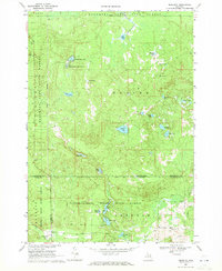
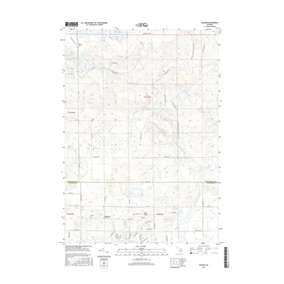
 1969 Butman1971 Print · USGSThe northern Michigan woods at the turn of the 1970s reveal a landscape of timber, water, and early oil exploration. Genealogists and historians can trace the rural community of Butman, locate the Butman Cem, and follow the banks of the Sugar River.
 - 1969 Map of Wagarville, 1971 Print
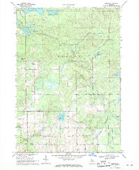
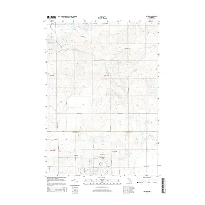
 1969 Wagarville1971 Print · USGSGladwin County during the late sixties shows a landscape of river-fed townships and tight-knit rural settlements. Genealogists can trace family roots through the McClure Cem and Ridge Cem, or locate local landmarks like the Miracle Mission and Sugar Rapids.
 - 1969 Map of Skeels, 1972 Print
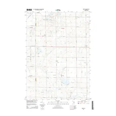
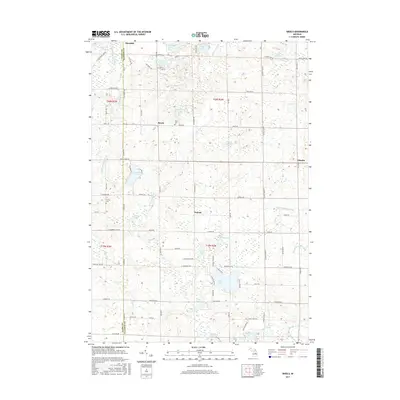
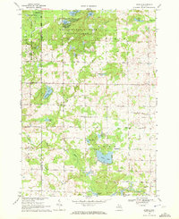 1969 Skeels1972 Print · USGSGladwin County, Michigan, is shown here in the late sixties as a landscape of state forests and quiet lakeside settlements. Local historians can trace the rural layout of Skeels, Podunk, and Oberlin, or find landmarks like Chappel Dam and Pratt Lake.
 - 1983 Map of Houghton Lake, 1984 Print
 1983 Houghton Lake1984 Print · USGSIn the early 1980s, the Michigan heartland around Houghton Lake was a patchwork of state forest and growing lakeside resorts. Genealogists and historians can trace the development of communities like West Branch and Rose City alongside landmarks like Roscommon County Airfield.
 - 1989 Map of Traverse City, 1990 Print
 1989 Traverse City1990 Print · USGSNorthern Michigan’s lake-country and forest lands are captured in the late eighties as seasonal tourism and timber hubs expanded. Genealogists and historians can trace the routes of the Ann Arbor RR, the boundaries of Camp Grayling, and settlements like Elk Rapids and Manton.
 - 2011 Map of Wagarville, 2011 Print
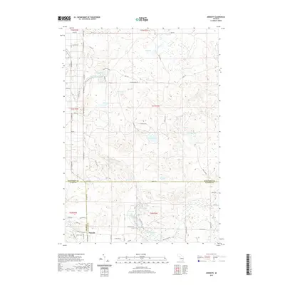
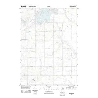 2011 Wagarville2011 Print · USGSCovers Sherman Township, including Butman Township, Sage Township, and other nearby areas
 - 2011 Map of Skeels, 2011 Print
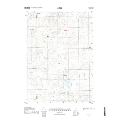
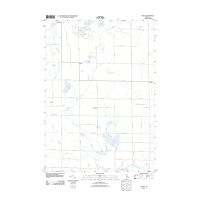 2011 Skeels2011 Print · USGSCovers Sherman Township, including Sage Township, Oberlin, and other nearby areas
 - 2011 Map of Butman, 2011 Print
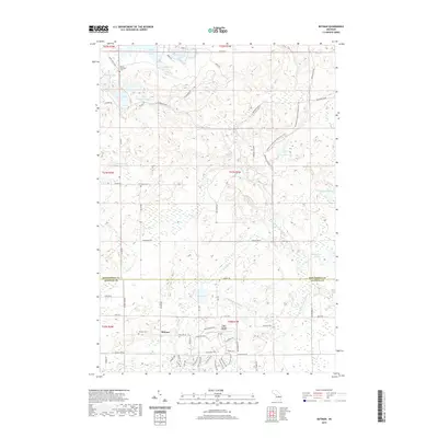
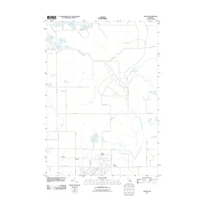 2011 Butman2011 Print · USGSCovers Sherman Township, including Butman, Butman Township, and other nearby areas
 - 2011 Map of Meredith, 2011 Print
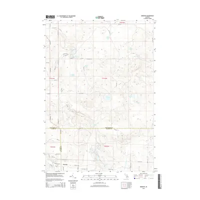
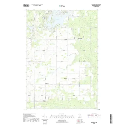
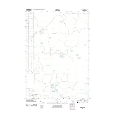 2011 Meredith2011 Print · USGSCovers Sherman Township, including Denton Township, Nester Township, and other nearby areas
 - 2014 Map of Wagarville, 2014 Print
 2014 Wagarville2014 Print · USGSCovers Sherman Township, including Butman Township, Sage Township, and other nearby areas
 - 2014 Map of Meredith, 2014 Print
 2014 Meredith2014 Print · USGSCovers Sherman Township, including Denton Township, Nester Township, and other nearby areas
 - 2014 Map of Butman, 2014 Print
 2014 Butman2014 Print · USGSCovers Sherman Township, including Butman, Butman Township, and other nearby areas
 - 2014 Map of Skeels, 2014 Print
 2014 Skeels2014 Print · USGSCovers Sherman Township, including Sage Township, Oberlin, and other nearby areas
 - 2017 Map of Butman, 2017 Print
 2017 Butman2017 Print · USGSCovers Sherman Township, including Butman, Butman Township, and other nearby areas
 - 2017 Map of Wagarville, 2017 Print
 2017 Wagarville2017 Print · USGSCovers Sherman Township, including Butman Township, Sage Township, and other nearby areas
 - 2017 Map of Skeels, 2017 Print
 2017 Skeels2017 Print · USGSCovers Sherman Township, including Sage Township, Oberlin, and other nearby areas
 - 2017 Map of Meredith, 2017 Print
 2017 Meredith2017 Print · USGSCovers Sherman Township, including Denton Township, Nester Township, and other nearby areas
 - 2019 Map of Meredith, 2019 Print
 2019 Meredith2019 Print · USGSCovers Sherman Township, including Denton Township, Nester Township, and other nearby areas
 - 2019 Map of Butman, 2019 Print
 2019 Butman2019 Print · USGSCovers Sherman Township, including Butman, Butman Township, and other nearby areas
 - 2019 Map of Wagarville, 2019 Print
 2019 Wagarville2019 Print · USGSCovers Sherman Township, including Butman Township, Sage Township, and other nearby areas
 - 2019 Map of Skeels, 2019 Print
 2019 Skeels2019 Print · USGSCovers Sherman Township, including Sage Township, Oberlin, and other nearby areas
 - 2023 Map of Skeels, 2023 Print
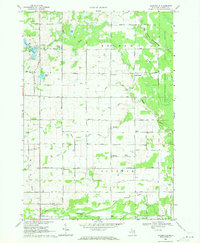
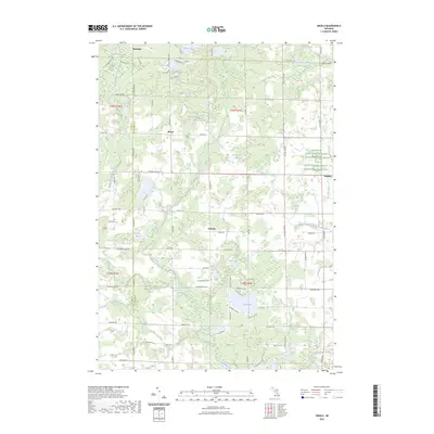 2023 Skeels2023 Print · USGSGladwin and Clare counties are captured in this modern survey, showing a landscape defined by the Middle Branch Cedar River and quiet lakeside communities. Genealogists can trace family roots near Skeel Cem or the settlements of Podunk and Oberlin.
Showing maps 1-25 of 28
Top cities near Sherman Township
- Houghton Lake historical maps
- Gladwin historical maps
- Butman historical maps
- Prudenville historical maps
- Secord historical maps
Top neighborhoods of Sherman Township
Frequently asked questions
- What are the different types of historical maps available for Sherman Township?
- What is the oldest map of Sherman Township?
- Where can I purchase historical maps of Sherman Township for my home or office?
- Where can I download high-res historical maps of Sherman Township?
- Are there historical topographic maps available for Sherman Township?
- Is there historical aerial imagery available for Sherman Township?
- Where are historical maps of Sherman Township sourced from?