Old Maps of Little Girl's Point, Ironwood Township
Explore 12 old maps of Little Girl's Point, spanning from 1943 to today. These high-resolution historic maps reveal how streets, neighborhoods, landmarks, and natural features evolved over time — perfect for genealogy, metal detecting, research, and local history exploration.
What you can do with these maps:
- See how Little Girl's Point changed over time: Compare historical maps to modern-day views to trace roads, homesites, rail lines & more.
- View detailed metadata: Each map includes creators, publishers, year, scale, and archive source.
- Overlay maps with satellite & LiDAR: Visualize the past alongside modern tools to explore terrain & human change.
- Trusted historical sources: Maps sourced from the USGS, Library of Congress, and other archives.
- Access maps your way: View online, download high-res files, or order prints for personal or research use.
Start exploring old maps of Little Girl's Point to uncover forgotten places, hidden landmarks, and the deep history beneath your feet.
Little Girl's Point, Ironwood Township maps
(12)- 1943 Map of Little Girls Point
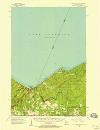
 1943 Little Girls Point1943 Print · USGSThe Lake Superior coast at the Michigan-Wisconsin border appears here in the early 1940s, showing a landscape defined by state lines and iron-range railroads. Trace the routes of the C & N W railroad near Cedar or locate the Lake View Cem in this surveyed borderland.
 - 1943 Map of Little Girl Point
 1943 Little Girl Point1943 Print · USGSThe Lake Superior shoreline at the Wisconsin-Michigan border is shown here as it appeared in the early 1940s. Genealogists and local historians can trace the La Pointe Indian Reservation and the tracks of the Duluth South Shore and Atlantic railroad.
 - 1953 Map of Ashland, 1964 Print
 1953 Ashland1964 Print · USGSNorthern Wisconsin's lakefront and timberlands are seen here in the mid-1950s, showing the intersection of industrial rail lines and vast wilderness. Genealogists and historians can trace the Soo Line through rail towns like Mellen or locate family roots in the Apostle Islands and Bad River Indian Reservation.3 unique versions available
 - 1956 Map of Little Girls Point, 1958 Print
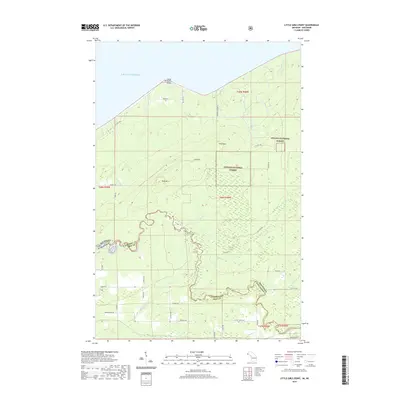
 1956 Little Girls Point1958 Print · USGSThe Wisconsin-Michigan border along the Montreal River is captured here during the mid-fifties, showing the deep woods and dramatic coastline. Genealogists and historians can locate rural landmarks like Saxon Union Church, Lake School, and the remote landing at Saxon Harbor.2 unique versions available
 - 1958 Map of Ashland
 1958 Ashland1958 Print · USGSCoastal Wisconsin and the Michigan borderlands meet here in the late fifties, dominated by the timbered expanses and iron-rich ranges. Genealogists can trace family footprints in settlements like Odanah and Montreal, or locate landmarks such as the Coast Guard Station and Agricultural Experiment Station.
 - 1980 Map of Little Girls Point, 1981 Print
 1980 Little Girls Point1981 Print · USGSThe Michigan-Wisconsin borderlands along the Lake Superior shoreline come into focus during the early eighties. Genealogists and local historians can locate the Little Girls Point burial grounds or trace the winding Montreal River past Saxon Falls Flowage.
 - 1989 Map of Ashland
 1989 Ashland1989 Print · USGSCoastal Wisconsin and Michigan at the end of the 1980s show a landscape of deep-water bays, island preserves, and industrial timber towns. Researchers can trace the rail lines of the Soo Line and identify landmarks from Big Bay State Park to the Bad River Indian Reservation.
 - 2011 Map of Little Girls Point, 2011 Print
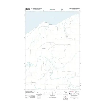 2011 Little Girls Point2011 Print · USGSCovers Little Girl's Point, including Kimball, Saxon, and other nearby areas
 - 2014 Map of Little Girls Point, 2014 Print
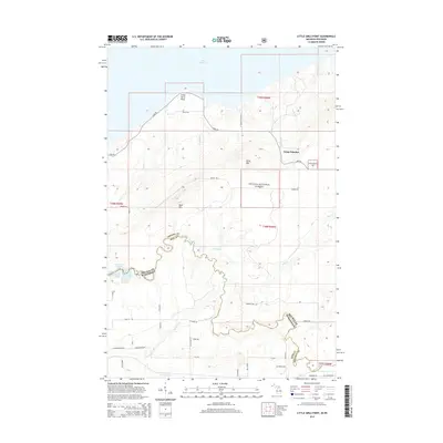 2014 Little Girls Point2014 Print · USGSCovers Little Girl's Point, including Kimball, Saxon, and other nearby areas
 - 2017 Map of Little Girls Point, 2017 Print
 2017 Little Girls Point2017 Print · USGSCovers Little Girl's Point, including Kimball, Saxon, and other nearby areas
 - 2019 Map of Little Girls Point, 2019 Print
 2019 Little Girls Point2019 Print · USGSCovers Little Girl's Point, including Kimball, Saxon, and other nearby areas
 - 2023 Map of Little Girls Point, 2023 Print
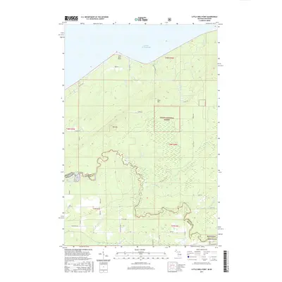
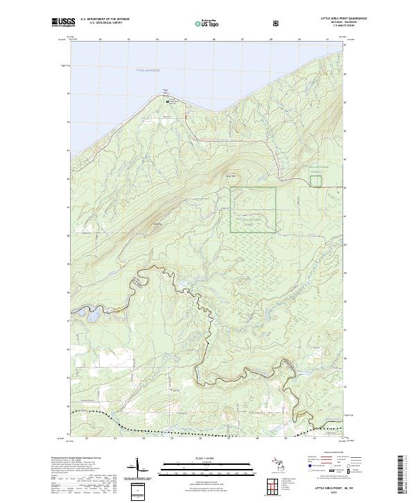 2023 Little Girls Point2023 Print · USGSGogebic County's shoreline and the Wisconsin border come into focus in this contemporary survey of the Upper Peninsula. Researchers can trace the path of the Montreal River or locate the Historic Indian Burial Grounds at Little Girls Point.
End of results
Showing maps 1-12 of 12
Top cities near Little Girl's Point
- Ironwood historical maps
- Hurley historical maps
- Montreal historical maps
- Kimball historical maps
- Saxon historical maps
- La Pointe historical maps
See more
Frequently asked questions
- What are the different types of historical maps available for Little Girl's Point?
- What is the oldest map of Little Girl's Point?
- Where can I purchase historical maps of Little Girl's Point for my home or office?
- Where can I download high-res historical maps of Little Girl's Point?
- Are there historical topographic maps available for Little Girl's Point?
- Is there historical aerial imagery available for Little Girl's Point?
- Where are historical maps of Little Girl's Point sourced from?