Old Maps of Duck Lake Park, Green Lake Township
Explore 11 old maps of Duck Lake Park, spanning from 1954 to today. These high-resolution historic maps reveal how streets, neighborhoods, landmarks, and natural features evolved over time — perfect for genealogy, metal detecting, research, and local history exploration.
What you can do with these maps:
- See how Duck Lake Park changed over time: Compare historical maps to modern-day views to trace roads, homesites, rail lines & more.
- View detailed metadata: Each map includes creators, publishers, year, scale, and archive source.
- Overlay maps with satellite & LiDAR: Visualize the past alongside modern tools to explore terrain & human change.
- Trusted historical sources: Maps sourced from the USGS, Library of Congress, and other archives.
- Access maps your way: View online, download high-res files, or order prints for personal or research use.
Start exploring old maps of Duck Lake Park to uncover forgotten places, hidden landmarks, and the deep history beneath your feet.
Duck Lake Park, Green Lake Township maps
(11)- 1954 Map of Traverse City, 1965 Print
 1954 Traverse City1965 Print · USGSNorthern Michigan’s vast lakeshores and timberlands are captured here in the mid-fifties, showing the region before the modern interstate era. Genealogists and researchers can trace rail connections like the Detroit and Mackinac RR or find old communities such as Suttons Bay, Elk Rapids, and Prudenville.4 unique versions available
 - 1956 Map of Kingsley, 1958 Print
 1956 Kingsley1958 Print · USGSGrand Traverse County at mid-century shows a landscape of developing recreation and fading rural school districts near the shores of the bay. Genealogists and historians can trace the transition from rail-town life in Kingsley to remote forest outposts like Summit City and Buckley.2 unique versions available
 - 1958 Map of Traverse City
 1958 Traverse City1958 Print · USGSNorthern Lower Michigan was a landscape of vast state forests and burgeoning lakeside retreats in the late fifties. Genealogists and historians can trace the rail corridors of the Ann Arbor RR and find established settlements from Elk Rapids to Houghton Lake.2 unique versions available
 - 1983 Map of Buckley, 1984 Print
 1983 Buckley1984 Print · USGSWexford and Grand Traverse counties meet in this early 1980s landscape of timber and small-town settlements. Genealogists and local historians can trace the rural layout of Buckley and Monroe Center, or locate family sites near St Marys Cem and the Red School.
 - 1983 Map of Traverse City, 1984 Print
 1983 Traverse City1984 Print · USGSTraverse City and the surrounding bay country are captured in the early eighties as the region balanced its timber heritage with growing conservation. Genealogists and local historians can trace the rail lines of the Ann Arbor RR through settlements like Kingsley and Fife Lake.2 unique versions available
 - 1989 Map of Traverse City, 1990 Print
 1989 Traverse City1990 Print · USGSNorthern Michigan’s lake-country and forest lands are captured in the late eighties as seasonal tourism and timber hubs expanded. Genealogists and historians can trace the routes of the Ann Arbor RR, the boundaries of Camp Grayling, and settlements like Elk Rapids and Manton.
 - 2011 Map of Buckley, 2011 Print
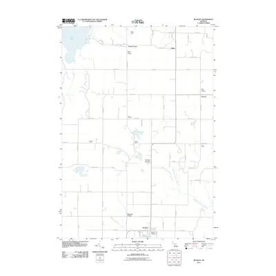 2011 Buckley2011 Print · USGSThe village of Buckley and the surrounding townships are captured here at the start of the 2010s. Researchers can trace rural landmarks including the Canada School, Monroe Center Cemetery, and the settlement of Hannah.
 - 2014 Map of Buckley, 2014 Print
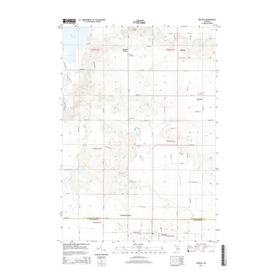 2014 Buckley2014 Print · USGSNorthern Michigan’s agricultural and lakeland character is captured here as it appeared in the early 21st century. Genealogists and local historians can trace family locations near Monroe Center, Wexford Corner, and cemeteries such as Saint Mary's Cem or Downs Cem.
 - 2017 Map of Buckley, 2017 Print
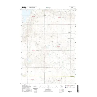 2017 Buckley2017 Print · USGSThe rural borderlands of Grand Traverse and Wexford Counties are shown here during a period of established agricultural life. Genealogists can trace family footprints through sites like Monroe Center Cem, Saint Mary's Cem, and the small settlement of Hannah.
 - 2019 Map of Buckley, 2019 Print
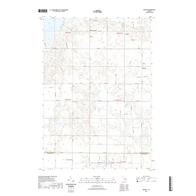 2019 Buckley2019 Print · USGSGrand Traverse and Wexford counties meet in this 2019 survey of rural Michigan’s farm and lake country. Researchers can trace family history through local landmarks like Saint Mary's Cem, Monroe Center, and the shores of Lake Gitchegumee.
 - 2023 Map of Buckley, 2023 Print
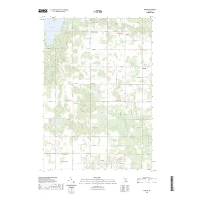 2023 Buckley2023 Print · USGSNorthwestern Michigan's rural highlands are captured here in 2023, showing the borderlands between Grand Traverse and Wexford counties. Researchers can trace the legacy of early settlements at Monroe Center and Hannah, or locate family sites near Saint Mary's Cem and Downs Cem.
End of results
Showing maps 1-11 of 11
Top cities near Duck Lake Park
- Garfield Charter Township historical maps
- Garfield Township historical maps
- Traverse City historical maps
- East Bay Township historical maps
- East Bay Charter Township historical maps
- Long Lake Township historical maps
See more
Frequently asked questions
- What are the different types of historical maps available for Duck Lake Park?
- What is the oldest map of Duck Lake Park?
- Where can I purchase historical maps of Duck Lake Park for my home or office?
- Where can I download high-res historical maps of Duck Lake Park?
- Are there historical topographic maps available for Duck Lake Park?
- Is there historical aerial imagery available for Duck Lake Park?
- Where are historical maps of Duck Lake Park sourced from?