Old Maps of Cambria Township, Michigan for Hiking & Exploration
Hike through history with 28 historic maps of Cambria Township. Explore old trails, ghost towns, and forgotten backroads — perfect for outdoor adventurers and local explorers.
- Rediscover forgotten places: Map out old mining camps, roads, and footpaths that no longer exist on modern maps.
- Layer with modern tools: Combine with LiDAR or satellite views to plan hikes through historical terrain.
- Made for exploration: Popular among hikers, overlanders, and local history lovers.
Use these maps to find adventure and explore the hidden past of Cambria Township.
Cambria Township, MI maps
(28)- 1953 Map of Fort Wayne, 1963 Print
 1953 Fort Wayne1963 Print · USGSNortheast Indiana and its neighboring borderlands in Michigan and Ohio appear here during a peak era of rail and road expansion. Researchers can trace the massive rail networks of the Nickel Plate Road and Wabash or locate lakeside landmarks like Lake Wawasee and Clear Lake.4 unique versions available
 - 1956 Map of Fort Wayne
 1956 Fort Wayne1956 Print · USGSThe tri-state borderlands of Indiana, Michigan, and Ohio are captured here in the mid-fifties, centered on the growing industrial hub of Fort Wayne. Researchers can trace the heavy rail lines of the New York Central and Pennsylvania alongside prominent water features like Lake Wawasee and the Maumee River.2 unique versions available
 - 1959 Map of Hillsdale, 1960 Print
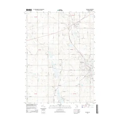
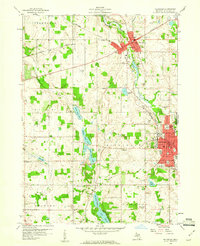 1959 Hillsdale1960 Print · USGSHillsdale and Jonesville are captured in the late fifties as thriving centers of education and rail commerce. Researchers can trace family roots at Oak Grove Cemetery, locate local landmarks like Hillsdale College, or study the vanished stops of the New York Central.2 unique versions available
 - 1959 Map of Reading, 1960 Print
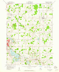
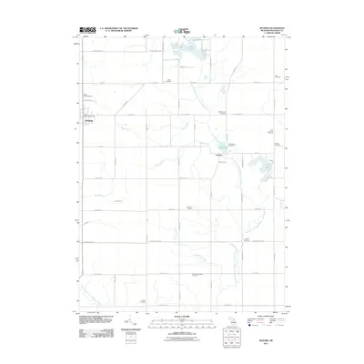
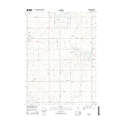
 1959 Reading1960 Print · USGSHillsdale County is captured in the late fifties as a landscape of small farm townships and rail-oriented settlements. Genealogists can trace family landmarks across several townships, including Maple Lawn Cem, the Amish Sch, and Cambria Millpond.2 unique versions available
 - 1959 Map of North Adams, 1960 Print
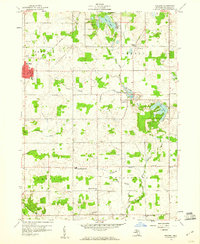
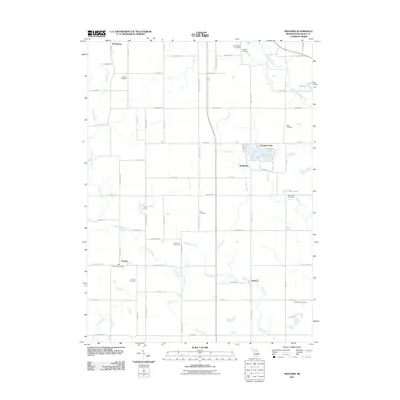
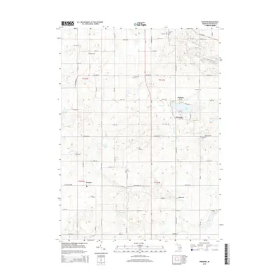
 1959 North Adams1960 Print · USGSHillsdale County at the close of the 1950s shows a thriving rail-and-lake landscape centered on the village of North Adams. Researchers can trace old property lines near Stone Sch, locate family plots at Mt Pleasant Cem, and see the early layout of Osseo.3 unique versions available
 - 1959 Map of Frontier, 1960 Print
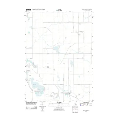
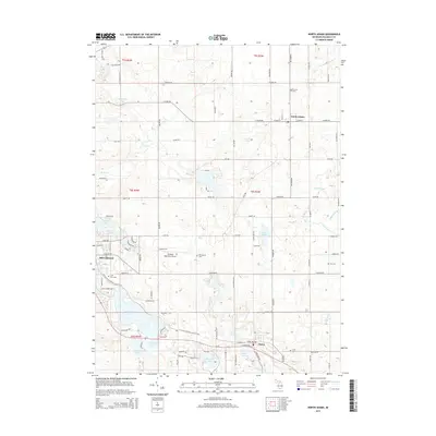
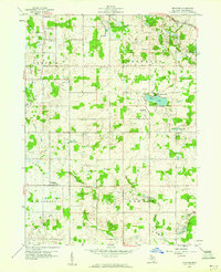 1959 Frontier1960 Print · USGSHillsdale County at the close of the fifties reveals a landscape of rural townships and lakeside settlements. Genealogists and historians can trace family locations through eight distinct burial grounds like Wild Cherry Cem and Frontier Cem, or follow the New York Central line past Bird Lake.2 unique versions available
 - 1985 Map of Adrian
 1985 Adrian1985 Print · USGSThe tri-state borderlands of Michigan, Indiana, and Ohio were well-established by the mid-1980s, characterized by a dense network of glacial lakes and agricultural rail hubs. Genealogists and historians can trace rail lines like the Norfolk and Western Railway and locate landmarks such as the Old Indian Treaty Cem or Riverside Cem.
 - 1990 Map of Adrian, 1991 Print
 1990 Adrian1991 Print · USGSThe Michigan and Ohio borderlands come alive in the final decade of the twentieth century, showing the intricate network of glacial lakes and small-town junctions. Genealogists and local researchers can pinpoint family landmarks from Lakeview Cem to the rail sidings of the Conrail and Norfolk Southern lines.
 - 2011 Map of Reading, 2011 Print
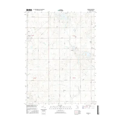
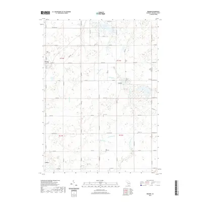
 2011 Reading2011 Print · USGSCovers Cambria Township, including Cambria, Reading, and other nearby areas
 - 2011 Map of Frontier, 2011 Print
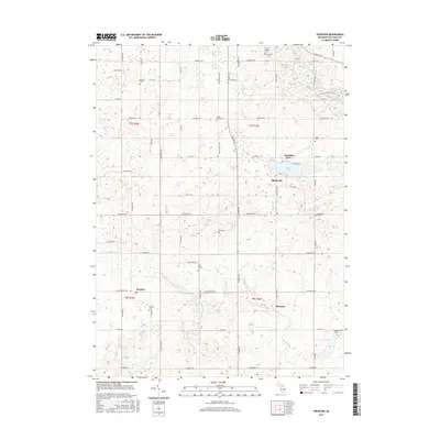
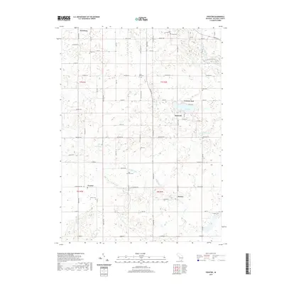
 2011 Frontier2011 Print · USGSCovers Cambria Township, including Ransom, Fountain Park, and other nearby areas
 - 2011 Map of Hillsdale, 2011 Print
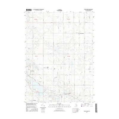
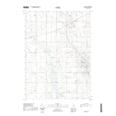
 2011 Hillsdale2011 Print · USGSCovers Cambria Township, including Hillsdale, Jonesville, and other nearby areas
 - 2011 Map of North Adams, 2011 Print
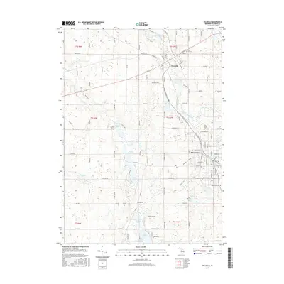
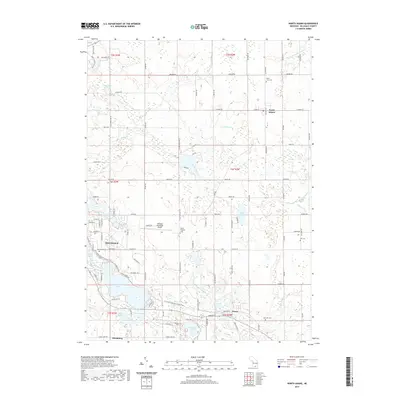
 2011 North Adams2011 Print · USGSCovers Cambria Township, including Hillsdale, North Adams, and other nearby areas
 - 2014 Map of Reading, 2014 Print
 2014 Reading2014 Print · USGSCovers Cambria Township, including Cambria, Reading, and other nearby areas
 - 2014 Map of Hillsdale, 2014 Print
 2014 Hillsdale2014 Print · USGSCovers Cambria Township, including Hillsdale, Jonesville, and other nearby areas
 - 2014 Map of North Adams, 2014 Print
 2014 North Adams2014 Print · USGSCovers Cambria Township, including Hillsdale, North Adams, and other nearby areas
 - 2014 Map of Frontier, 2014 Print
 2014 Frontier2014 Print · USGSCovers Cambria Township, including Ransom, Fountain Park, and other nearby areas
 - 2017 Map of Frontier, 2017 Print
 2017 Frontier2017 Print · USGSCovers Cambria Township, including Ransom, Fountain Park, and other nearby areas
 - 2017 Map of Hillsdale, 2017 Print
 2017 Hillsdale2017 Print · USGSCovers Cambria Township, including Hillsdale, Jonesville, and other nearby areas
 - 2017 Map of North Adams, 2017 Print
 2017 North Adams2017 Print · USGSCovers Cambria Township, including Hillsdale, North Adams, and other nearby areas
 - 2017 Map of Reading, 2017 Print
 2017 Reading2017 Print · USGSCovers Cambria Township, including Cambria, Reading, and other nearby areas
 - 2019 Map of Reading, 2019 Print
 2019 Reading2019 Print · USGSCovers Cambria Township, including Cambria, Reading, and other nearby areas
 - 2019 Map of Frontier, 2019 Print
 2019 Frontier2019 Print · USGSCovers Cambria Township, including Ransom, Fountain Park, and other nearby areas
 - 2019 Map of Hillsdale, 2019 Print
 2019 Hillsdale2019 Print · USGSCovers Cambria Township, including Hillsdale, Jonesville, and other nearby areas
 - 2019 Map of North Adams, 2019 Print
 2019 North Adams2019 Print · USGSCovers Cambria Township, including Hillsdale, North Adams, and other nearby areas
 - 2023 Map of Reading, 2023 Print
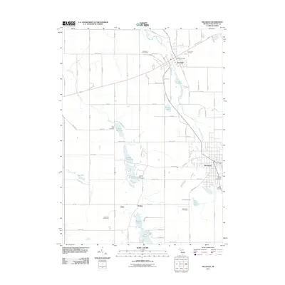
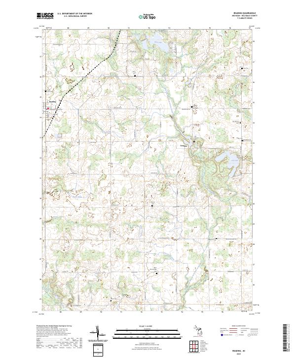 2023 Reading2023 Print · USGSHillsdale County is shown here in the early twenty-first century, centered on the rural communities of Reading and Cambria. Genealogists can trace family heritage across a landscape dotted with sites like Maple Lawn Cem, Old Sebring Cem, and Wyllys Cem.
Showing maps 1-25 of 28
Top cities near Cambria Township
- Hillsdale historical maps
- Cambria historical maps
- Jonesville historical maps
- Pittsford historical maps
- Quincy historical maps
- Moscow historical maps
See more
Top neighborhoods of Cambria Township
Frequently asked questions
- What are the different types of historical maps available for Cambria Township?
- What is the oldest map of Cambria Township?
- Where can I purchase historical maps of Cambria Township for my home or office?
- Where can I download high-res historical maps of Cambria Township?
- Are there historical topographic maps available for Cambria Township?
- Is there historical aerial imagery available for Cambria Township?
- Where are historical maps of Cambria Township sourced from?