2000s (21st Century) Maps of Woodbridge Township, Michigan
Explore 20 historic maps of Woodbridge Township from the 2000s (21st Century). These maps offer a rare glimpse into what life looked like during the 2000s — showing old roads, neighborhoods, homes, and landmarks that have changed or disappeared over time.
Whether you're researching your family's past, planning a metal detecting trip, or studying how Woodbridge Township's landscape evolved across the 2000s, these high-resolution maps are a powerful tool for exploring the history of this region.
- Focus on a specific era: All maps on this page are from the 2000s, giving you a focused view of this time period.
- See what’s changed: Compare century-old streets, trails, and buildings to today's modern landscape using overlays and satellite layers.
- Research with precision: Use these maps for genealogy, historical research, land use analysis, or educational projects.
- View, download, or print: Maps are fully viewable online in high resolution, and can be downloaded or printed for your own records.
Start exploring Woodbridge Township's history through authentic maps from the 2000s. This is your window into the past.
Woodbridge Township, MI maps
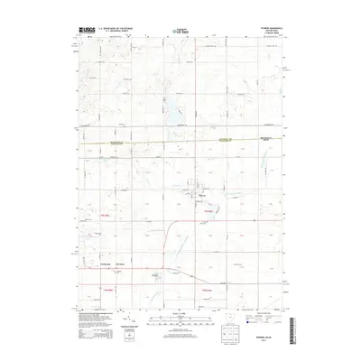
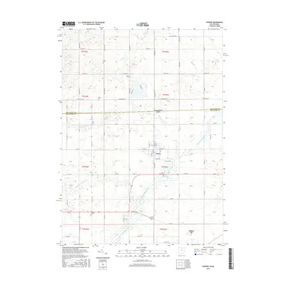
(20)- 2011 Map of Reading, 2011 Print
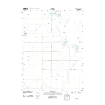 2011 Reading2011 Print · USGSCovers Woodbridge Township, including Cambria, Reading, and other nearby areas
 - 2011 Map of Pioneer, 2011 Print
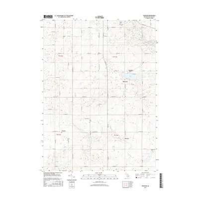
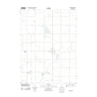 2011 Pioneer2011 Print · USGSCovers Woodbridge Township, including Pioneer, Holiday City, and other nearby areas
 - 2011 Map of Frontier, 2011 Print
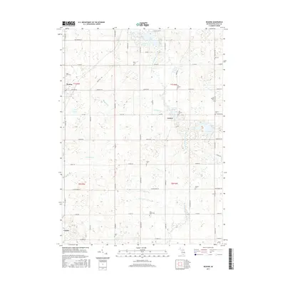
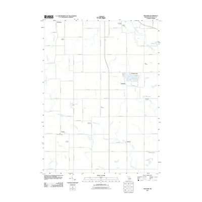 2011 Frontier2011 Print · USGSCovers Woodbridge Township, including Ransom, Fountain Park, and other nearby areas
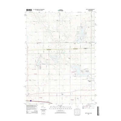
 - 2011 Map of Nettle Lake, 2011 Print
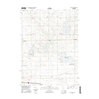
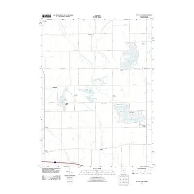 2011 Nettle Lake2011 Print · USGSCovers Woodbridge Township, including Bridgewater Center, Northwest Township, and other nearby areas
 - 2013 Map of Pioneer, 2013 Print
 2013 Pioneer2013 Print · USGSCovers Woodbridge Township, including Pioneer, Holiday City, and other nearby areas
 - 2013 Map of Nettle Lake, 2013 Print
 2013 Nettle Lake2013 Print · USGSCovers Woodbridge Township, including Bridgewater Center, Northwest Township, and other nearby areas
 - 2014 Map of Reading, 2014 Print
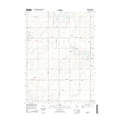 2014 Reading2014 Print · USGSCovers Woodbridge Township, including Cambria, Reading, and other nearby areas
 - 2014 Map of Frontier, 2014 Print
 2014 Frontier2014 Print · USGSCovers Woodbridge Township, including Ransom, Fountain Park, and other nearby areas
 - 2016 Map of Nettle Lake, 2016 Print
 2016 Nettle Lake2016 Print · USGSCovers Woodbridge Township, including Bridgewater Center, Northwest Township, and other nearby areas
 - 2016 Map of Pioneer, 2016 Print
 2016 Pioneer2016 Print · USGSCovers Woodbridge Township, including Pioneer, Holiday City, and other nearby areas
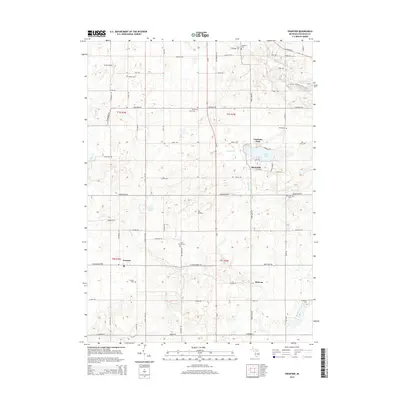
 - 2017 Map of Frontier, 2017 Print
 2017 Frontier2017 Print · USGSCovers Woodbridge Township, including Ransom, Fountain Park, and other nearby areas
 - 2017 Map of Reading, 2017 Print
 2017 Reading2017 Print · USGSCovers Woodbridge Township, including Cambria, Reading, and other nearby areas
 - 2019 Map of Nettle Lake, 2019 Print
 2019 Nettle Lake2019 Print · USGSCovers Woodbridge Township, including Bridgewater Center, Northwest Township, and other nearby areas
 - 2019 Map of Pioneer, 2019 Print
 2019 Pioneer2019 Print · USGSCovers Woodbridge Township, including Pioneer, Holiday City, and other nearby areas
 - 2019 Map of Reading, 2019 Print
 2019 Reading2019 Print · USGSCovers Woodbridge Township, including Cambria, Reading, and other nearby areas
 - 2019 Map of Frontier, 2019 Print
 2019 Frontier2019 Print · USGSCovers Woodbridge Township, including Ransom, Fountain Park, and other nearby areas
 - 2023 Map of Nettle Lake, 2023 Print
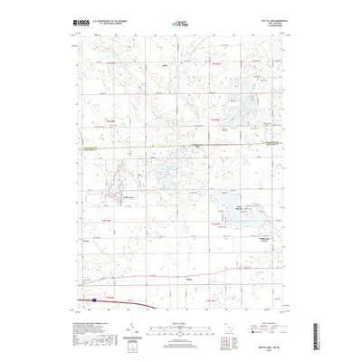
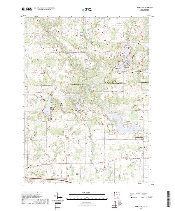 2023 Nettle Lake2023 Print · USGSThe Michigan-Ohio border region comes into focus in this contemporary survey of the tri-state area's glaciated terrain. Genealogists can trace family burial sites like Cellars Cem and Palmer Cem alongside the residential developments of Nettle Lake and Lake Seneca.
 - 2023 Map of Reading, 2023 Print
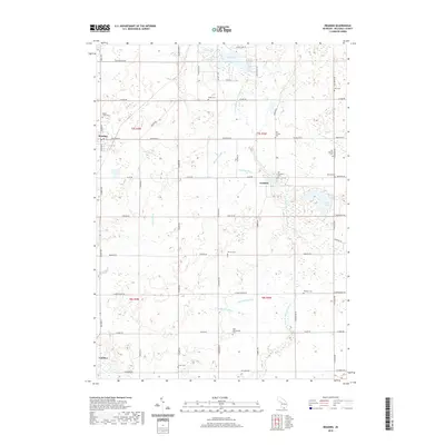
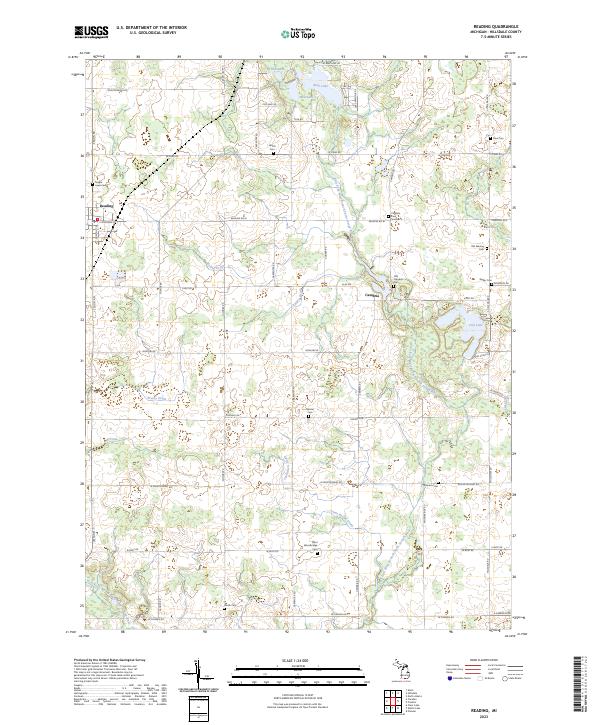 2023 Reading2023 Print · USGSHillsdale County is shown here in the early twenty-first century, centered on the rural communities of Reading and Cambria. Genealogists can trace family heritage across a landscape dotted with sites like Maple Lawn Cem, Old Sebring Cem, and Wyllys Cem.
 - 2023 Map of Pioneer, 2023 Print
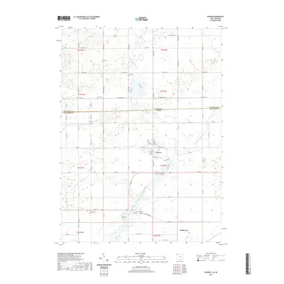
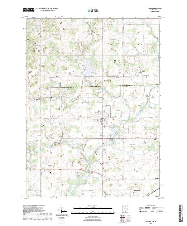 2023 Pioneer2023 Print · USGSThe tri-state border region of northwestern Ohio and southern Michigan comes alive in this contemporary survey. Family historians can trace local roots through numerous rural burial grounds like Floral Grove Cem, Drake Cem, and Cogswell Cem.
 - 2023 Map of Frontier, 2023 Print
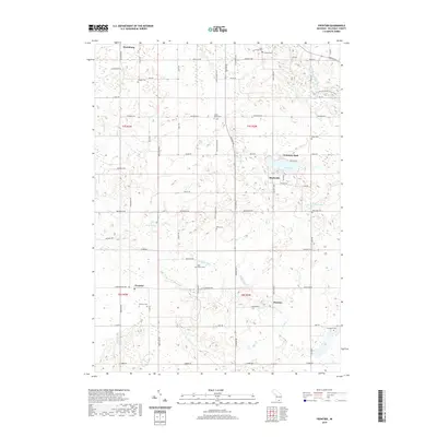
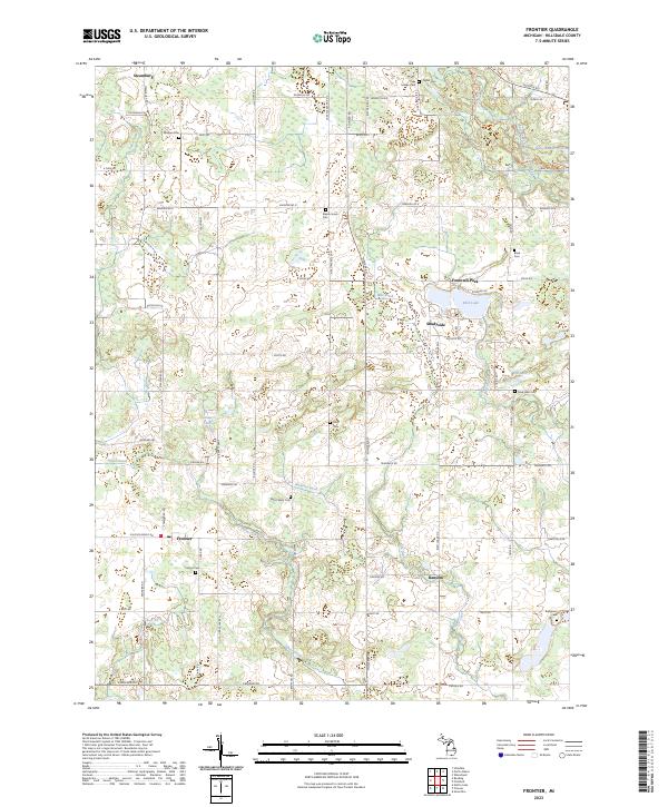 2023 Frontier2023 Print · USGSHillsdale County is shown in this contemporary survey as a landscape of small settlements and glacial lakes. Researchers can locate numerous local burial sites like Wild Cherry Cem or trace the drainage paths of Ransom Ditch and Silver Creek.
End of results
Showing maps 1-20 of 20
Top cities near Woodbridge Township
- Hillsdale historical maps
- Montpelier historical maps
- Cambria historical maps
- Jonesville historical maps
- West Unity historical maps
- Pittsford historical maps
See more
Top neighborhoods of Woodbridge Township
Frequently asked questions
- What are the different types of historical maps available for Woodbridge Township?
- What is the oldest map of Woodbridge Township?
- Where can I purchase historical maps of Woodbridge Township for my home or office?
- Where can I download high-res historical maps of Woodbridge Township?
- Are there historical topographic maps available for Woodbridge Township?
- Is there historical aerial imagery available for Woodbridge Township?
- Where are historical maps of Woodbridge Township sourced from?