Old Maps of Elm River Township, Michigan for Academic Research
Study the evolution of Elm River Township with 38 high-resolution historic maps. Whether you're teaching, researching, or modeling changes in land use, these maps provide essential visual documentation of urban, environmental, and geographic change.
- Analyze long-term change: Track patterns in development, transportation, and natural features.
- Ideal for environmental or urban studies: Support academic projects with primary historical map data.
- Use in the classroom or lab: Educators and researchers rely on these maps to bring historical context to life.
These maps are a powerful tool for teaching, research, and visualizing how Elm River Township has changed over the decades.
Elm River Township, MI maps
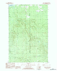
(38)- 1954 Map of Pelkie, 1956 Print
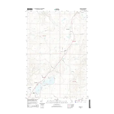
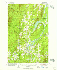 1954 Pelkie1956 Print · USGSThe Baraga County backcountry and Finnish farming settlements of the mid-1950s are preserved here in striking detail. Researchers can trace family roots through sites like Elo Cem and Pelkie Cem or locate old community landmarks like Limestone Mountain.3 unique versions available
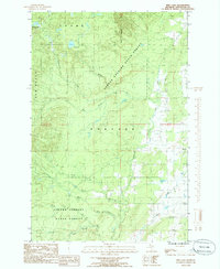
 - 1954 Map of Winona, 1956 Print
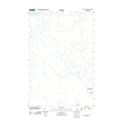
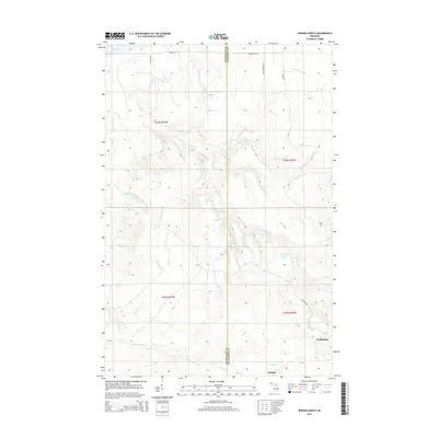
 1954 Winona1956 Print · USGSIn the mid-1950s, the Copper Country south of Houghton was a landscape of industrial mines and deep forests. Genealogists and historians can trace the foundations of Winona, locate the Winona Mine, and find rural landmarks like the Misery Bay Sch and Simar Landing Field.3 unique versions available
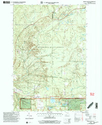
 - 1958 Map of Iron River, 1968 Print
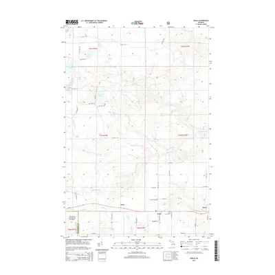
 1958 Iron River1968 Print · USGSThe Upper Peninsula in the late fifties is captured here as a landscape of timber, iron, and rail. Genealogists and historians can trace rail stops like Mass Station or explore the coastlines of Lake Gogebic and Keweenaw Bay.3 unique versions available
 - 1960 Map of Iron River
 1960 Iron River1960 Print · USGSThe Upper Peninsula’s western reaches are shown in the late fifties, featuring the industrial infrastructure of the Copper Country and the vast Ottawa National Forest. Researchers can trace the rail lines of the Milwaukee Road through settlements like Bruce Crossing and the White Pine Mine.
 - 1961 Map of Iron River
 1961 Iron River1961 Print · USGSThe Upper Peninsula and northern Wisconsin are shown here in the early 1960s, a landscape defined by the iron range and vast timberlands. Researchers can trace the legacy of mining and rail transport through Caspian, the Lac Du Flambeau Indian Reservation, and the Milwaukee Road.
 - 1967 Map of Iron River, 1968 Print
 1967 Iron River1968 Print · USGSThe Upper Peninsula and northern Wisconsin borderlands are shown here in the late sixties, a landscape of deep woods and iron-country rail lines. Genealogists and historians can trace the lakeside settlements of L'Anse and Ontonagon or follow the Soo Line through towns like Michigamme and Nestoria.
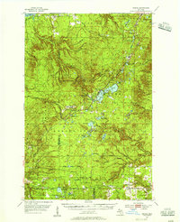
 - 1982 Map of Nisula, 1983 Print
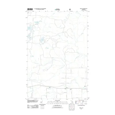
 1982 Nisula1983 Print · USGSThe townships of Laird and Bohemia appear in the early eighties as a landscape of dense forests and river headwaters. Researchers can locate the community of Nisula, find St Henrys Ch, and trace the path of the Otter River or the old railroad Siding.
 - 1982 Map of Donken, 1983 Print
 1982 Donken1983 Print · USGSThe Keweenaw Peninsula forestlands and glacial lakes are shown here in the early eighties as a quiet region of timber and recreation. Local historians can trace the small settlements of Donken and Toivola or the boundaries of Twin Lakes State Park.
 - 1982 Map of Winona South, 1983 Print
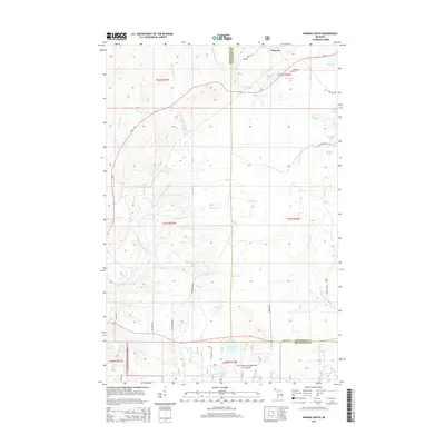
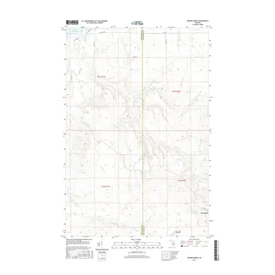
 1982 Winona South1983 Print · USGSUpper Peninsula copper country and timberlands are documented here in the early 1980s as industry and nature overlap. Local historians can trace the old Railroad grade, locate the Woodland Cemetery, and identify mining remnants like Tailings near Winona.
 - 1982 Map of Winona North, 1983 Print
 1982 Winona North1983 Print · USGSThe Upper Peninsula shoreline and the timberlands of Stanton are captured here in the early 1980s. Local researchers can trace the roads near Winona, locate the Townhall at Misery Bay, and find remote outposts like Camp 18 and Ahola.
 - 1984 Map of Pine Lake, 1985 Print
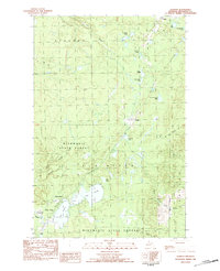
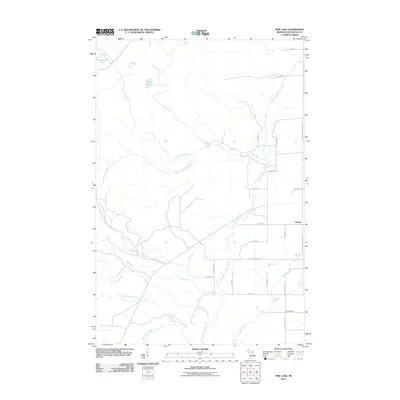
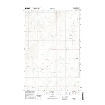
 1984 Pine Lake1985 Print · USGSHoughton County’s dense timberlands and river systems are documented here in the mid-1980s. Local researchers can locate the settlement of Tapiola, a local Cem, and the winding paths of the Elm River and Otter River.
 - 1991 Map of L'Anse
 1991 L'Anse1991 Print · USGSUpper Peninsula life in the early nineties centered on the waters of Keweenaw Bay and the timber-rich highlands of the Huron Mountains. Genealogists and researchers can trace the rail-and-road connections between L'Anse, Baraga, and smaller communities like Pequaming and Assinins.2 unique versions available
 - 1999 Map of Winona South, 2004 Print
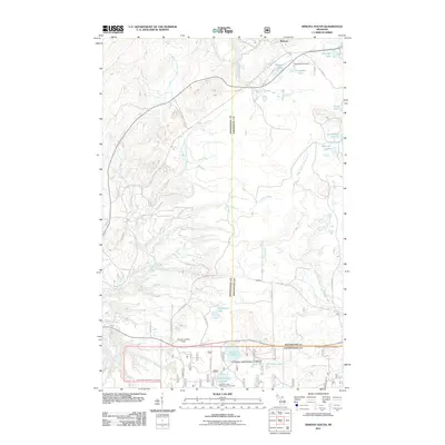
 1999 Winona South2004 Print · USGSUpper Peninsula copper country and timberlands meet in this late-twentieth-century study of the Ontonagon and Houghton county line. You can trace the remnants of local industry at the Mine Shaft and Tailings or locate family roots at the Woodland Cemetery and Winona.
 - 2011 Map of Donken, 2011 Print
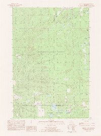
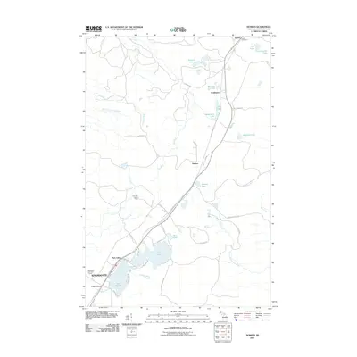 2011 Donken2011 Print · USGSCovers Elm River Township, including Stanton Township, Toivola, and other nearby areas
 - 2011 Map of Pine Lake, 2011 Print
 2011 Pine Lake2011 Print · USGSCovers Elm River Township, including Portage Township, Adams Township, and other nearby areas
 - 2011 Map of Winona North, 2011 Print
 2011 Winona North2011 Print · USGSCovers Elm River Township, including Stanton Township, Wyandotte, and other nearby areas
 - 2011 Map of Nisula, 2011 Print
 2011 Nisula2011 Print · USGSCovers Elm River Township, including White, Alston, and other nearby areas
 - 2011 Map of Winona South, 2011 Print
 2011 Winona South2011 Print · USGSCovers Elm River Township, including Winona, Laird Township, and other nearby areas
 - 2014 Map of Donken, 2014 Print
 2014 Donken2014 Print · USGSCovers Elm River Township, including Stanton Township, Toivola, and other nearby areas
 - 2014 Map of Winona North, 2014 Print
 2014 Winona North2014 Print · USGSCovers Elm River Township, including Stanton Township, Wyandotte, and other nearby areas
 - 2014 Map of Nisula, 2014 Print
 2014 Nisula2014 Print · USGSCovers Elm River Township, including White, Alston, and other nearby areas
 - 2014 Map of Winona South, 2014 Print
 2014 Winona South2014 Print · USGSCovers Elm River Township, including Winona, Laird Township, and other nearby areas
 - 2014 Map of Pine Lake, 2014 Print
 2014 Pine Lake2014 Print · USGSCovers Elm River Township, including Portage Township, Adams Township, and other nearby areas
 - 2017 Map of Winona North, 2017 Print
 2017 Winona North2017 Print · USGSCovers Elm River Township, including Stanton Township, Wyandotte, and other nearby areas
 - 2017 Map of Winona South, 2017 Print
 2017 Winona South2017 Print · USGSCovers Elm River Township, including Winona, Laird Township, and other nearby areas
Showing maps 1-25 of 38
Top cities near Elm River Township
Top neighborhoods of Elm River Township
- Donken historical maps
- Lake Roland historical maps
- Stonington historical maps
- Winona historical maps
- Wyandotte historical maps
- Twin Lakes historical maps
Frequently asked questions
- What are the different types of historical maps available for Elm River Township?
- What is the oldest map of Elm River Township?
- Where can I purchase historical maps of Elm River Township for my home or office?
- Where can I download high-res historical maps of Elm River Township?
- Are there historical topographic maps available for Elm River Township?
- Is there historical aerial imagery available for Elm River Township?
- Where are historical maps of Elm River Township sourced from?