Old Maps of Oscoda, Oscoda Township for Academic Research
Study the evolution of Oscoda with 10 high-resolution historic maps. Whether you're teaching, researching, or modeling changes in land use, these maps provide essential visual documentation of urban, environmental, and geographic change.
- Analyze long-term change: Track patterns in development, transportation, and natural features.
- Ideal for environmental or urban studies: Support academic projects with primary historical map data.
- Use in the classroom or lab: Educators and researchers rely on these maps to bring historical context to life.
These maps are a powerful tool for teaching, research, and visualizing how Oscoda has changed over the decades.
Oscoda, Oscoda Township maps
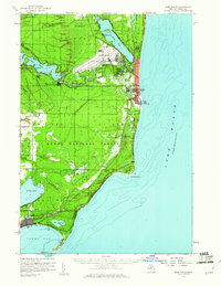
(10)- 1954 Map of Tawas City, 1968 Print
 1954 Tawas City1968 Print · USGSCoastal life along Lake Huron was defined by a mix of military aviation and hydroelectric power in the mid-fifties. Researchers can trace the river dams like Cooke Dam, the layout of Wurtsmith AFB, and the coastal mining operations at Alabaster.4 unique versions available
 - 1958 Map of Tawas City
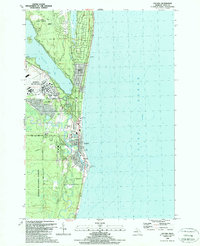
 1958 Tawas City1958 Print · USGSThe Lake Huron shoreline and northern Michigan timberlands come into focus in the late fifties, during the expansion of the Cold War. Genealogists and historians can trace rail lines like the Detroit and Mackinac, find regional landmarks like the Lumbermans Memorial Monument, and locate coastal facilities including Wurtsmith AFB.2 unique versions available
 - 1959 Map of East Tawas, 1960 Print
 1959 East Tawas1960 Print · USGSCoastal Iosco County comes to life in the late fifties, where military aviation and shoreline industry meet the Huron National Forest. Researchers can trace the layout of Wurtsmith Air Force Base or locate local landmarks like Chippewa Cem and the Foote Dam.3 unique versions available
 - 1984 Map of Tawas City, 1985 Print
 1984 Tawas City1985 Print · USGSNortheast Michigan's shoreline and forest interior are captured here in the mid-eighties, from the active runways of Wurtsmith Air Force Base to the quiet waters of Tawas Bay. Genealogists and local historians can locate rural landmarks like Skunk Sch, the Welcome Church, and the route of the Detroit and Mackinac railroad.3 unique versions available
 - 1989 Map of Oscoda
 1989 Oscoda1989 Print · USGSThe Iosco County shoreline during the late eighties shows the significant footprint of Wurtsmith Air Force Base alongside the coastal growth of Oscoda. Researchers can trace old transportation routes like the Old RR Grade and locate community landmarks including Sacred Heart Ch and St Johns Ch.
 - 2012 Map of Oscoda, 2012 Print
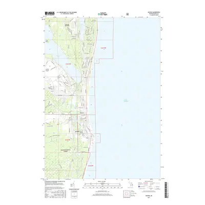
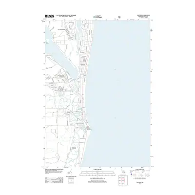 2012 Oscoda2012 Print · USGSCovers Oscoda, including Lincoln Junction, Oscoda Township, and other nearby areas
 - 2014 Map of Oscoda, 2014 Print
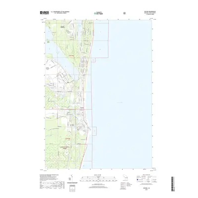
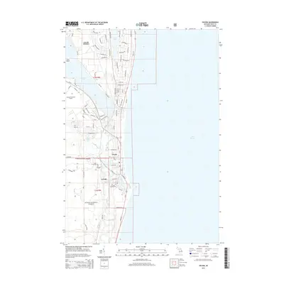 2014 Oscoda2014 Print · USGSCovers Oscoda, including Lincoln Junction, Oscoda Township, and other nearby areas
 - 2017 Map of Oscoda, 2017 Print
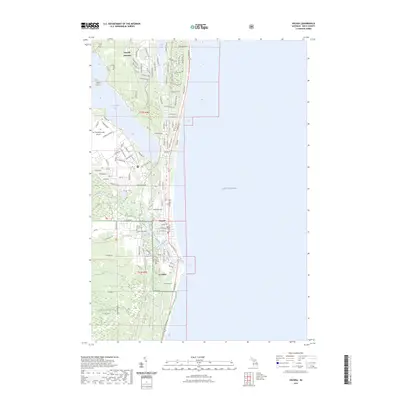
 2017 Oscoda2017 Print · USGSCovers Oscoda, including Lincoln Junction, Oscoda Township, and other nearby areas
 - 2019 Map of Oscoda, 2019 Print
 2019 Oscoda2019 Print · USGSCovers Oscoda, including Lincoln Junction, Oscoda Township, and other nearby areas
 - 2023 Map of Oscoda, 2023 Print
 2023 Oscoda2023 Print · USGSCoastal Iosco County at the edge of Lake Huron shows the vibrant transition from forest to lakefront in the early twenty-first century. Genealogists and local historians can trace family plots at Sacred Heart Cem or locate the old rail crossroads at Lincoln Junction.
End of results
Showing maps 1-10 of 10
Top cities near Oscoda
- East Tawas historical maps
- Tawas City historical maps
- Greenbush historical maps
- Mikado historical maps
- Gustin historical maps
- Wilber historical maps
Frequently asked questions
- What are the different types of historical maps available for Oscoda?
- What is the oldest map of Oscoda?
- Where can I purchase historical maps of Oscoda for my home or office?
- Where can I download high-res historical maps of Oscoda?
- Are there historical topographic maps available for Oscoda?
- Is there historical aerial imagery available for Oscoda?
- Where are historical maps of Oscoda sourced from?