Old Maps of Boardman Township, Michigan
Explore 30 old maps of Boardman Township, spanning from 1954 to today. These high-resolution historic maps reveal how streets, neighborhoods, landmarks, and natural features evolved over time — perfect for genealogy, metal detecting, research, and local history exploration.
What you can do with these maps:
- See how Boardman Township changed over time: Compare historical maps to modern-day views to trace roads, homesites, rail lines & more.
- View detailed metadata: Each map includes creators, publishers, year, scale, and archive source.
- Overlay maps with satellite & LiDAR: Visualize the past alongside modern tools to explore terrain & human change.
- Trusted historical sources: Maps sourced from the USGS, Library of Congress, and other archives.
- Access maps your way: View online, download high-res files, or order prints for personal or research use.
Start exploring old maps of Boardman Township to uncover forgotten places, hidden landmarks, and the deep history beneath your feet.
Boardman Township, MI maps
(30)- 1954 Map of Traverse City, 1965 Print
 1954 Traverse City1965 Print · USGSNorthern Michigan’s vast lakeshores and timberlands are captured here in the mid-fifties, showing the region before the modern interstate era. Genealogists and researchers can trace rail connections like the Detroit and Mackinac RR or find old communities such as Suttons Bay, Elk Rapids, and Prudenville.4 unique versions available
 - 1956 Map of Kalkaska, 1957 Print
 1956 Kalkaska1957 Print · USGSNorthern Michigan’s timber and rail landscape is captured here in the mid-1950s, centered on the Kalkaska village and the Pennsylvania Railroad. Genealogists can trace rural life through sites like Taffeltown, Excelsior Ch, and the Maplegrove Sch.4 unique versions available
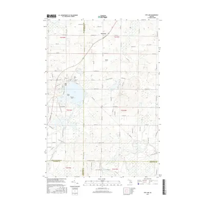
 - 1956 Map of Fife Lake, 1958 Print
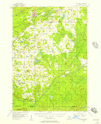
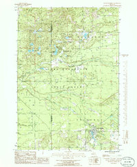
 1956 Fife Lake1958 Print · USGSUpper Michigan's glacial landscape is captured in the mid-1950s, showing a region of dense state forests and fishing lakes. Researchers can locate vanished landmarks like Walton Junction, the Fife Lake Lookout Tower, and small rural centers like South Boardman.3 unique versions available
 - 1958 Map of Traverse City
 1958 Traverse City1958 Print · USGSNorthern Lower Michigan was a landscape of vast state forests and burgeoning lakeside retreats in the late fifties. Genealogists and historians can trace the rail corridors of the Ann Arbor RR and find established settlements from Elk Rapids to Houghton Lake.2 unique versions available
 - 1983 Map of Traverse City, 1984 Print
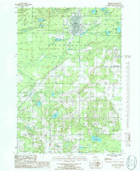
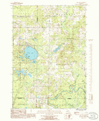
 1983 Traverse City1984 Print · USGSTraverse City and the surrounding bay country are captured in the early eighties as the region balanced its timber heritage with growing conservation. Genealogists and local historians can trace the rail lines of the Ann Arbor RR through settlements like Kingsley and Fife Lake.2 unique versions available
 - 1985 Map of Kalkaska, 1986 Print
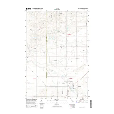
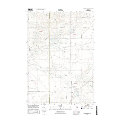
 1985 Kalkaska1986 Print · USGSMid-eighties Kalkaska is captured here as a growing hub surrounded by the sprawling woodlands of the Pere Marquette State Forest. Researchers can trace the layout of Kalkaska, find the small settlement at Crofton, and locate family-named landmarks like Vipond Creek and Butler Lake.2 unique versions available
 - 1985 Map of Smithville, 1986 Print
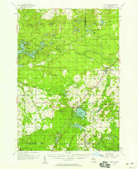
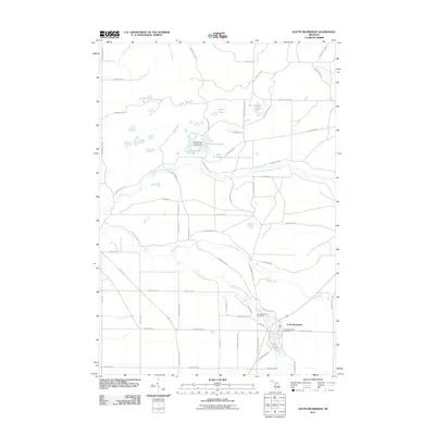
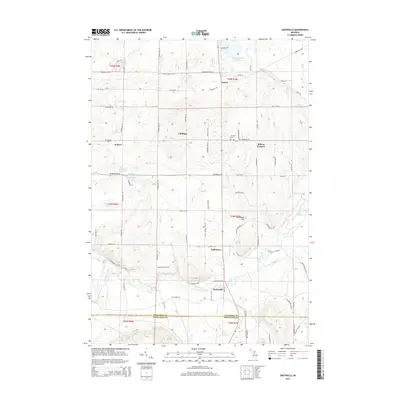
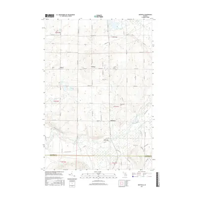
 1985 Smithville1986 Print · USGSThe Manistee River valley in the mid-1980s reveals a quiet landscape of state forest and scattered rural settlements. Researchers can trace the Old RR Grade and locate long-standing landmarks like Smithville, Taffeltown, and the Gem Township Hall.
 - 1985 Map of South Boardman, 1986 Print
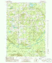
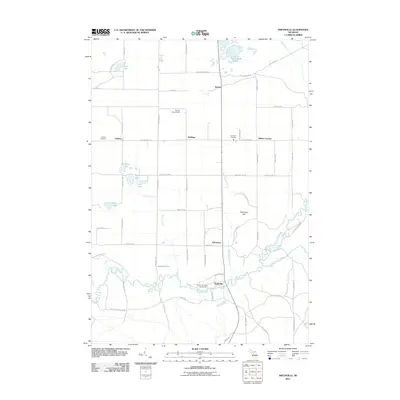
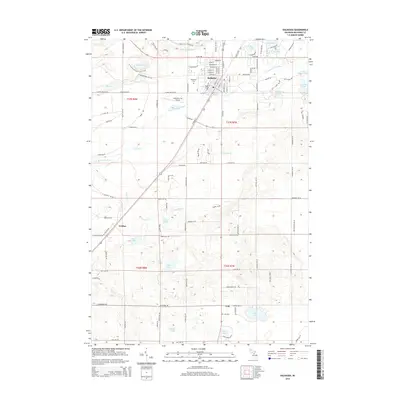
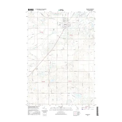
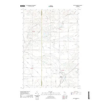
 1985 South Boardman1986 Print · USGSSouth Boardman and the surrounding Pere Marquette State Forest are documented here in the mid-eighties as a region defined by its complex river systems and glacial lakes. Researchers can locate the local Cem and Boardman Park, or trace the paths of the South Branch Boardman River and Taylor Creek.2 unique versions available
 - 1985 Map of Fife Lake, 1986 Print
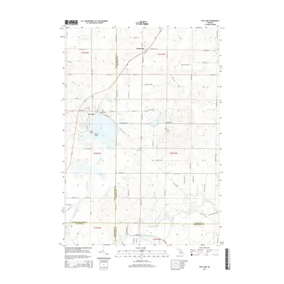
 1985 Fife Lake1986 Print · USGSThe Fife Lake region in the mid-1980s shows a landscape of glacial lakes and extensive timberlands managed by the Pere Marquette State Forest. Genealogists and local historians can trace the shoreline of Fife Lake, locate the community of Houseman, and follow the southern bend of the Manistee River.
 - 1989 Map of Traverse City, 1990 Print
 1989 Traverse City1990 Print · USGSNorthern Michigan’s lake-country and forest lands are captured in the late eighties as seasonal tourism and timber hubs expanded. Genealogists and historians can trace the routes of the Ann Arbor RR, the boundaries of Camp Grayling, and settlements like Elk Rapids and Manton.
 - 2011 Map of Fife Lake, 2011 Print
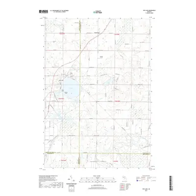
 2011 Fife Lake2011 Print · USGSCovers Boardman Township, including Fife Lake Township, Union Township, and other nearby areas
 - 2011 Map of Kalkaska, 2011 Print
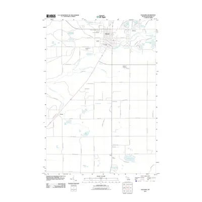 2011 Kalkaska2011 Print · USGSCovers Boardman Township, including Kalkaska, Crofton, and other nearby areas
 - 2011 Map of Smithville, 2011 Print
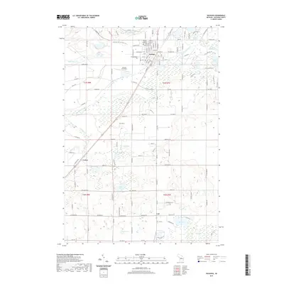
 2011 Smithville2011 Print · USGSCovers Boardman Township, including Garfield Township, Smithville, and other nearby areas
 - 2011 Map of South Boardman, 2011 Print
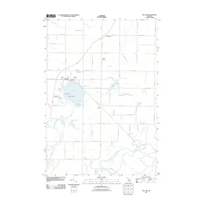
 2011 South Boardman2011 Print · USGSCovers Boardman Township, including Whitewater Township, Union Township, and other nearby areas
 - 2014 Map of South Boardman, 2014 Print
 2014 South Boardman2014 Print · USGSCovers Boardman Township, including Whitewater Township, Union Township, and other nearby areas
 - 2014 Map of Fife Lake, 2014 Print
 2014 Fife Lake2014 Print · USGSCovers Boardman Township, including Fife Lake Township, Union Township, and other nearby areas
 - 2014 Map of Kalkaska, 2014 Print
 2014 Kalkaska2014 Print · USGSCovers Boardman Township, including Kalkaska, Crofton, and other nearby areas
 - 2014 Map of Smithville, 2014 Print
 2014 Smithville2014 Print · USGSCovers Boardman Township, including Garfield Township, Smithville, and other nearby areas
 - 2017 Map of Fife Lake, 2017 Print
 2017 Fife Lake2017 Print · USGSCovers Boardman Township, including Fife Lake Township, Union Township, and other nearby areas
 - 2017 Map of South Boardman, 2017 Print
 2017 South Boardman2017 Print · USGSCovers Boardman Township, including Whitewater Township, Union Township, and other nearby areas
 - 2017 Map of Kalkaska, 2017 Print
 2017 Kalkaska2017 Print · USGSCovers Boardman Township, including Kalkaska, Crofton, and other nearby areas
 - 2017 Map of Smithville, 2017 Print
 2017 Smithville2017 Print · USGSCovers Boardman Township, including Garfield Township, Smithville, and other nearby areas
 - 2019 Map of Kalkaska, 2019 Print
 2019 Kalkaska2019 Print · USGSCovers Boardman Township, including Kalkaska, Crofton, and other nearby areas
 - 2019 Map of Fife Lake, 2019 Print
 2019 Fife Lake2019 Print · USGSCovers Boardman Township, including Fife Lake Township, Union Township, and other nearby areas
 - 2019 Map of South Boardman, 2019 Print
 2019 South Boardman2019 Print · USGSCovers Boardman Township, including Whitewater Township, Union Township, and other nearby areas
Showing maps 1-25 of 30
Top cities near Boardman Township
- East Bay Township historical maps
- Peninsula Township historical maps
- Paradise Township historical maps
- Acme Township historical maps
- Whitewater Township historical maps
- Kalkaska historical maps
See more
Top neighborhoods of Boardman Township
Frequently asked questions
- What are the different types of historical maps available for Boardman Township?
- What is the oldest map of Boardman Township?
- Where can I purchase historical maps of Boardman Township for my home or office?
- Where can I download high-res historical maps of Boardman Township?
- Are there historical topographic maps available for Boardman Township?
- Is there historical aerial imagery available for Boardman Township?
- Where are historical maps of Boardman Township sourced from?