Old Maps of Glen Haven, Glen Arbor Township
Explore 10 old maps of Glen Haven, spanning from 1954 to today. These high-resolution historic maps reveal how streets, neighborhoods, landmarks, and natural features evolved over time — perfect for genealogy, metal detecting, research, and local history exploration.
What you can do with these maps:
- See how Glen Haven changed over time: Compare historical maps to modern-day views to trace roads, homesites, rail lines & more.
- View detailed metadata: Each map includes creators, publishers, year, scale, and archive source.
- Overlay maps with satellite & LiDAR: Visualize the past alongside modern tools to explore terrain & human change.
- Trusted historical sources: Maps sourced from the USGS, Library of Congress, and other archives.
- Access maps your way: View online, download high-res files, or order prints for personal or research use.
Start exploring old maps of Glen Haven to uncover forgotten places, hidden landmarks, and the deep history beneath your feet.
Glen Haven, Glen Arbor Township maps
(10)- 1954 Map of Manitowoc, 1968 Print
 1954 Manitowoc1968 Print · USGSLake Michigan served as a vital transit corridor in the mid-fifties, with car and auto ferries linking the industrial ports of Wisconsin to the Michigan timberlands. Genealogists and maritime historians can trace active ferry routes like the Ann Arbor Railway Car and Auto Ferry and locate early settlements from Brussels to Algoma.2 unique versions available
 - 1957 Map of Empire, 1958 Print
 1957 Empire1958 Print · USGSThe Leelanau Peninsula coast in the mid-fifties shows a rugged landscape of shifting sands and Cold War defense. Genealogists and historians can locate Maple Grove Cem, the sprawling Sleeping Bear Dunes, and the Empire Air Force Station.2 unique versions available
 - 1958 Map of Manitowoc
 1958 Manitowoc1958 Print · USGSLake Michigan and its shorelines are shown in the late fifties when maritime transport defined the region. Researchers can trace the routes of the Ann Arbor Railroad Ferry or locate old settlements like St. Nazianz, Rostock, and Two Creeks.
 - 1983 Map of Glen Haven, 1984 Print
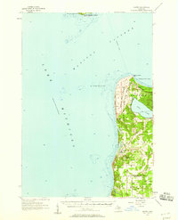
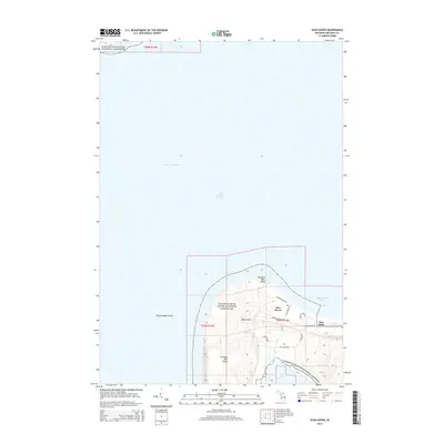
 1983 Glen Haven1984 Print · USGSThe Leelanau coastline comes into focus during the early eighties, showcasing the intersection of the maritime economy and protected parklands. Researchers can trace the layout of Glen Haven and the expansive reach of the Sleeping Bear Dunes National Lakeshore.
 - 1984 Map of Crystal Lake, 1985 Print
 1984 Crystal Lake1985 Print · USGSCoastal Benzie County in the mid-1980s reveals a landscape shaped by shifting dunes and deep glacial lakes. Researchers can trace the development of lakeside towns like Frankfort and Elberta, or locate landmarks such as the Point Betsie Lighthouse.2 unique versions available
 - 2011 Map of Glen Haven, 2011 Print
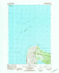
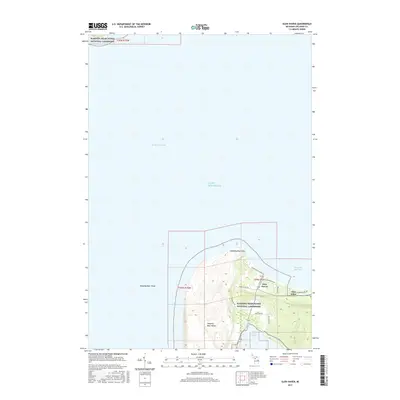
 2011 Glen Haven2011 Print · USGSCovers Glen Haven, including Glen Arbor Township, Leelanau County, and other nearby areas
 - 2014 Map of Glen Haven, 2014 Print
 2014 Glen Haven2014 Print · USGSCovers Glen Haven, including Glen Arbor Township, Leelanau County, and other nearby areas
 - 2017 Map of Glen Haven, 2017 Print
 2017 Glen Haven2017 Print · USGSCovers Glen Haven, including Glen Arbor Township, Leelanau County, and other nearby areas
 - 2019 Map of Glen Haven, 2019 Print
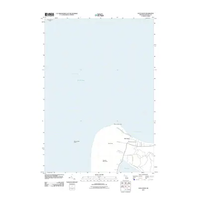
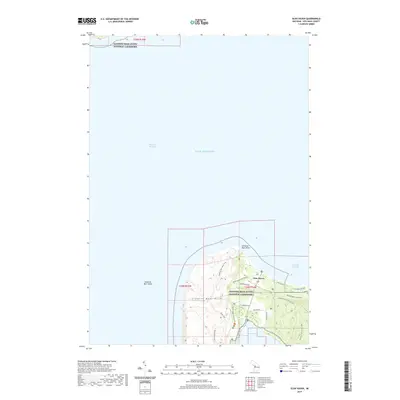 2019 Glen Haven2019 Print · USGSCovers Glen Haven, including Glen Arbor Township, Leelanau County, and other nearby areas
 - 2023 Map of Glen Haven, 2023 Print
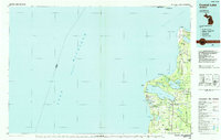
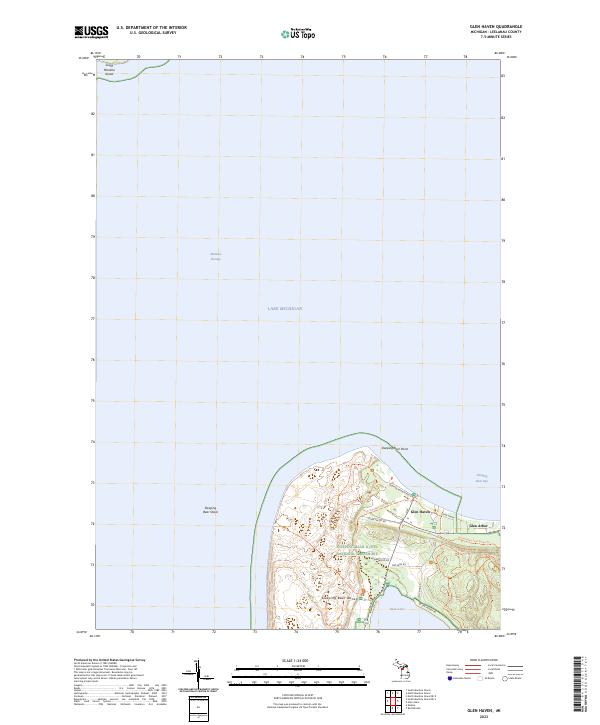 2023 Glen Haven2023 Print · USGSThe Leelanau coastline near Sleeping Bear Dunes is captured here during its modern era of preservation and recreation. Local historians can trace the relationship between the dunes and the historic settlements of Glen Haven and Glen Arbor, or find landmarks like Sleeping Bear Point and Glen Lake.
End of results
Showing maps 1-10 of 10
Top cities near Glen Haven
- Long Lake Township historical maps
- Green Lake Township historical maps
- Hardwood Acres historical maps
- Empire historical maps
- Lake Ann historical maps
- Glen Arbor historical maps
See more
Frequently asked questions
- What are the different types of historical maps available for Glen Haven?
- What is the oldest map of Glen Haven?
- Where can I purchase historical maps of Glen Haven for my home or office?
- Where can I download high-res historical maps of Glen Haven?
- Are there historical topographic maps available for Glen Haven?
- Is there historical aerial imagery available for Glen Haven?
- Where are historical maps of Glen Haven sourced from?