Old Maps of Hamburg Township, Michigan
Explore 38 old maps of Hamburg Township, spanning from 1902 to today. These high-resolution historic maps reveal how streets, neighborhoods, landmarks, and natural features evolved over time — perfect for genealogy, metal detecting, research, and local history exploration.
What you can do with these maps:
- See how Hamburg Township changed over time: Compare historical maps to modern-day views to trace roads, homesites, rail lines & more.
- View detailed metadata: Each map includes creators, publishers, year, scale, and archive source.
- Overlay maps with satellite & LiDAR: Visualize the past alongside modern tools to explore terrain & human change.
- Trusted historical sources: Maps sourced from the USGS, Library of Congress, and other archives.
- Access maps your way: View online, download high-res files, or order prints for personal or research use.
Start exploring old maps of Hamburg Township to uncover forgotten places, hidden landmarks, and the deep history beneath your feet.
Hamburg Township, MI maps
(38)- 1902 Map of Dexter, 1962 Print
 1902 Dexter1962 Print · USGSWashtenaw and Livingston counties are captured here at the start of the 1900s, as a dense network of steam and electric railroads connected riverside mill towns. Researchers can trace the vanished industrial sites at Hudson Mills, the rail junctions at Lakeland, and the early layout of Pinckney.
 - 1904 Map of Ann Arbor
 1904 Ann Arbor1904 Print · USGSEarly twentieth-century Washtenaw County comes to life through its dense network of interurban electric lines and steam railroads. Researchers can trace the layout of Ann Arbor, locate the Duck Lake School, or find vanished stops along the Michigan Central R. R. and Ann Arbor R. R..2 unique versions available
 - 1906 Map of Dexter
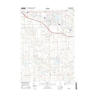
 1906 Dexter1906 Print · USGSSoutheast Michigan at the turn of the century shows a landscape defined by riverside mills and a dense network of glacial lakes. Genealogists and historians can trace the early rail corridors through Dexter, the mill sites at Delhi Mills, and the small villages of Pinckney and Pettysville.4 unique versions available
 - 1907 Map of Howell, 1959 Print
 1907 Howell1959 Print · USGSLivingston County is mapped here in the early twentieth century as a busy rail and agricultural center. Researchers can trace the legacy of rural education and industry through dozens of local sites like Jubb School, Parker Church, and the State Sanitarium.2 unique versions available
 - 1908 Map of Ann Arbor
 1908 Ann Arbor1908 Print · USGSSoutheast Michigan at the turn of the century shows a landscape transitioning through the arrival of electric rail and the growth of the Huron River valley. Genealogists and researchers can trace old family lands near Saline, Ypsilanti, and Whitmore Lake, or follow the path of the Michigan Central RR.
 - 1909 Map of Howell
 1909 Howell1909 Print · USGSLivingston County's landscape at the dawn of the century was defined by the crossing of major rail lines and the historic Grand River Road. Genealogists and local historians can trace the early sites of Oak Grove, Parshallyville, and the State Sanitarium.2 unique versions available
 - 1954 Map of Detroit
 1954 Detroit1954 Print · USGSThe Detroit metro and its Ontario neighbors are shown at the height of the mid-century industrial era, just as the suburbs were rapidly expanding. Researchers can trace the massive rail networks of the Wabash Railroad or locate landmarks like Grosse Ile and Selfridge Air Force Base.
 - 1961 Map of Detroit, 1973 Print
 1961 Detroit1973 Print · USGSThe international border between Michigan and Ontario was a bustling industrial corridor in the early sixties. Researchers can trace the transit networks and riverfront infrastructure connecting Detroit to Windsor via the Detroit-Windsor Tunnel and major air hubs like Willow Run Airport.2 unique versions available
 - 1965 Map of Detroit
 1965 Detroit1965 Print · USGSThe industrial corridor between Michigan and Ontario is captured here at mid-century, showing the dense rail and river networks of the Great Lakes. Local historians can trace the paths of the Grand Trunk Western RR and locate key landmarks like Selfridge Air Force Base and Grosse Ile.
 - 1965 Map of Pinckney, 1967 Print
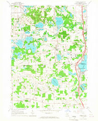
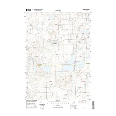
 1965 Pinckney1967 Print · USGSThe lake-rich landscape of Livingston and Washtenaw counties is captured here in the mid-sixties, centered on the village of Pinckney. Genealogists and researchers can trace local landmarks like Placeway Cem, the rural settlement of Hell, and the scientific facilities atop Peach Mountain.4 unique versions available
 - 1965 Map of Hamburg, 1967 Print
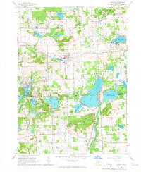
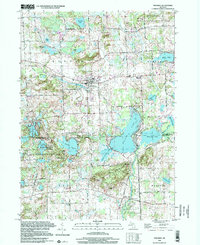
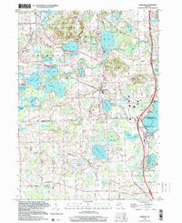
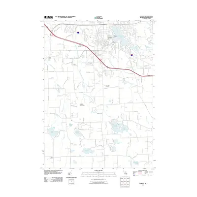
 1965 Hamburg1967 Print · USGSThe lake country of Livingston and Washtenaw Counties is captured here in the mid-1960s as residential settlements grew around the Huron River. Local historians can trace the rail paths of the Ann Arbor RR or locate landmarks like the Boys Training Camp and Pettysville.4 unique versions available
 - 1968 Map of Howell, 1970 Print
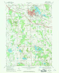 1968 Howell1970 Print · USGSHowell and its surrounding townships show a mix of civic growth and preserved wetlands during the late sixties. Researchers can trace historic family plots at Lakeview Cem and Mount Olivet Cem or locate institutional landmarks like the Howell State Hospital.3 unique versions available
 - 1968 Map of Brighton, 1970 Print
 1968 Brighton1970 Print · USGSLivingston County in the late sixties reveals a landscape of lakeside communities and growing recreational hubs. Genealogists and local historians can trace family markers at Chilson Cem, locate the old Birkenstock Sch, or study the rail operations of the Chesapeake and Ohio.3 unique versions available
 - 1985 Map of Detroit
 1985 Detroit1985 Print · USGSSoutheast Michigan in the mid-eighties shows a landscape defined by industrial power and suburban reach from the Detroit River to the Huron Valley. Researchers can trace the rail lines of the Conrail, explore the grounds of the University of Michigan, and locate numerous sites like Mt Olivet Cem.
 - 1985 Map of Pontiac
 1985 Pontiac1985 Print · USGSSoutheast Michigan in the mid-1980s shows a landscape of growing suburban corridors and expansive public parklands. Genealogists and local historians can trace the footprint of rail lines like the Grand Trunk Western or locate family sites near Oakwood Cem and White Chapel Cem.2 unique versions available
 - 1989 Map of Detroit, 1991 Print
 1989 Detroit1991 Print · USGSSoutheast Michigan and across the river into Ontario reached a point of peak metropolitan density at the end of the 1980s. Local researchers can trace the footprint of the University of Michigan campus, the industrial waterfronts of Wyandotte, and the extensive grounds of Glen Eden Cem.
 - 1996 Map of Pinckney, 2000 Print
 1996 Pinckney2000 Print · USGSLivingston and Washtenaw counties meet here in the late twentieth century, centered on the village of Pinckney and the surrounding glacial lake district. Genealogists and researchers can trace family landmarks along Territorial Road and locate rural sites like Hudson Cem and the settlement of Dover.
 - 1996 Map of Hamburg, 2000 Print
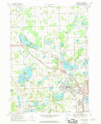
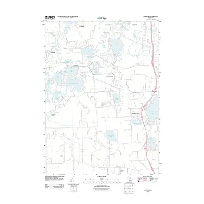
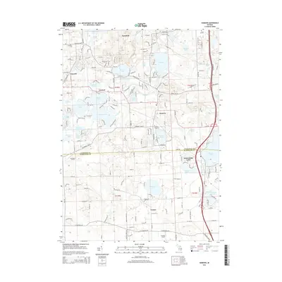
 1996 Hamburg2000 Print · USGSLivingston County lake country and the Huron River valley are captured here during the mid-1990s. Genealogists and local historians can trace the growth of Hamburg and Lakeland, or locate older landmarks like Bethel Ch and the Northfield Sch.
 - 2011 Map of Brighton, 2011 Print
 2011 Brighton2011 Print · USGSCovers Hamburg Township, including Genoa Charter Township, Green Oak Charter Township, and other nearby areas
 - 2011 Map of Pinckney, 2011 Print
 2011 Pinckney2011 Print · USGSCovers Hamburg Township, including Putnam Township, Webster Township, and other nearby areas
 - 2011 Map of Howell, 2011 Print
 2011 Howell2011 Print · USGSCovers Hamburg Township, including Genoa Charter Township, Oceola Township, and other nearby areas
 - 2011 Map of Hamburg, 2011 Print
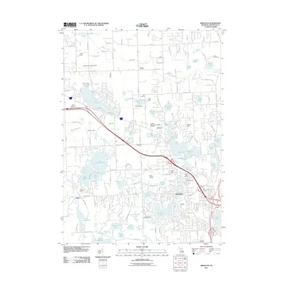
 2011 Hamburg2011 Print · USGSCovers Hamburg Township, including Green Oak Charter Township, Northfield Township, and other nearby areas
 - 2014 Map of Pinckney, 2014 Print
 2014 Pinckney2014 Print · USGSCovers Hamburg Township, including Putnam Township, Webster Township, and other nearby areas
 - 2014 Map of Howell, 2014 Print
 2014 Howell2014 Print · USGSCovers Hamburg Township, including Genoa Charter Township, Oceola Township, and other nearby areas
 - 2014 Map of Hamburg, 2014 Print
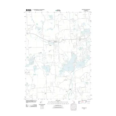
 2014 Hamburg2014 Print · USGSCovers Hamburg Township, including Green Oak Charter Township, Northfield Township, and other nearby areas
Showing maps 1-25 of 38
Top cities near Hamburg Township
- Ann Arbor historical maps
- Ypsilanti Charter Township historical maps
- Pittsfield Charter Township historical maps
- Lyon Charter Township historical maps
- Genoa Charter Township historical maps
- Ypsilanti historical maps
See more
Top neighborhoods of Hamburg Township
- Pettysville historical maps
- Lakeland historical maps
- Parishfield historical maps
- Hamburg historical maps
Frequently asked questions
- What are the different types of historical maps available for Hamburg Township?
- What is the oldest map of Hamburg Township?
- Where can I purchase historical maps of Hamburg Township for my home or office?
- Where can I download high-res historical maps of Hamburg Township?
- Are there historical topographic maps available for Hamburg Township?
- Is there historical aerial imagery available for Hamburg Township?
- Where are historical maps of Hamburg Township sourced from?