2000s (21st Century) Maps of Saint Ignace, Michigan
Explore 10 historic maps of Saint Ignace from the 2000s (21st Century). These maps offer a rare glimpse into what life looked like during the 2000s — showing old roads, neighborhoods, homes, and landmarks that have changed or disappeared over time.
Whether you're researching your family's past, planning a metal detecting trip, or studying how Saint Ignace's landscape evolved across the 2000s, these high-resolution maps are a powerful tool for exploring the history of this region.
- Focus on a specific era: All maps on this page are from the 2000s, giving you a focused view of this time period.
- See what’s changed: Compare century-old streets, trails, and buildings to today's modern landscape using overlays and satellite layers.
- Research with precision: Use these maps for genealogy, historical research, land use analysis, or educational projects.
- View, download, or print: Maps are fully viewable online in high resolution, and can be downloaded or printed for your own records.
Start exploring Saint Ignace's history through authentic maps from the 2000s. This is your window into the past.
Saint Ignace, MI maps
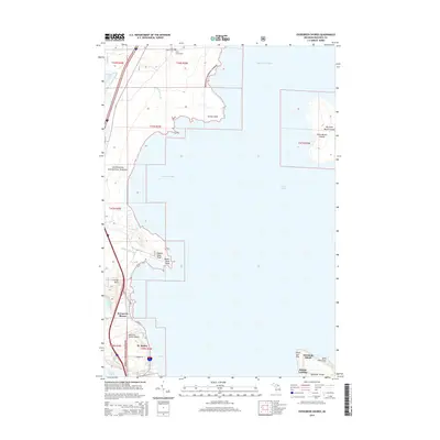
(10)- 2011 Map of Evergreen Shores, 2011 Print
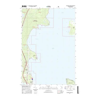
 2011 Evergreen Shores2011 Print · USGSCovers Saint Ignace, including Mackinac Island, British Landing, and other nearby areas
 - 2011 Map of Saint Ignace, 2011 Print
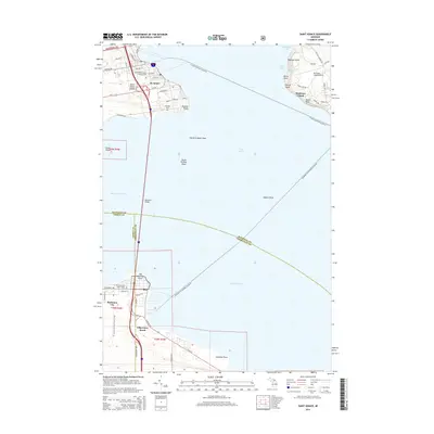
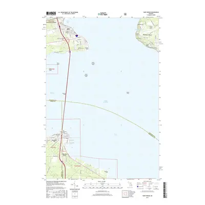
 2011 Saint Ignace2011 Print · USGSCovers Saint Ignace, including Mackinaw City, Mackinac Island, and other nearby areas
 - 2014 Map of Evergreen Shores, 2014 Print
 2014 Evergreen Shores2014 Print · USGSCovers Saint Ignace, including Mackinac Island, British Landing, and other nearby areas
 - 2014 Map of Saint Ignace, 2014 Print
 2014 Saint Ignace2014 Print · USGSCovers Saint Ignace, including Mackinaw City, Mackinac Island, and other nearby areas
 - 2017 Map of Saint Ignace, 2017 Print
 2017 Saint Ignace2017 Print · USGSCovers Saint Ignace, including Mackinaw City, Mackinac Island, and other nearby areas
 - 2017 Map of Evergreen Shores, 2017 Print
 2017 Evergreen Shores2017 Print · USGSCovers Saint Ignace, including Mackinac Island, British Landing, and other nearby areas
 - 2019 Map of Saint Ignace, 2019 Print
 2019 Saint Ignace2019 Print · USGSCovers Saint Ignace, including Mackinaw City, Mackinac Island, and other nearby areas
 - 2019 Map of Evergreen Shores, 2019 Print
 2019 Evergreen Shores2019 Print · USGSCovers Saint Ignace, including Mackinac Island, British Landing, and other nearby areas
 - 2023 Map of Evergreen Shores, 2023 Print
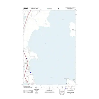
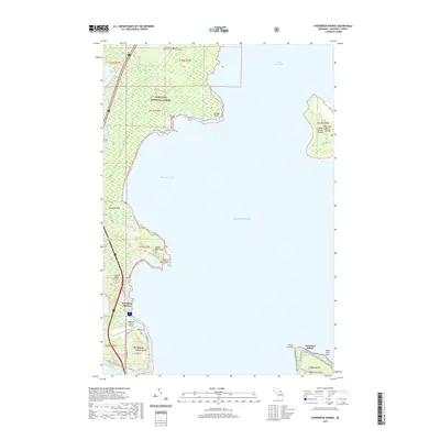
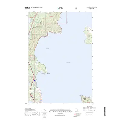 2023 Evergreen Shores2023 Print · USGSCoastal Mackinac County is mapped here in the early 2020s, showing the intersection of the Upper Peninsula mainland and the surrounding islands. Genealogists and local historians can locate Saint Ignace Township Cem or trace landmarks like Castle Rock and the Saint Martin Islands.
 - 2023 Map of Saint Ignace, 2023 Print
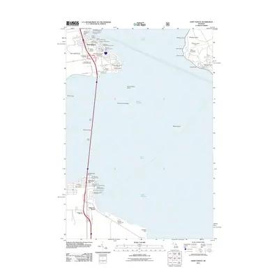
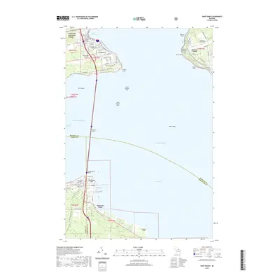
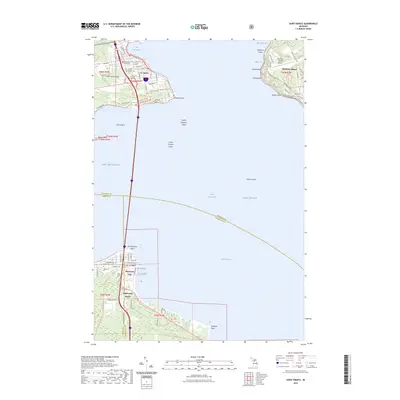 2023 Saint Ignace2023 Print · USGSThe Straits of Mackinac are captured in detail here, showing the vital connection between the Upper and Lower Peninsulas. Researchers can trace land tracts near St. Ignace and Mackinaw City, or locate historic sites like Saint Ignatius Loyola Cem and the Mackinac County Courthouse.
End of results
Showing maps 1-10 of 10
Top cities near Saint Ignace
- Cheboygan historical maps
- Moran historical maps
- Carp Lake historical maps
- Mackinaw City historical maps
- Bliss historical maps
- Mackinac Island historical maps
Frequently asked questions
- What are the different types of historical maps available for Saint Ignace?
- What is the oldest map of Saint Ignace?
- Where can I purchase historical maps of Saint Ignace for my home or office?
- Where can I download high-res historical maps of Saint Ignace?
- Are there historical topographic maps available for Saint Ignace?
- Is there historical aerial imagery available for Saint Ignace?
- Where are historical maps of Saint Ignace sourced from?