2000s (21st Century) Maps of Ray Township, Michigan
Explore 20 historic maps of Ray Township from the 2000s (21st Century). These maps offer a rare glimpse into what life looked like during the 2000s — showing old roads, neighborhoods, homes, and landmarks that have changed or disappeared over time.
Whether you're researching your family's past, planning a metal detecting trip, or studying how Ray Township's landscape evolved across the 2000s, these high-resolution maps are a powerful tool for exploring the history of this region.
- Focus on a specific era: All maps on this page are from the 2000s, giving you a focused view of this time period.
- See what’s changed: Compare century-old streets, trails, and buildings to today's modern landscape using overlays and satellite layers.
- Research with precision: Use these maps for genealogy, historical research, land use analysis, or educational projects.
- View, download, or print: Maps are fully viewable online in high resolution, and can be downloaded or printed for your own records.
Start exploring Ray Township's history through authentic maps from the 2000s. This is your window into the past.
Ray Township, MI maps
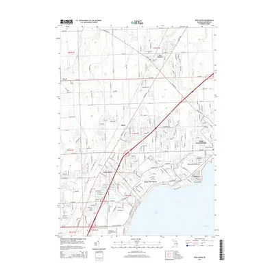
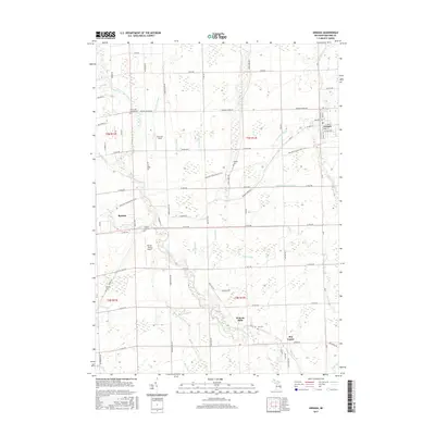
(20)- 2011 Map of Richmond, 2011 Print
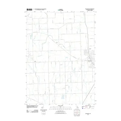 2011 Richmond2011 Print · USGSCovers Ray Township, including Richmond, Armada, and other nearby areas
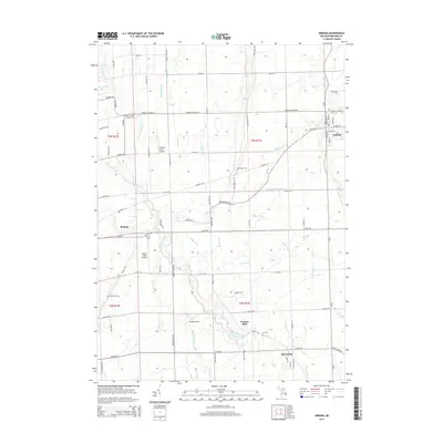
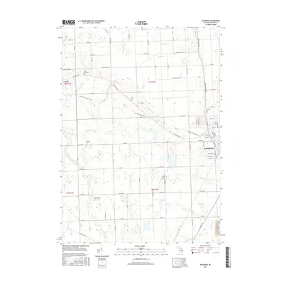
 - 2011 Map of Armada, 2011 Print
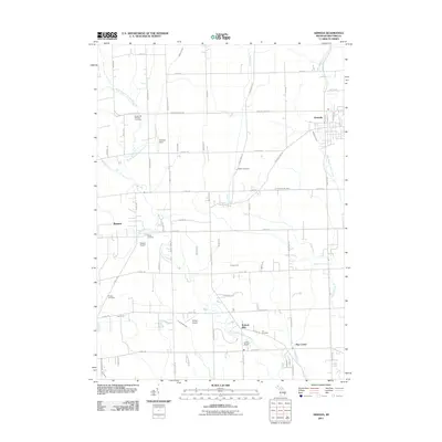 2011 Armada2011 Print · USGSCovers Ray Township, including Washington Charter Township, Romeo, and other nearby areas
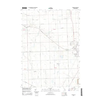
 - 2011 Map of Waldenburg, 2011 Print
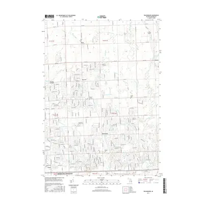
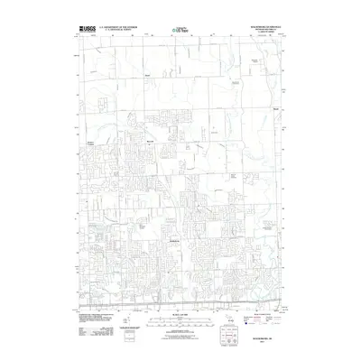 2011 Waldenburg2011 Print · USGSCovers Ray Township, including Sterling Heights, Clinton Township, and other nearby areas
 - 2011 Map of New Haven, 2011 Print
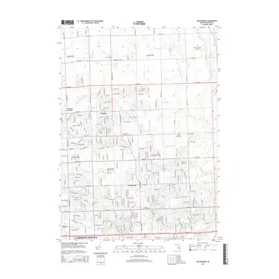
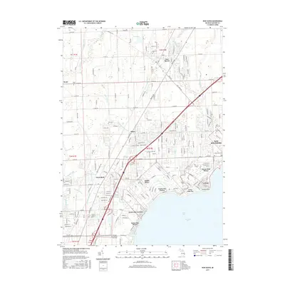
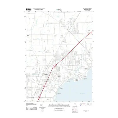 2011 New Haven2011 Print · USGSCovers Ray Township, including Clinton Township, Macomb Township, and other nearby areas
 - 2014 Map of New Haven, 2014 Print
 2014 New Haven2014 Print · USGSCovers Ray Township, including Clinton Township, Macomb Township, and other nearby areas
 - 2014 Map of Armada, 2014 Print
 2014 Armada2014 Print · USGSCovers Ray Township, including Washington Charter Township, Romeo, and other nearby areas
 - 2014 Map of Waldenburg, 2014 Print
 2014 Waldenburg2014 Print · USGSCovers Ray Township, including Sterling Heights, Clinton Township, and other nearby areas
 - 2014 Map of Richmond, 2014 Print
 2014 Richmond2014 Print · USGSCovers Ray Township, including Richmond, Armada, and other nearby areas
 - 2017 Map of Armada, 2017 Print
 2017 Armada2017 Print · USGSCovers Ray Township, including Washington Charter Township, Romeo, and other nearby areas
 - 2017 Map of New Haven, 2017 Print
 2017 New Haven2017 Print · USGSCovers Ray Township, including Clinton Township, Macomb Township, and other nearby areas
 - 2017 Map of Richmond, 2017 Print
 2017 Richmond2017 Print · USGSCovers Ray Township, including Richmond, Armada, and other nearby areas
 - 2017 Map of Waldenburg, 2017 Print
 2017 Waldenburg2017 Print · USGSCovers Ray Township, including Sterling Heights, Clinton Township, and other nearby areas
 - 2019 Map of Waldenburg, 2019 Print
 2019 Waldenburg2019 Print · USGSCovers Ray Township, including Sterling Heights, Clinton Township, and other nearby areas
 - 2019 Map of Armada, 2019 Print
 2019 Armada2019 Print · USGSCovers Ray Township, including Washington Charter Township, Romeo, and other nearby areas
 - 2019 Map of Richmond, 2019 Print
 2019 Richmond2019 Print · USGSCovers Ray Township, including Richmond, Armada, and other nearby areas
 - 2019 Map of New Haven, 2019 Print
 2019 New Haven2019 Print · USGSCovers Ray Township, including Clinton Township, Macomb Township, and other nearby areas
 - 2023 Map of Waldenburg, 2023 Print
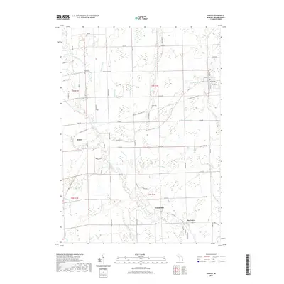
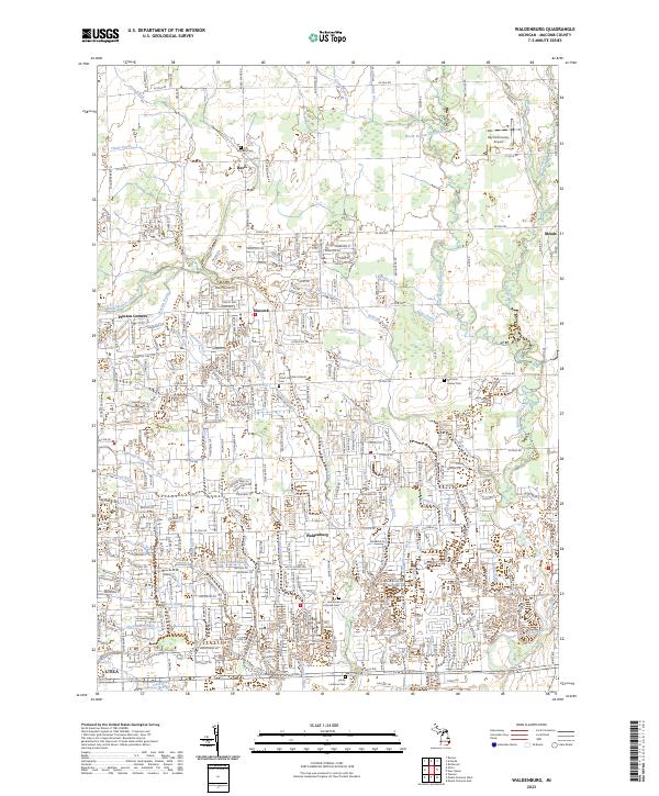 2023 Waldenburg2023 Print · USGSMacomb County settlements like Waldenburg and Preston Corners are shown during a period of modern growth. Genealogists can trace family landmarks and historical sites including Saint Peters Lutheran Church, Davis Cem, and the winding North Branch Clinton River.
 - 2023 Map of Armada, 2023 Print
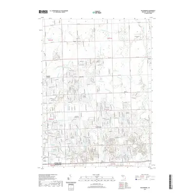
 2023 Armada2023 Print · USGSNorthern Macomb County continues its legacy of farming and river-fed industry in this recent survey. Local researchers can trace family landmarks and rural sites like Wolcott Mills, Hadley Cem, and the village of Armada.
 - 2023 Map of Richmond, 2023 Print
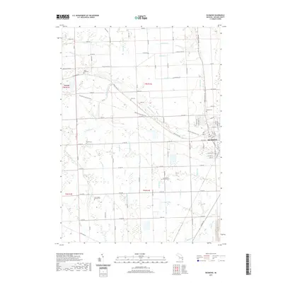
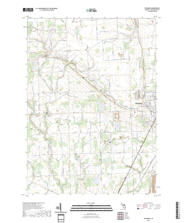 2023 Richmond2023 Print · USGSThe town of Richmond and its surrounding agricultural plains appear here in the early 2020s, showing a well-established network of county roads and local drains. Researchers can locate family landmarks like Richmond Cem, Willow Grove Cem, and the Lenox Centre Burial Grounds.
 - 2023 Map of New Haven, 2023 Print
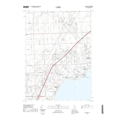
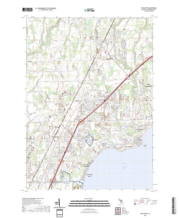 2023 New Haven2023 Print · USGSCoastal Macomb County and the inland plains come into focus in this contemporary survey of the Anchor Bay region. Researchers can trace family history through numerous burial sites like Hart Cem and Oakwood Cem or explore the rail-linked growth of New Haven.
End of results
Showing maps 1-20 of 20
Top cities near Ray Township
- Sterling Heights historical maps
- Warren historical maps
- Clinton Township historical maps
- Macomb Township historical maps
- Troy historical maps
- Shelby Charter Township historical maps
See more
Top neighborhoods of Ray Township
Frequently asked questions
- What are the different types of historical maps available for Ray Township?
- What is the oldest map of Ray Township?
- Where can I purchase historical maps of Ray Township for my home or office?
- Where can I download high-res historical maps of Ray Township?
- Are there historical topographic maps available for Ray Township?
- Is there historical aerial imagery available for Ray Township?
- Where are historical maps of Ray Township sourced from?