Old Maps of The Villas at Copperwood, Washington Charter Township for Academic Research
Study the evolution of The Villas at Copperwood with 13 high-resolution historic maps. Whether you're teaching, researching, or modeling changes in land use, these maps provide essential visual documentation of urban, environmental, and geographic change.
- Analyze long-term change: Track patterns in development, transportation, and natural features.
- Ideal for environmental or urban studies: Support academic projects with primary historical map data.
- Use in the classroom or lab: Educators and researchers rely on these maps to bring historical context to life.
These maps are a powerful tool for teaching, research, and visualizing how The Villas at Copperwood has changed over the decades.
The Villas at Copperwood, Washington Charter Township maps
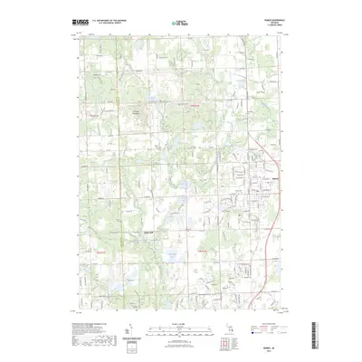
(13)- 1943 Map of Romeo, 1965 Print
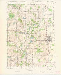 1943 Romeo1965 Print · USGSNorthern Macomb and Oakland counties are captured during the 1940s, centered on the village of Romeo and its surrounding townships. Researchers can trace the rural school systems at Clifton Sch and Mack Sch or locate the Simpson Park Camp Ground near East Mill Lake.
 - 1945 Map of Romeo
 1945 Romeo1945 Print · USGSNorthern Macomb County comes into focus just after the war, centered on the village of Romeo. Researchers can trace the rural schoolhouse system through Clifton Sch and Sikes Sch, or locate the Clifton Mill along the winding Stony Creek.2 unique versions available
 - 1954 Map of Detroit
 1954 Detroit1954 Print · USGSThe Detroit metro and its Ontario neighbors are shown at the height of the mid-century industrial era, just as the suburbs were rapidly expanding. Researchers can trace the massive rail networks of the Wabash Railroad or locate landmarks like Grosse Ile and Selfridge Air Force Base.
 - 1961 Map of Detroit, 1973 Print
 1961 Detroit1973 Print · USGSThe international border between Michigan and Ontario was a bustling industrial corridor in the early sixties. Researchers can trace the transit networks and riverfront infrastructure connecting Detroit to Windsor via the Detroit-Windsor Tunnel and major air hubs like Willow Run Airport.2 unique versions available
 - 1965 Map of Detroit
 1965 Detroit1965 Print · USGSThe industrial corridor between Michigan and Ontario is captured here at mid-century, showing the dense rail and river networks of the Great Lakes. Local historians can trace the paths of the Grand Trunk Western RR and locate key landmarks like Selfridge Air Force Base and Grosse Ile.
 - 1968 Map of Romeo, 1970 Print
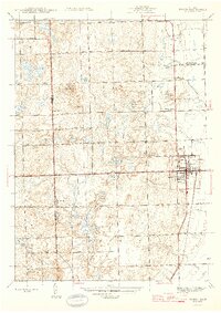
 1968 Romeo1970 Print · USGSThe village of Romeo and its surrounding townships appear in the late sixties as a landscape of glacial lakes and growing parklands. Researchers can locate family burial plots at Brabb Cem, the historic Clifton Mill, and early municipal landmarks like the Grange Hall.2 unique versions available
 - 1985 Map of Pontiac
 1985 Pontiac1985 Print · USGSSoutheast Michigan in the mid-1980s shows a landscape of growing suburban corridors and expansive public parklands. Genealogists and local historians can trace the footprint of rail lines like the Grand Trunk Western or locate family sites near Oakwood Cem and White Chapel Cem.2 unique versions available
 - 1991 Map of Romeo
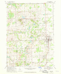
 1991 Romeo1991 Print · USGSRomeo and the surrounding townships are shown here in the early nineties as the area balanced its village character with large-scale industrial research and parklands. Genealogists and local historians can locate family plots at Bruce Cem and McCafferty Cem or trace the early settlement at Clifton Mill.
 - 2011 Map of Romeo, 2011 Print
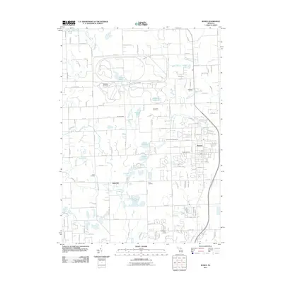 2011 Romeo2011 Print · USGSCovers The Villas at Copperwood, including Washington Charter Township, Oakland Charter Township, and other nearby areas
 - 2014 Map of Romeo, 2014 Print
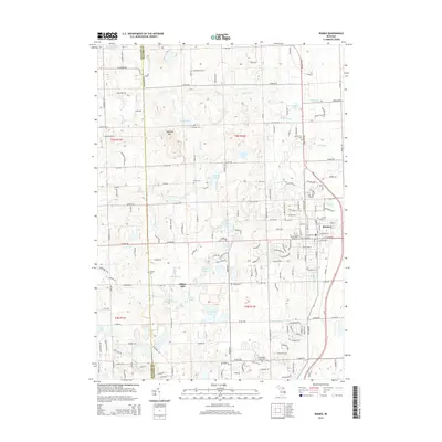 2014 Romeo2014 Print · USGSCovers The Villas at Copperwood, including Washington Charter Township, Oakland Charter Township, and other nearby areas
 - 2017 Map of Romeo, 2017 Print
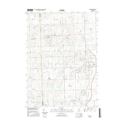 2017 Romeo2017 Print · USGSCovers The Villas at Copperwood, including Washington Charter Township, Oakland Charter Township, and other nearby areas
 - 2019 Map of Romeo, 2019 Print
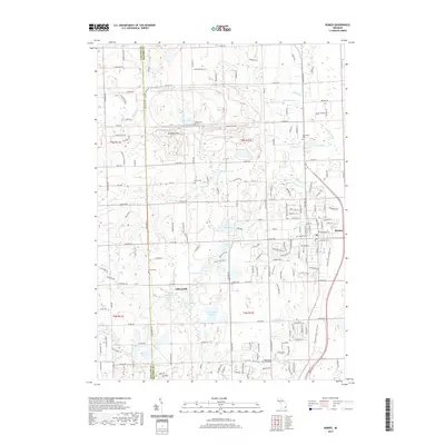 2019 Romeo2019 Print · USGSCovers The Villas at Copperwood, including Washington Charter Township, Oakland Charter Township, and other nearby areas
 - 2023 Map of Romeo, 2023 Print
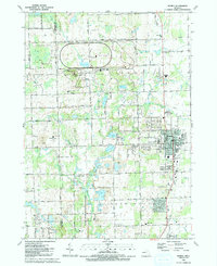
 2023 Romeo2023 Print · USGSRomeo and the surrounding lake country of Macomb and Oakland counties are captured here in the early twenty-first century. Genealogists and local historians can locate early family burial sites like Brabb Cem and McCafferty Cem or trace the industry of Clifton Mill.
End of results
Showing maps 1-13 of 13
Frequently asked questions
- What are the different types of historical maps available for The Villas at Copperwood?
- What is the oldest map of The Villas at Copperwood?
- Where can I purchase historical maps of The Villas at Copperwood for my home or office?
- Where can I download high-res historical maps of The Villas at Copperwood?
- Are there historical topographic maps available for The Villas at Copperwood?
- Is there historical aerial imagery available for The Villas at Copperwood?
- Where are historical maps of The Villas at Copperwood sourced from?