Old Maps of Manistee Township, Michigan for Hiking & Exploration
Hike through history with 33 historic maps of Manistee Township. Explore old trails, ghost towns, and forgotten backroads — perfect for outdoor adventurers and local explorers.
- Rediscover forgotten places: Map out old mining camps, roads, and footpaths that no longer exist on modern maps.
- Layer with modern tools: Combine with LiDAR or satellite views to plan hikes through historical terrain.
- Made for exploration: Popular among hikers, overlanders, and local history lovers.
Use these maps to find adventure and explore the hidden past of Manistee Township.
Manistee Township, MI maps
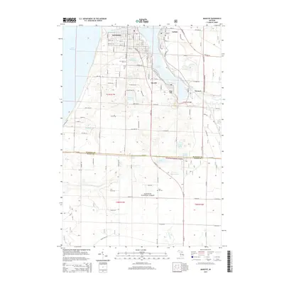
(33)- 1954 Map of Manitowoc, 1968 Print
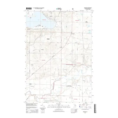
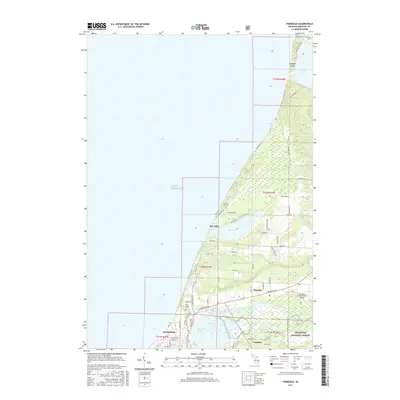
 1954 Manitowoc1968 Print · USGSLake Michigan served as a vital transit corridor in the mid-fifties, with car and auto ferries linking the industrial ports of Wisconsin to the Michigan timberlands. Genealogists and maritime historians can trace active ferry routes like the Ann Arbor Railway Car and Auto Ferry and locate early settlements from Brussels to Algoma.2 unique versions available
 - 1956 Map of Onekama, 1958 Print
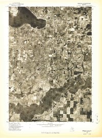
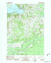
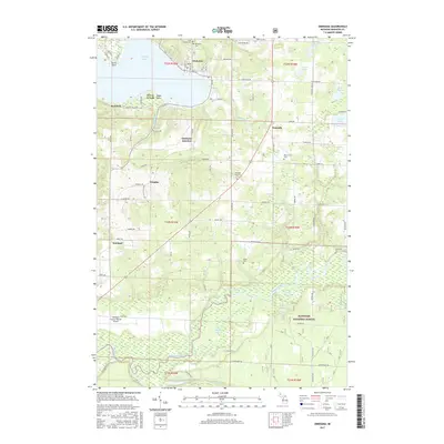
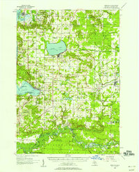 1956 Onekama1958 Print · USGSThe Manistee County shoreline and inland timberlands are captured here in the mid-1950s. Trace old township life through landmarks like Bear Lake, the Indian Village, and several schools including the Merritt Sch.3 unique versions available
 - 1956 Map of Bar Lake, 1958 Print
 1956 Bar Lake1958 Print · USGSManistee and the Lake Michigan coast are captured here during the mid-fifties, showing a bustling port city and its surrounding lakeside resorts. Genealogists and local historians can locate the Newland Sch, trace the Chesapeake and Ohio rail line, or find family plots at Oak Grove Cem.3 unique versions available
 - 1957 Map of Freesoil, 1958 Print
 1957 Freesoil1958 Print · USGSNorth of the Mason County line in the late fifties, the landscape is a patchwork of national forest and fading rural school districts. Genealogists can locate family landmarks like Tomaszewski Sch or trace the Chesapeake and Ohio rail line through Freesoil.3 unique versions available
 - 1958 Map of Manitowoc
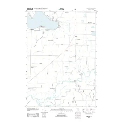
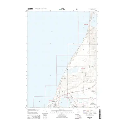
 1958 Manitowoc1958 Print · USGSLake Michigan and its shorelines are shown in the late fifties when maritime transport defined the region. Researchers can trace the routes of the Ann Arbor Railroad Ferry or locate old settlements like St. Nazianz, Rostock, and Two Creeks.
 - 1958 Map of Manistee, 1959 Print
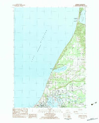
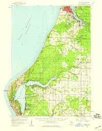 1958 Manistee1959 Print · USGSThe Lake Michigan shoreline and Manistee River valley appear here in the late fifties, showcasing the region's transition from industrial port to forest recreation. Trace local genealogy and history through landmarks like Stronach, the Old Freesoil Sch, and Sacred Heart Ch.3 unique versions available
 - 1976 Map of Onekama SW
 1976 Onekama SW1976 Print · USGSManistee County's lakeshore and river bottomlands are captured in high detail during the mid-1970s. Trace the residential layouts of Onekama and Red Park or follow the winding course of the Manistee River through the valley.
 - 1976 Map of Bar Lake SE
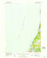
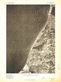 1976 Bar Lake SE1976 Print · USGSThe Lake Michigan shoreline near Manistee is captured in the mid-seventies, showing the intricate layout of ports and coastal settlements. Researchers can trace the water-frontage at Parkdale and the winding course of the Manistee River as it meets the lake.
 - 1982 Map of Onekama, 1983 Print
 1982 Onekama1983 Print · USGSThe Manistee County coastline and the Manistee River valley are shown in detail during the early eighties. Researchers can trace the Chesapeake and Ohio railroad or locate local landmarks like St Joseph Cem Onekama Cem and Norwalk Ch.
 - 1982 Map of Manistee, 1983 Print
 1982 Manistee1983 Print · USGSThe industrial hub of Manistee and its bustling lakefront are captured in the early eighties, showcasing a city defined by rail and river. Researchers can trace the layout of Filer City and Stronach, find family plots at Mt Carmel Cem, or locate schools like Guardian Angel Sch.3 unique versions available
 - 1983 Map of Parkdale
 1983 Parkdale1983 Print · USGSThe Manistee lakefront and river valley are shown in detail during the early 1980s, revealing a landscape of rail-fed industry and lakeside hamlets. Genealogy researchers can trace local roots through sites like East Lake Sch, St Marys Mt Carmel Ch, and Oak Grove.
 - 1983 Map of Manistee
 1983 Manistee1983 Print · USGSThe Lake Michigan shoreline and the wooded interior of Manistee and Mason Counties are shown here during the early 1980s. Genealogists and historians can trace rail-side towns along the Chesapeake and Ohio or explore old routes like the Old Indian Trail and settlements such as Freesoil and Kaleva.
 - 1987 Map of Star Corners, 1988 Print
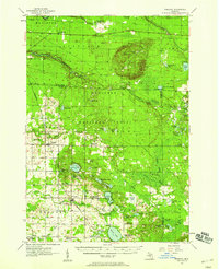
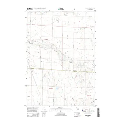
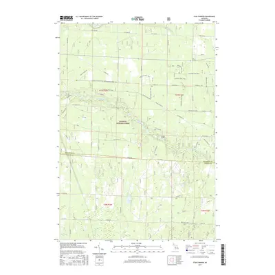
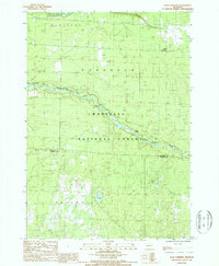 1987 Star Corners1988 Print · USGSManistee and Mason Counties are shown during the late 1980s, an era when vast tracts of river-bottom land were managed for state and federal conservation. Researchers can trace the Old Indian Treaty Boundary or locate historical sites like Star Corners and an Old Railroad Grade.
 - 2012 Map of Parkdale, 2012 Print
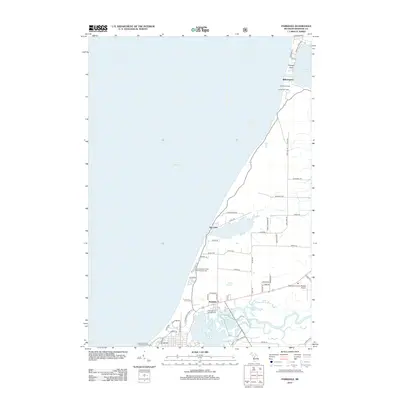 2012 Parkdale2012 Print · USGSCovers Manistee Township, including Manistee, Parkdale, and other nearby areas
 - 2012 Map of Star Corners, 2012 Print
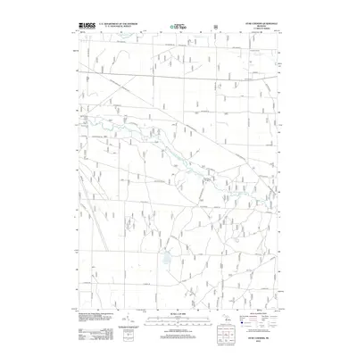 2012 Star Corners2012 Print · USGSCovers Manistee Township, including Stronach Township, Free Soil Township, and other nearby areas
 - 2012 Map of Manistee, 2012 Print
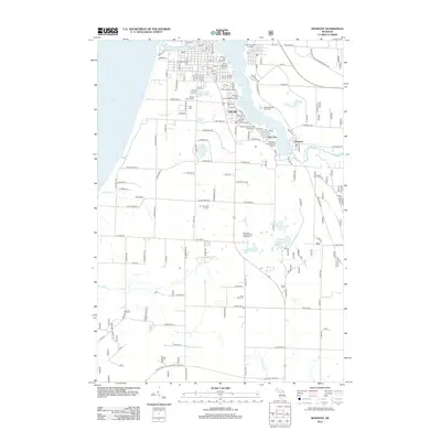 2012 Manistee2012 Print · USGSCovers Manistee Township, including Manistee, Oak Hill, and other nearby areas
 - 2012 Map of Onekama, 2012 Print
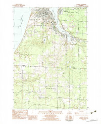
 2012 Onekama2012 Print · USGSCovers Manistee Township, including Onekama, Stronach Township, and other nearby areas
 - 2014 Map of Onekama, 2014 Print
 2014 Onekama2014 Print · USGSCovers Manistee Township, including Onekama, Stronach Township, and other nearby areas
 - 2014 Map of Manistee, 2014 Print
 2014 Manistee2014 Print · USGSCovers Manistee Township, including Manistee, Oak Hill, and other nearby areas
 - 2014 Map of Star Corners, 2014 Print
 2014 Star Corners2014 Print · USGSCovers Manistee Township, including Stronach Township, Free Soil Township, and other nearby areas
 - 2014 Map of Parkdale, 2014 Print
 2014 Parkdale2014 Print · USGSCovers Manistee Township, including Manistee, Parkdale, and other nearby areas
 - 2017 Map of Parkdale, 2017 Print
 2017 Parkdale2017 Print · USGSCovers Manistee Township, including Manistee, Parkdale, and other nearby areas
 - 2017 Map of Manistee, 2017 Print
 2017 Manistee2017 Print · USGSCovers Manistee Township, including Manistee, Oak Hill, and other nearby areas
 - 2017 Map of Onekama, 2017 Print
 2017 Onekama2017 Print · USGSCovers Manistee Township, including Onekama, Stronach Township, and other nearby areas
 - 2017 Map of Star Corners, 2017 Print
 2017 Star Corners2017 Print · USGSCovers Manistee Township, including Stronach Township, Free Soil Township, and other nearby areas
Showing maps 1-25 of 33
Top cities near Manistee Township
- Manistee historical maps
- Pleasanton historical maps
- Parkdale historical maps
- Onekama historical maps
- Arcadia historical maps
- Oak Hill historical maps
See more
Top neighborhoods of Manistee Township
- Bar Lake historical maps
- Newland historical maps
- Douglas historical maps
- Onekama Junction historical maps
- Parkdale historical maps
- Eastlake historical maps
Frequently asked questions
- What are the different types of historical maps available for Manistee Township?
- What is the oldest map of Manistee Township?
- Where can I purchase historical maps of Manistee Township for my home or office?
- Where can I download high-res historical maps of Manistee Township?
- Are there historical topographic maps available for Manistee Township?
- Is there historical aerial imagery available for Manistee Township?
- Where are historical maps of Manistee Township sourced from?