Old Maps of Pleasanton, Pleasanton Township for Academic Research
Study the evolution of Pleasanton with 11 high-resolution historic maps. Whether you're teaching, researching, or modeling changes in land use, these maps provide essential visual documentation of urban, environmental, and geographic change.
- Analyze long-term change: Track patterns in development, transportation, and natural features.
- Ideal for environmental or urban studies: Support academic projects with primary historical map data.
- Use in the classroom or lab: Educators and researchers rely on these maps to bring historical context to life.
These maps are a powerful tool for teaching, research, and visualizing how Pleasanton has changed over the decades.
Pleasanton, Pleasanton Township maps
(11)- 1954 Map of Manitowoc, 1968 Print
 1954 Manitowoc1968 Print · USGSLake Michigan served as a vital transit corridor in the mid-fifties, with car and auto ferries linking the industrial ports of Wisconsin to the Michigan timberlands. Genealogists and maritime historians can trace active ferry routes like the Ann Arbor Railway Car and Auto Ferry and locate early settlements from Brussels to Algoma.2 unique versions available
 - 1956 Map of Onekama, 1958 Print
 1956 Onekama1958 Print · USGSThe Manistee County shoreline and inland timberlands are captured here in the mid-1950s. Trace old township life through landmarks like Bear Lake, the Indian Village, and several schools including the Merritt Sch.3 unique versions available
 - 1958 Map of Manitowoc
 1958 Manitowoc1958 Print · USGSLake Michigan and its shorelines are shown in the late fifties when maritime transport defined the region. Researchers can trace the routes of the Ann Arbor Railroad Ferry or locate old settlements like St. Nazianz, Rostock, and Two Creeks.
 - 1976 Map of Onekama NE
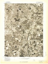 1976 Onekama NE1976 Print · USGSManistee County in the mid-1970s is captured here through detailed aerial photography, showing the rural landscape as it appeared just before modern expansion. Genealogists and land researchers can pinpoint specific farmsteads near Kaleva and Pleasanton or trace the path of the Betsie River.
 - 1982 Map of Pleasanton, 1983 Print
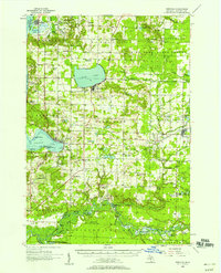
 1982 Pleasanton1983 Print · USGSManistee County in the early eighties shows a transition from traditional timber and rail land toward modern resource management. Researchers can locate the Township Cem near Pleasanton, family-named bridges like Jopp Bridge, and the Chesapeake and Ohio tracks.2 unique versions available
 - 1983 Map of Manistee
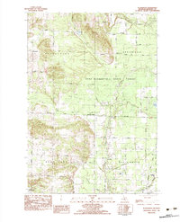
 1983 Manistee1983 Print · USGSThe Lake Michigan shoreline and the wooded interior of Manistee and Mason Counties are shown here during the early 1980s. Genealogists and historians can trace rail-side towns along the Chesapeake and Ohio or explore old routes like the Old Indian Trail and settlements such as Freesoil and Kaleva.
 - 2011 Map of Pleasanton, 2011 Print
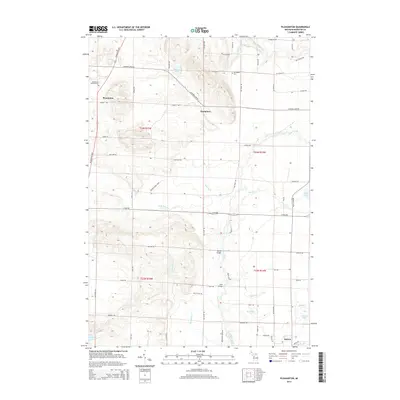
 2011 Pleasanton2011 Print · USGSCovers Pleasanton, including Kaleva, Maple Grove Township, and other nearby areas
 - 2014 Map of Pleasanton, 2014 Print
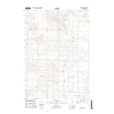
 2014 Pleasanton2014 Print · USGSCovers Pleasanton, including Kaleva, Maple Grove Township, and other nearby areas
 - 2017 Map of Pleasanton, 2017 Print
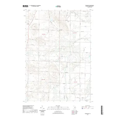
 2017 Pleasanton2017 Print · USGSCovers Pleasanton, including Kaleva, Maple Grove Township, and other nearby areas
 - 2019 Map of Pleasanton, 2019 Print
 2019 Pleasanton2019 Print · USGSCovers Pleasanton, including Kaleva, Maple Grove Township, and other nearby areas
 - 2023 Map of Pleasanton, 2023 Print
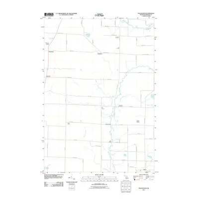
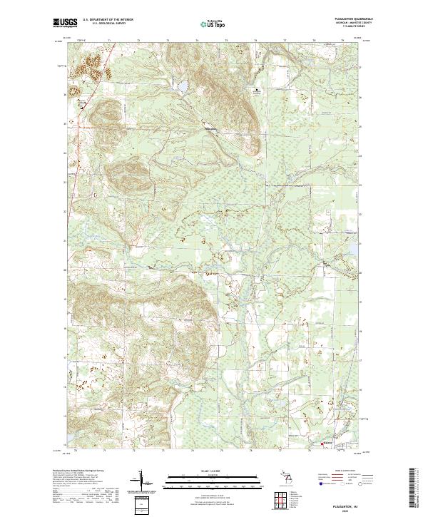 2023 Pleasanton2023 Print · USGSIn rural Manistee County during the twenty-first century, this area remains defined by its glacial lakes and small townships. Researchers can locate the Pleasanton Township Cem, trace the Betsie River in the north, and explore the outskirts of Kaleva.
End of results
Showing maps 1-11 of 11
Top cities near Pleasanton
- Manistee historical maps
- Frankfort historical maps
- Parkdale historical maps
- Onekama historical maps
- Arcadia historical maps
- Weldon historical maps
See more
Frequently asked questions
- What are the different types of historical maps available for Pleasanton?
- What is the oldest map of Pleasanton?
- Where can I purchase historical maps of Pleasanton for my home or office?
- Where can I download high-res historical maps of Pleasanton?
- Are there historical topographic maps available for Pleasanton?
- Is there historical aerial imagery available for Pleasanton?
- Where are historical maps of Pleasanton sourced from?