2000s (21st Century) Maps of Montcalm Township, Michigan
Explore 20 historic maps of Montcalm Township from the 2000s (21st Century). These maps offer a rare glimpse into what life looked like during the 2000s — showing old roads, neighborhoods, homes, and landmarks that have changed or disappeared over time.
Whether you're researching your family's past, planning a metal detecting trip, or studying how Montcalm Township's landscape evolved across the 2000s, these high-resolution maps are a powerful tool for exploring the history of this region.
- Focus on a specific era: All maps on this page are from the 2000s, giving you a focused view of this time period.
- See what’s changed: Compare century-old streets, trails, and buildings to today's modern landscape using overlays and satellite layers.
- Research with precision: Use these maps for genealogy, historical research, land use analysis, or educational projects.
- View, download, or print: Maps are fully viewable online in high resolution, and can be downloaded or printed for your own records.
Start exploring Montcalm Township's history through authentic maps from the 2000s. This is your window into the past.
Montcalm Township, MI maps
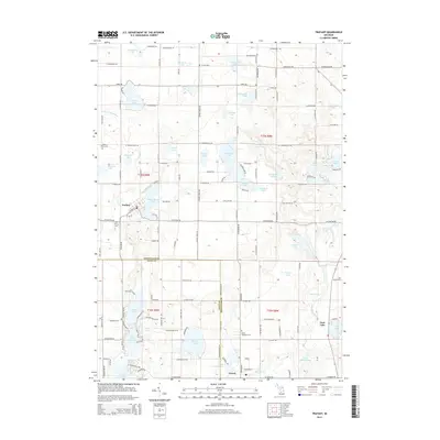
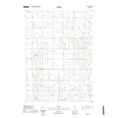
(20)- 2011 Map of Trufant, 2011 Print
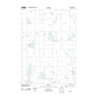 2011 Trufant2011 Print · USGSCovers Montcalm Township, including Trufant, Turk Lake, and other nearby areas
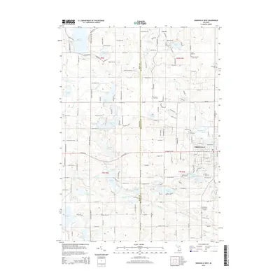
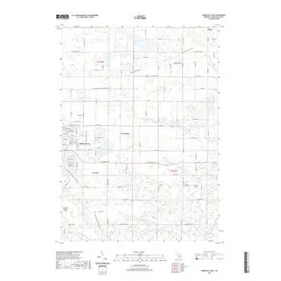
 - 2011 Map of Greenville West, 2011 Print
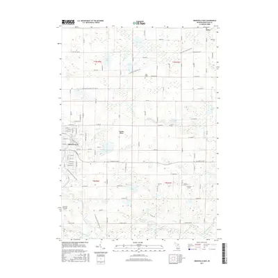
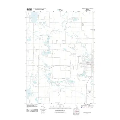 2011 Greenville West2011 Print · USGSCovers Montcalm Township, including Greenville, Oakfield Township, and other nearby areas
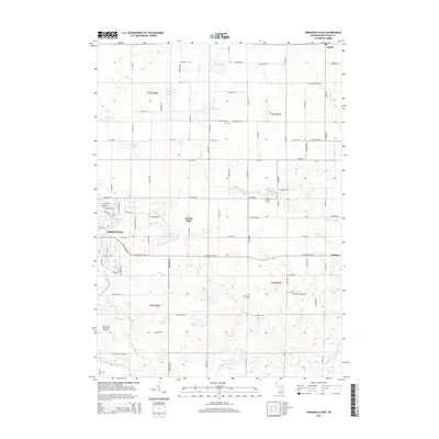
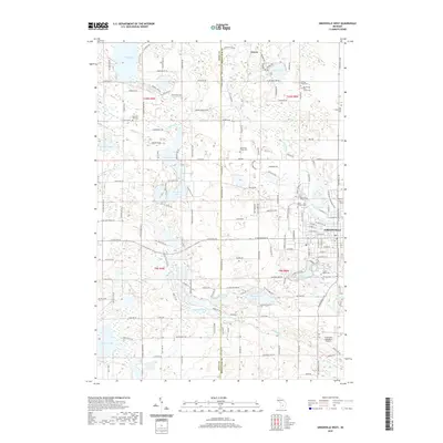
 - 2011 Map of Greenville East, 2011 Print
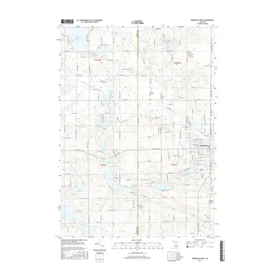
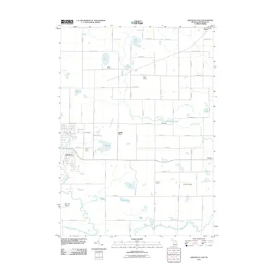 2011 Greenville East2011 Print · USGSCovers Montcalm Township, including Greenville, Fairplain Township, and other nearby areas
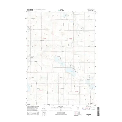
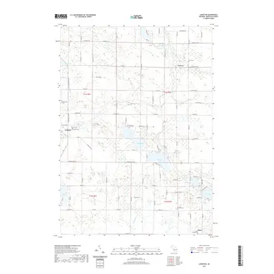
 - 2011 Map of Langston, 2011 Print
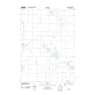 2011 Langston2011 Print · USGSCovers Montcalm Township, including Sidney, Entrican, and other nearby areas
 - 2014 Map of Trufant, 2014 Print
 2014 Trufant2014 Print · USGSCovers Montcalm Township, including Trufant, Turk Lake, and other nearby areas
 - 2014 Map of Langston, 2014 Print
 2014 Langston2014 Print · USGSCovers Montcalm Township, including Sidney, Entrican, and other nearby areas
 - 2014 Map of Greenville West, 2014 Print
 2014 Greenville West2014 Print · USGSCovers Montcalm Township, including Greenville, Oakfield Township, and other nearby areas
 - 2014 Map of Greenville East, 2014 Print
 2014 Greenville East2014 Print · USGSCovers Montcalm Township, including Greenville, Fairplain Township, and other nearby areas
 - 2017 Map of Langston, 2017 Print
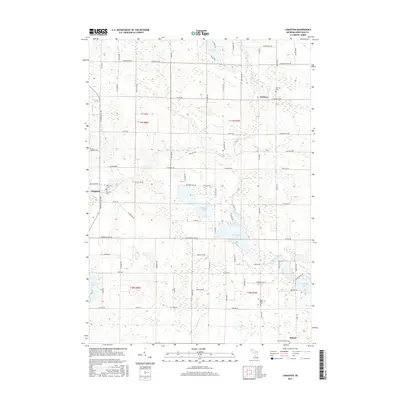 2017 Langston2017 Print · USGSCovers Montcalm Township, including Sidney, Entrican, and other nearby areas
 - 2017 Map of Greenville East, 2017 Print
 2017 Greenville East2017 Print · USGSCovers Montcalm Township, including Greenville, Fairplain Township, and other nearby areas
 - 2017 Map of Trufant, 2017 Print
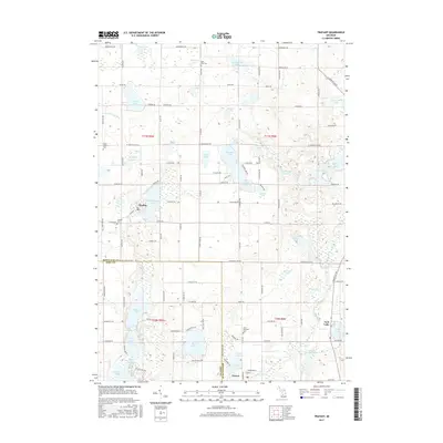 2017 Trufant2017 Print · USGSCovers Montcalm Township, including Trufant, Turk Lake, and other nearby areas
 - 2017 Map of Greenville West, 2017 Print
 2017 Greenville West2017 Print · USGSCovers Montcalm Township, including Greenville, Oakfield Township, and other nearby areas
 - 2019 Map of Trufant, 2019 Print
 2019 Trufant2019 Print · USGSCovers Montcalm Township, including Trufant, Turk Lake, and other nearby areas
 - 2019 Map of Greenville East, 2019 Print
 2019 Greenville East2019 Print · USGSCovers Montcalm Township, including Greenville, Fairplain Township, and other nearby areas
 - 2019 Map of Greenville West, 2019 Print
 2019 Greenville West2019 Print · USGSCovers Montcalm Township, including Greenville, Oakfield Township, and other nearby areas
 - 2019 Map of Langston, 2019 Print
 2019 Langston2019 Print · USGSCovers Montcalm Township, including Sidney, Entrican, and other nearby areas
 - 2023 Map of Langston, 2023 Print
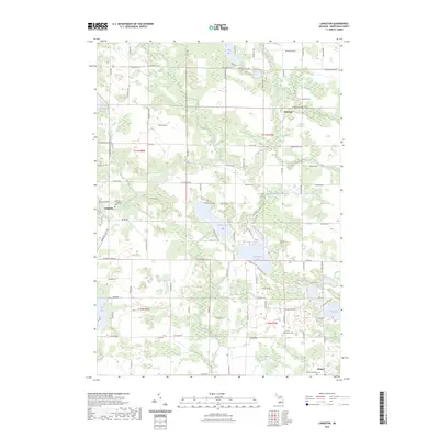 2023 Langston2023 Print · USGSMontcalm County’s rural crossroads and lake-dotted landscape are documented here in the early twenty-first century. Genealogists and local historians can pinpoint Riverside - Langston Cem and family-named routes near Entrican and Clifford Lake.
 - 2023 Map of Greenville West, 2023 Print
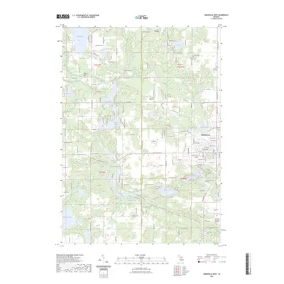 2023 Greenville West2023 Print · USGSModern-day Greenville and the surrounding lake country of Montcalm County appear here in fine detail. Genealogists can locate several local burial sites like Spencer Mills Cem and Monroe Cem alongside landmarks such as Wabasis Lake and the Flat River.
 - 2023 Map of Greenville East, 2023 Print
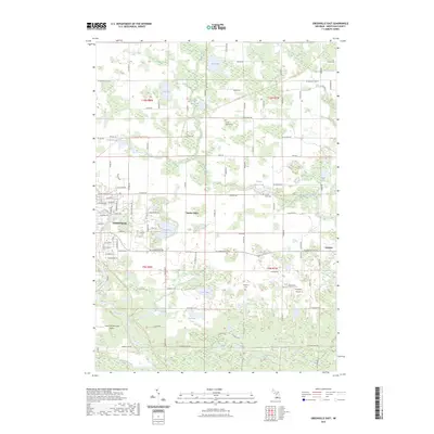 2023 Greenville East2023 Print · USGSGreenville and its eastern outskirts are captured here during a period of steady rural-to-suburban transition. Researchers can trace family history through local sites like South Sidney Cem or explore the development of the Fred Meijer Heartland Trl.
 - 2023 Map of Trufant, 2023 Print
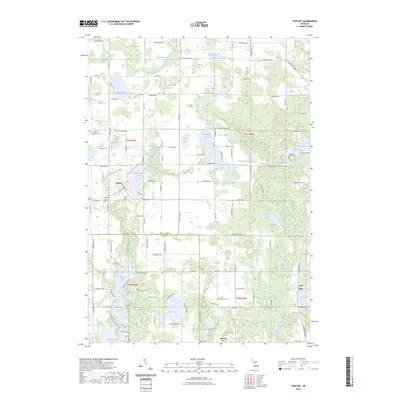 2023 Trufant2023 Print · USGSThe Montcalm County lake country comes into focus in this recent study of the landscapes surrounding the villages of Trufant and Gowen. Local researchers can trace family roots through several dedicated burial sites like Little Denmark Cem and explore the complex drainage networks of Lovett and Cody Drain.
End of results
Showing maps 1-20 of 20
Top cities near Montcalm Township
- Ada Township historical maps
- Cannon Township historical maps
- Greenville historical maps
- Belding historical maps
- Vergennes Township historical maps
- Grattan historical maps
See more
Top neighborhoods of Montcalm Township
Frequently asked questions
- What are the different types of historical maps available for Montcalm Township?
- What is the oldest map of Montcalm Township?
- Where can I purchase historical maps of Montcalm Township for my home or office?
- Where can I download high-res historical maps of Montcalm Township?
- Are there historical topographic maps available for Montcalm Township?
- Is there historical aerial imagery available for Montcalm Township?
- Where are historical maps of Montcalm Township sourced from?