Old Maps of Casnovia Township, Michigan
Explore 32 old maps of Casnovia Township, spanning from 1945 to today. These high-resolution historic maps reveal how streets, neighborhoods, landmarks, and natural features evolved over time — perfect for genealogy, metal detecting, research, and local history exploration.
What you can do with these maps:
- See how Casnovia Township changed over time: Compare historical maps to modern-day views to trace roads, homesites, rail lines & more.
- View detailed metadata: Each map includes creators, publishers, year, scale, and archive source.
- Overlay maps with satellite & LiDAR: Visualize the past alongside modern tools to explore terrain & human change.
- Trusted historical sources: Maps sourced from the USGS, Library of Congress, and other archives.
- Access maps your way: View online, download high-res files, or order prints for personal or research use.
Start exploring old maps of Casnovia Township to uncover forgotten places, hidden landmarks, and the deep history beneath your feet.
Casnovia Township, MI maps
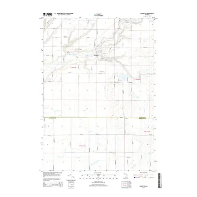
(32)- 1945 Map of Ravenna, 1947 Print
 1945 Ravenna1947 Print · USGSNear the close of the war years, this area north of the Grand River was a bustling network of small farming towns and rural school districts. Genealogists and local historians can trace the foundations of Coopersville, Ravenna, and Conklin, or locate family sites near McNitt Cem and Hoogstraat Sch.3 unique versions available
 - 1954 Map of Midland, 1967 Print
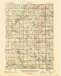
 1954 Midland1967 Print · USGSMid-Michigan at the peak of the post-war era shows a landscape balancing industrial growth in Midland with the deep timberlands of the Manistee National Forest. Researchers can trace the legacy of the timber and rail era along the Pennsylvania RR or find family roots in river towns like Chesaning and Big Rapids.4 unique versions available
 - 1958 Map of Midland
 1958 Midland1958 Print · USGSCentral Michigan in the late fifties is captured here during a period of transition for its university towns and industrial hubs. Genealogists and researchers can trace family lines through old rail-stop towns like Breckenridge and Chesaning or locate property near the Muskegon River and Prairie Farm.
 - 1958 Map of Fremont, 1960 Print
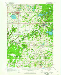 1958 Fremont1960 Print · USGSNewaygo County's transition from forest to farmland is visible in this mid-century survey of the Muskegon River valley. Genealogists can trace family roots through numerous rural landmarks like the Danish Ch, Reeman Cem, and more than twenty localized schoolhouses.2 unique versions available
 - 1959 Map of Midland
 1959 Midland1959 Print · USGSMid-century Michigan comes alive in this survey of the central Lower Peninsula, from the streets of Grand Rapids to the Houghton Lake timberlands. Genealogists and rail fans can trace the Ann Arbor RR and Chesapeake and Ohio RR through towns like Big Rapids and Mount Pleasant.
 - 1966 Map of Midland
 1966 Midland1966 Print · USGSCentral Michigan in the mid-1960s shows a landscape of growing manufacturing hubs and active resource extraction. Genealogists and historians can trace the rail corridors of the Grand Trunk Western or locate family-named landmarks near Oil wells and the Muskegon River.
 - 1980 Map of Ravenna
 1980 Ravenna1980 Print · USGSThe rural landscapes of Muskegon and Ottawa counties are captured here in the 1970s. Trace family history at McNitt Cemetery, explore the Old Railroad Grade, or locate the Wayside Chapel near Ravenna.
 - 1980 Map of Casnovia, 1981 Print
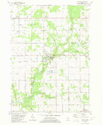
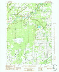
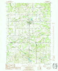
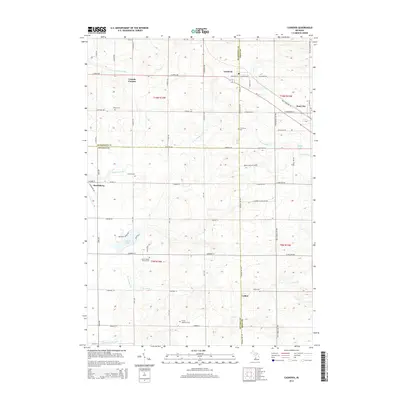
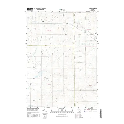
 1980 Casnovia1981 Print · USGSThe West Michigan borderlands of Kent and Muskegon counties are captured here in the early 1980s as traditional farming and local rail lines shaped the landscape. Researchers can trace family-named landmarks like Hilton Cem, early settlements at Lisbon, and rural centers like North Chester Ch.
 - 1985 Map of Cedar Springs
 1985 Cedar Springs1985 Print · USGSThe northern reaches of the Grand Rapids metro area meet the forests of the Manistee during the mid-eighties. Genealogists and historians can trace the paths of the Grand Trunk Western RR through Sparta or locate rural landmarks near Cedar Springs and Rockford.
 - 1985 Map of Bridgeton
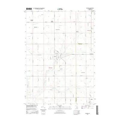
 1985 Bridgeton1985 Print · USGSThe Muskegon River valley in the early 1980s reveals a mix of conservation lands and rural township life. Genealogists and local historians can locate the Bridgeton Ch, the village of Trent, and the small Cem tucked near the Muskegon River banks.
 - 1985 Map of Grant
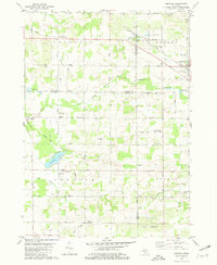
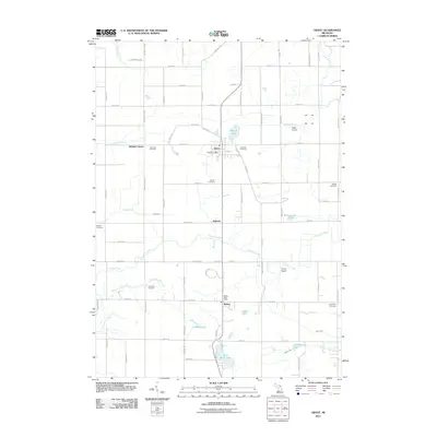
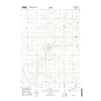
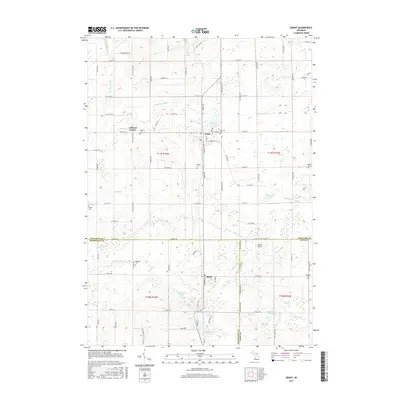
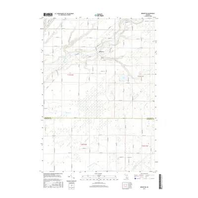
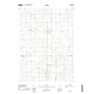
 1985 Grant1985 Print · USGSThe agricultural heart of West Michigan comes into focus in the mid-1980s as the Chesapeake and Ohio railroad tracks connect these rural communities. Genealogists and local researchers can trace family landmarks like Seamans Cem, Danish Cem, and the old North Casnovia Sch.
 - 1986 Map of Cedar Springs, 1989 Print
 1986 Cedar Springs1989 Print · USGSThe northern suburbs of Grand Rapids meet the Manistee National Forest in the mid-1980s. Genealogists and historians can trace the rail-side growth of Howard City, Rockford, and Greenville along the C & O RR and Flat River.
 - 2011 Map of Ravenna, 2011 Print
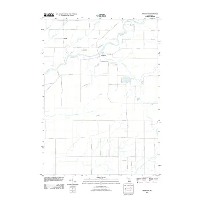
 2011 Ravenna2011 Print · USGSCovers Casnovia Township, including Moorland, Ravenna, and other nearby areas
 - 2011 Map of Casnovia, 2011 Print
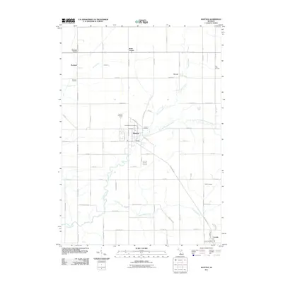
 2011 Casnovia2011 Print · USGSCovers Casnovia Township, including Casnovia, Kent City, and other nearby areas
 - 2011 Map of Bridgeton, 2011 Print
 2011 Bridgeton2011 Print · USGSCovers Casnovia Township, including Bridgeton, Ashland Township, and other nearby areas
 - 2011 Map of Grant, 2011 Print
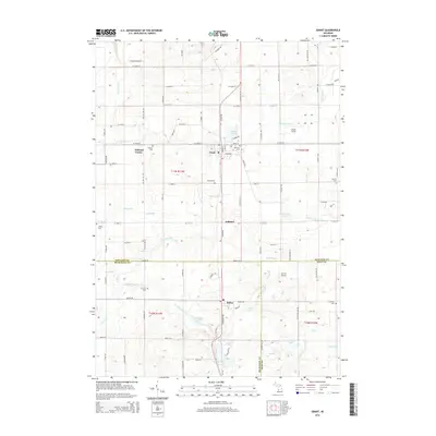
 2011 Grant2011 Print · USGSCovers Casnovia Township, including Ashland, Grant, and other nearby areas
 - 2014 Map of Ravenna, 2014 Print
 2014 Ravenna2014 Print · USGSCovers Casnovia Township, including Moorland, Ravenna, and other nearby areas
 - 2014 Map of Grant, 2014 Print
 2014 Grant2014 Print · USGSCovers Casnovia Township, including Ashland, Grant, and other nearby areas
 - 2014 Map of Bridgeton, 2014 Print
 2014 Bridgeton2014 Print · USGSCovers Casnovia Township, including Bridgeton, Ashland Township, and other nearby areas
 - 2014 Map of Casnovia, 2014 Print
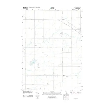
 2014 Casnovia2014 Print · USGSCovers Casnovia Township, including Casnovia, Kent City, and other nearby areas
 - 2017 Map of Ravenna, 2017 Print
 2017 Ravenna2017 Print · USGSCovers Casnovia Township, including Moorland, Ravenna, and other nearby areas
 - 2017 Map of Grant, 2017 Print
 2017 Grant2017 Print · USGSCovers Casnovia Township, including Ashland, Grant, and other nearby areas
 - 2017 Map of Bridgeton, 2017 Print
 2017 Bridgeton2017 Print · USGSCovers Casnovia Township, including Bridgeton, Ashland Township, and other nearby areas
 - 2017 Map of Casnovia, 2017 Print
 2017 Casnovia2017 Print · USGSCovers Casnovia Township, including Casnovia, Kent City, and other nearby areas
 - 2019 Map of Grant, 2019 Print
 2019 Grant2019 Print · USGSCovers Casnovia Township, including Ashland, Grant, and other nearby areas
Showing maps 1-25 of 32
Top cities near Casnovia Township
- Grand Rapids historical maps
- Plainfield Charter Township historical maps
- Walker historical maps
- Alpine Township historical maps
- Fremont historical maps
- Coopersville historical maps
See more
Top neighborhoods of Casnovia Township
Frequently asked questions
- What are the different types of historical maps available for Casnovia Township?
- What is the oldest map of Casnovia Township?
- Where can I purchase historical maps of Casnovia Township for my home or office?
- Where can I download high-res historical maps of Casnovia Township?
- Are there historical topographic maps available for Casnovia Township?
- Is there historical aerial imagery available for Casnovia Township?
- Where are historical maps of Casnovia Township sourced from?