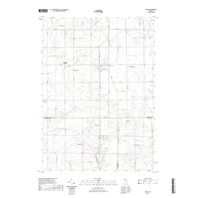
2019 Map of Grant
USGS Topo · Published 2019About this map
Grant stands as the primary hub in this portion of Newaygo County, situated at the intersection of local routes and the north-south corridor of Mason Drive. The landscape is a network of small agricultural holdings and scattered rural settlements, including Ashland Center to the west and Bailey along the southern border. The area is defined by its water management and drainage systems, such as Hansen Drain and Wheeler Drain, which support the low-lying terrain surrounding Blanch Lake and Skipperville Lake.
Find a feature on this map
96 named features on this map. Tap any name to fly to it.
Don’t see what you’re looking for? This feature index may not catch every label — zoom into the map to look around manually.
Map Details
Editions of this 2019 Grant Map
This is the sole edition of this map. No revisions or reprints were ever made.
Other maps of this area

1918 · Cedar Springs
USGS Topo · 1:62,500

1943 · Cedar Springs
USGS Topo · 1:62,500

1945 · Ravenna
USGS Topo · 1:62,500

1954 · Midland
USGS Topo · 1:250,000

1958 · Midland
USGS Topo · 1:250,000

1958 · Sand Lake
USGS Topo · 1:62,500

1958 · Fremont
USGS Topo · 1:62,500

1959 · Midland
USGS Topo · 1:250,000

1966 · Midland
USGS Topo · 1:250,000

1967 · Sparta
USGS Topo · 1:24,000