
1959 Map of Midland
USGS Topo · Published 1959About this map
Grand Rapids serves as the southern anchor for this mid-century survey of the Michigan interior, where the growing industrial centers of Midland and Saginaw meet a landscape of extensive state and national forests. The map illustrates a transitional era for the region, showing the established rail infrastructure of the Chesapeake and Ohio and Ann Arbor RR alongside an expanding post-war highway system featuring U.S. 131 and U.S. 10.
Find a feature on this map
105 named features on this map. Tap any name to fly to it.
Don’t see what you’re looking for? This feature index may not catch every label — zoom into the map to look around manually.
Map Details
Editions of this 1959 Midland Map
This is the sole edition of this map. No revisions or reprints were ever made.
Other maps of this area

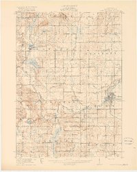
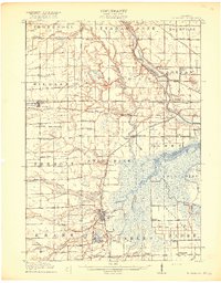
1914 · Grand Rapids
USGS Topo · 1:62,500
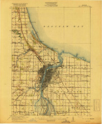
1916 · Bay City
USGS Topo · 1:62,500
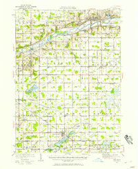
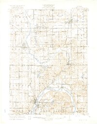
1916 · Mount Pleasant
USGS Topo · 1:62,500
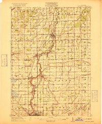
1916 · Ionia
USGS Topo · 1:62,500
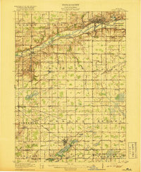
1917 · Chesaning
USGS Topo · 1:62,500
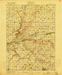
1917 · St. Charles
USGS Topo · 1:62,500
1918 · Cedar Springs
USGS Topo · 1:62,500

1918 · Elsie
USGS Topo · 1:62,500
1918 · Ionia
USGS Topo · 1:62,500
1918 · Perrinton
USGS Topo · 1:62,500