
1914 Map of Grand Rapids
USGS Topo · Published 1914About this map
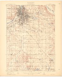
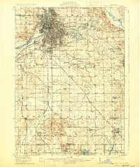
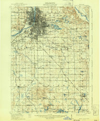
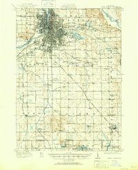
Grand Rapids dominates the northern reaches of this 1914 survey, showcasing a dense urban grid situated along the Grand River just before the rapid industrial expansion of the early 20th century. The surrounding countryside reveals a transitional landscape where early suburbs like Wyoming Park and Beverly emerge near established agricultural communities. The transportation network is particularly dense, featuring the Electric R R and the Grand Rapids and Indiana railroad, which facilitated the movement of goods and people across Kent and Allegan counties.
Find a feature on this map
106 named features on this map. Tap any name to fly to it.
Don’t see what you’re looking for? This feature index may not catch every label — zoom into the map to look around manually.
Map Details
Editions of this 1914 Grand Rapids Map
5 editions found
Other maps of this area

1918 · Cedar Springs
USGS Topo · 1:62,500

1918 · Lowell
USGS Topo · 1:62,500

1943 · Cedar Springs
USGS Topo · 1:62,500

1943 · Grand Rapids
USGS Topo · 1:62,500

1943 · Lowell
USGS Topo · 1:62,500

1945 · Ravenna
USGS Topo · 1:62,500

1951 · Hastings
USGS Topo · 1:62,500

1954 · Midland
USGS Topo · 1:250,000

1958 · Midland
USGS Topo · 1:250,000

1958 · Allegan
USGS Topo · 1:62,500