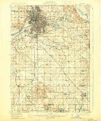
1914 Map of Grand Rapids
USGS Topo · Published 1930About this map
Grand Rapids dominates the upper-left quadrant of this early 20th-century survey, revealing the dense urban core and developing street grid as it expands outward into Wyoming and Paris townships. The Grand River carves a path through the city center, which is anchored by civic features like John Ball Park and the Old Fairground. The industrial and transportation identity of the era is clearly visible through the convergence of major rail lines, including the Grand Rapids and Indiana and the Pere Marquette, which spurred the growth of peripheral settlements such as Beverly, Ivanrest, and Wyoming Park.
Find a feature on this map
105 named features on this map. Tap any name to fly to it.
Don’t see what you’re looking for? This feature index may not catch every label — zoom into the map to look around manually.
Map Details
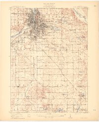
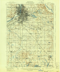
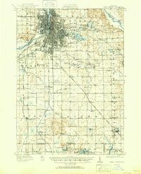
Editions of this 1914 Grand Rapids Map
5 editions found
Other maps of this area

1914 · Grand Rapids
USGS Topo · 1:62,500

1918 · Cedar Springs
USGS Topo · 1:62,500

1918 · Lowell
USGS Topo · 1:62,500

1943 · Cedar Springs
USGS Topo · 1:62,500

1943 · Grand Rapids
USGS Topo · 1:62,500

1943 · Lowell
USGS Topo · 1:62,500

1945 · Ravenna
USGS Topo · 1:62,500

1951 · Hastings
USGS Topo · 1:62,500

1954 · Midland
USGS Topo · 1:250,000

1958 · Midland
USGS Topo · 1:250,000