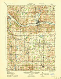
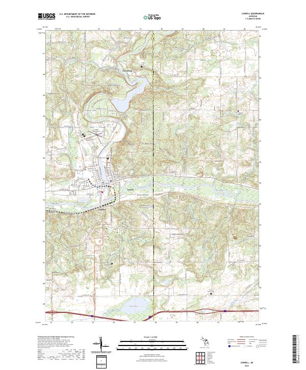
1943 Map of Lowell
USGS Topo · Published 1944About this map
The Grand River and Flat River converge at Lowell, a central hub in this wartime landscape of Kent and Ionia counties. The map captures a high density of rural education, featuring dozens of numbered and named schoolhouses such as Little Brick Sch, West Lowell Sch, and the Snow Sch that once served these farming townships. Industrial and transportation activity is concentrated along the Grand Trunk and Pere Marquette railroads, which link small settlements like Segwun, Alto, and Elmdale. Moving south, the terrain is defined by a dense network of glacial lakes including Morse Lake, Campau Lake, and Cobb Lake, bordered by the winding path of the Thornapple River through Alaska and Labarge. This survey, revised from late-1930s aerial photography, provides a clear view of the pre-interstate road system including U. S. Route 16 and State Route 21.
Find a feature on this map
91 named features on this map. Tap any name to fly to it.
Don’t see what you’re looking for? This feature index may not catch every label — zoom into the map to look around manually.
Map Details
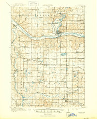
Editions of this 1943 Lowell Map
This is the sole edition of this map. No revisions or reprints were ever made.
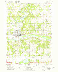
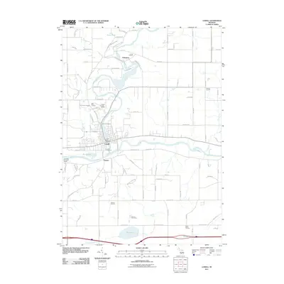
Historical Maps of Cascade Charter Township Through Time
8 maps found
Featured Locations
- Cascade Charter Township, MI
- Vergennes Township, MI
- Lowell, MI
- Lowell Charter Township, MI
- Ada Township, MI