Loading...
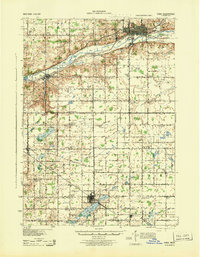
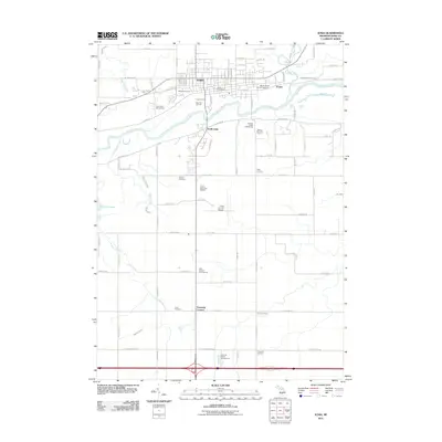
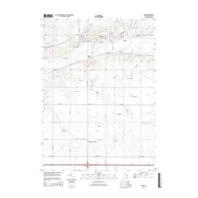
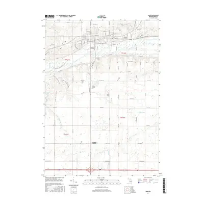
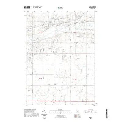
Loading map...1943 Map of Ionia
USGS Topo · Published 1944About this map
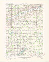
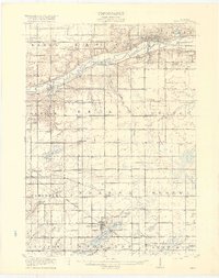
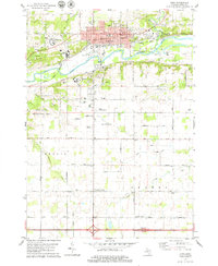
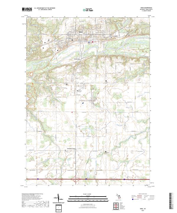
The Grand River meanders across the northern portion of this landscape, anchoring the valley where Ionia and its institutional landmarks like the State Hospital, State Prison, and County Infirmary are situated. This mid-century survey captures an agricultural county at the height of its rural school district system, with dozens of family-named schoolhouses such as Eddy Sch, Kilmartin Sch, and Henderleider Sch dotting the township grids.
Find a feature on this map
69 named features on this map. Tap any name to fly to it.
Don’t see what you’re looking for? This feature index may not catch every label — zoom into the map to look around manually.
Map Details
Date Portrayed1943
Date Published1944
PublisherU.S. Geological Survey
Map TypeTopographic
Scale1:62,500
Physical Dimensions17 x 21.8 inches
Editions of this 1943 Ionia Map
This is the sole edition of this map. No revisions or reprints were ever made.
Historical Maps of Ionia Through Time
9 maps found
Featured Locations
- Ionia, MI
- Clarksville, Campbell Township
- Lake Odessa, Odessa Township
- Sunfield, Sunfield Township
- Saranac, Boston Township
Source Details
SourceU.S. Geological Survey
CopyrightPublic Domain