
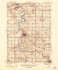
1945 Map of Portland
USGS Topo · Published 1946About this map
The Grand River and Lookingglass River converge at Portland, creating a landscape defined by hydraulic power and winding river bends. In the mid-1940s, this region of Ionia, Clinton, and Eaton counties was a densely populated agricultural grid, evidenced by the remarkable concentration of rural schoolhouses such as Hamlin Sch, Howell Sch, and McKim Sch. The rivers were actively managed for power, shown by the Wagar Dam and Weber Dam north of Portland. The presence of the Clinton and Ionia Canal and the Pere Marquette railway line underscores the importance of this corridor for regional transport and transit. Smaller crossroads like Sebewa Corners and Kent Corners provided local hubs between larger village centers like Lyons, Muir, and Mulliken.
Find a feature on this map
107 named features on this map. Tap any name to fly to it.
Don’t see what you’re looking for? This feature index may not catch every label — zoom into the map to look around manually.
Map Details
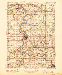
Editions of this 1945 Portland Map
3 editions found
Other maps of this area

1910 · Lansing
USGS Topo · 1:62,500

1912 · Lansing
USGS Topo · 1:62,500

1916 · Ionia
USGS Topo · 1:62,500

1918 · Ionia
USGS Topo · 1:62,500

1918 · Perrinton
USGS Topo · 1:62,500

1927 · De Witt
USGS Topo · 1:62,500

1943 · Perrinton
USGS Topo · 1:62,500

1943 · Ionia
USGS Topo · 1:62,500

1949 · Charlotte
USGS Topo · 1:62,500

1950 · Nashville
USGS Topo · 1:62,500