Old Maps of Lyons, Michigan
Explore 11 old maps of Lyons, spanning from 1945 to today. These high-resolution historic maps reveal how streets, neighborhoods, landmarks, and natural features evolved over time — perfect for genealogy, metal detecting, research, and local history exploration.
What you can do with these maps:
- See how Lyons changed over time: Compare historical maps to modern-day views to trace roads, homesites, rail lines & more.
- View detailed metadata: Each map includes creators, publishers, year, scale, and archive source.
- Overlay maps with satellite & LiDAR: Visualize the past alongside modern tools to explore terrain & human change.
- Trusted historical sources: Maps sourced from the USGS, Library of Congress, and other archives.
- Access maps your way: View online, download high-res files, or order prints for personal or research use.
Start exploring old maps of Lyons to uncover forgotten places, hidden landmarks, and the deep history beneath your feet.
Lyons, MI maps
(11)- 1945 Map of Portland, 1946 Print
 1945 Portland1946 Print · USGSCentral Michigan river valleys thrive in the 1940s as agricultural and transit hubs. Genealogists can locate dozens of family-named schoolhouses and cemeteries like Eagle Cem, while tracing the Pere Marquette rail line and Wagar Dam.3 unique versions available
 - 1958 Map of Grand Rapids, 1973 Print
 1958 Grand Rapids1973 Print · USGSSouthern Michigan at the peak of the postwar era shows a landscape of burgeoning cities and new interstate highways. Trace family roots and regional growth in Grand Rapids, Battle Creek, and the glacial lake country around Gun Lake or Gull Lake.2 unique versions available
 - 1961 Map of Grand Rapids
 1961 Grand Rapids1961 Print · USGSSouthern Michigan at the dawn of the 1960s reveals a region shaped by major river systems and a robust rail network. Trace mid-century industrial growth and land use from Grand Rapids to the Fort Custer Military Reservation and Gun Lake.
 - 1962 Map of Grand Rapids
 1962 Grand Rapids1962 Print · USGSMid-century Southern Michigan is mapped here at a time of massive growth, showing the expanding urban footprints of Grand Rapids and Lansing. Researchers can trace the legacy of the Grand Trunk Western RR, find historic boundaries of the Fort Custer Military Reservation, or locate sporting camps around Gun Lake.2 unique versions available
 - 1978 Map of Portland North, 1979 Print
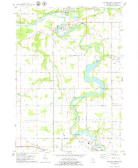 1978 Portland North1979 Print · USGSIonia County at the height of the 1970s shows a landscape defined by the convergence of the Grand River and Maple River. You can trace the industrial footprint of Muir, Lyons, and Portland through old rail grades, the Webber Dam, and the Keefer Cem.
 - 1983 Map of Lansing, 1984 Print
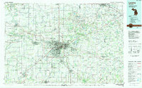 1983 Lansing1984 Print · USGSThe Lansing area and its surrounding river valleys are captured here in the early eighties. Genealogists and historians can trace the rail corridors of the Conrail or locate local landmarks like St Johns Ch and Greenwood Cem.
 - 2011 Map of Portland North, 2011 Print
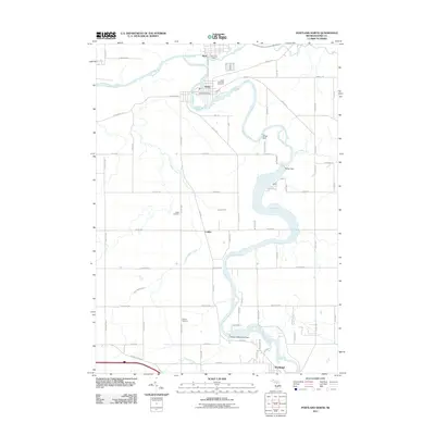 2011 Portland North2011 Print · USGSThe river villages of Ionia County are captured here in the early twenty-first century as the Grand River snakes through the heart of the region. Researchers can locate family heritage sites like the Lyons Township Cemetery and the industrial infrastructure of the Weber Dam.
 - 2014 Map of Portland North, 2014 Print
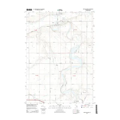 2014 Portland North2014 Print · USGSIonia County at the start of the 21st century remains defined by the winding Grand River and its historic river towns. Genealogists can trace family heritage through sites like Lyons Township Cem, Keefer Cem, and the solitary Brown Grave.
 - 2017 Map of Portland North, 2017 Print
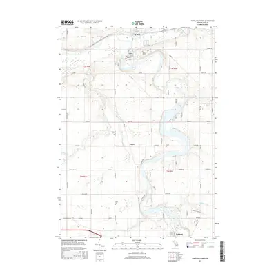 2017 Portland North2017 Print · USGSIonia County’s river valleys are shown here in the 2010s, where the convergence of major waterways shaped local settlement patterns. Genealogists and historians can locate rural landmarks like Lyons Township Cem and the unique Brown Grave near the Grand River.
 - 2019 Map of Portland North, 2019 Print
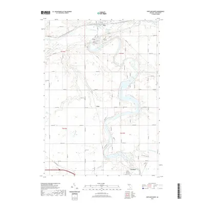 2019 Portland North2019 Print · USGSIonia County at the end of the 2010s shows a landscape defined by the winding Grand River and its rail-to-trail conversion. Researchers can locate local landmarks like Lyons Township Cem, the isolated Brown Grave, and the historic village of Muir.
 - 2023 Map of Portland North, 2023 Print
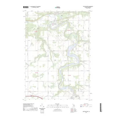 2023 Portland North2023 Print · USGSIonia County's river valleys come alive in the 2020s, showing the enduring layouts of Muir, Lyons, and Portland along the water. Researchers can locate family heritage sites at Lyons Township Cemetery or trace the historic Union Burial Ground and Keefer Cemetery.
End of results
Showing maps 1-11 of 11
Top cities near Lyons
- Ionia historical maps
- Grand Ledge historical maps
- Portland historical maps
- Orleans historical maps
- Lake Odessa historical maps
- Carson City historical maps
See more
Frequently asked questions
- What are the different types of historical maps available for Lyons?
- What is the oldest map of Lyons?
- Where can I purchase historical maps of Lyons for my home or office?
- Where can I download high-res historical maps of Lyons?
- Are there historical topographic maps available for Lyons?
- Is there historical aerial imagery available for Lyons?
- Where are historical maps of Lyons sourced from?