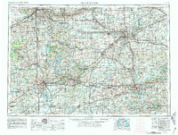
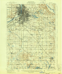
1914 Map of Grand Rapids
USGS Topo · Published 1914About this map
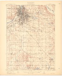
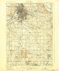
Grand Rapids serves as the industrial and transportation anchor of this Kent County landscape, where the Grand River bends through a dense grid of streets and rail yards. The surrounding townships of Wyoming, Paris, and Byron reveal a transition from urban development to a rural network of schoolhouses and family-named landmarks. Rail infrastructure is particularly prominent, with the Pere Marquette R R, Michigan Central R R, and the Electric R R connecting outlying settlements like Byron Center and Caledonia to the city core. Local industries and public institutions are clearly marked, including the Plaster works along Plaster Creek, the Old Fairground, and the County Farm. For genealogists, the map provides a high density of rural school locations, such as Walker Center School and French Street School, alongside established cemeteries and early post offices like Crosby PO.
Find a feature on this map
103 named features on this map. Tap any name to fly to it.
Don’t see what you’re looking for? This feature index may not catch every label — zoom into the map to look around manually.
Map Details
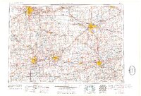
Editions of this 1914 Grand Rapids Map
5 editions found

Historical Maps of Grand Rapids Through Time
6 maps found