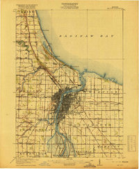
1916 Map of Bay City
USGS Topo · Published 1916About this map
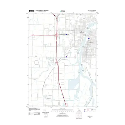
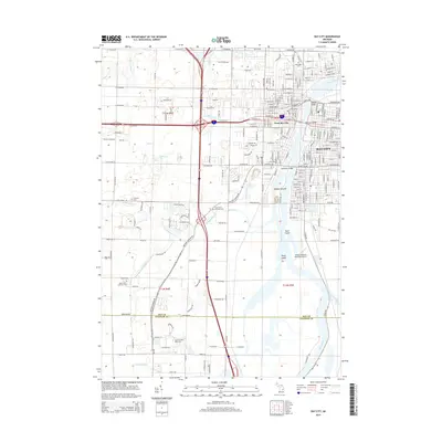
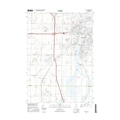
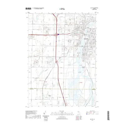
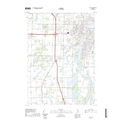
Bay City serves as the industrial and transit hub of this 1916 survey, dominated by the heavy commerce of the Saginaw River and a dense network of competing rail lines. The city's grid expands southward from Saginaw Bay, while the surrounding townships like Monitor, Hampton, and Frankenlust show a landscape transition from urban docks to agricultural section lines. This era captures the height of the region's rail-and-water economy, with the Michigan Central, Pere Marquette, and Grand Trunk railroads all converging on the riverfront. Along the western shore, summer resort life is visible at Linwood Park and Wenona Beach, while inland, dozens of rural schoolhouses like Sugar School and Hausbeck School anchor small farming communities. Unique drainage features such as the Klavss Drain and Hilderbrant Drain reveal the extensive efforts to manage the low-lying terrain near the bay for development and agriculture.
Find a feature on this map
63 named features on this map. Tap any name to fly to it.
Don’t see what you’re looking for? This feature index may not catch every label — zoom into the map to look around manually.
Map Details
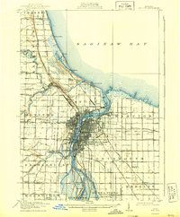
Editions of this 1916 Bay City Map
This is the sole edition of this map. No revisions or reprints were ever made.
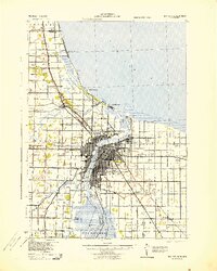
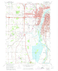
Historical Maps of Bay City Through Time
10 maps found

Featured Locations
- Bay City, MI
- Essexville, MI
- Linwood, Fraser Township
- Kochville, Kochville Township
- Kawkawlin, Monitor Township