
1954 Map of Flint
USGS Topo · Published 1968About this map
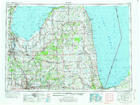
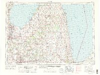
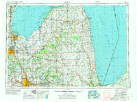
The industrial and agricultural heart of Michigan's Thumb region is captured here during the mid-1950s, showing the major urban centers of Flint, Saginaw, and Bay City before the full expansion of the modern interstate system. These cities, clustered near the base of Saginaw Bay, were supported by a dense network of railroads including the Grand Trunk and Chesapeake and Ohio lines. The map illustrates the era's reliance on both the river systems, such as the Flint River and Cass River, and the heavy maritime traffic of Lake Huron.
Find a feature on this map
110 named features on this map. Tap any name to fly to it.
Don’t see what you’re looking for? This feature index may not catch every label — zoom into the map to look around manually.
Map Details
Editions of this 1954 Flint Map
4 editions found
Other maps of this area

1912 · Port Huron
USGS Topo · 1:62,500

1914 · Armada
USGS Topo · 1:62,500

1916 · Bay City
USGS Topo · 1:62,500

1917 · Chesaning
USGS Topo · 1:62,500

1917 · St. Charles
USGS Topo · 1:62,500

1919 · Bay City
USGS Topo · 1:62,500

1919 · Saginaw
USGS Topo · 1:62,500

1919 · Burt
USGS Topo · 1:62,500

1920 · Flint
USGS Topo · 1:62,500

1920 · Holly
USGS Topo · 1:62,500