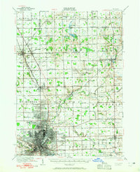
1990 Map of Flint
USGS Topo · Published 1991About this map
Industrial growth and agricultural reaches converge in this regional overview, centered on the urban core of Flint and extending toward the Saginaw River in the northwest. In the early 1990s, the landscape reveals a dense network of transit and industry, with the Grand Trunk Western RR and Chesapeake & Ohio RR providing critical rail infrastructure alongside modern corridors like I-75. The map documents the sprawling residential and commercial footprint of Mount Morris, Beecher, and Burton, while also highlighting the vital recreational and conservation land nearby, such as the Genesee Recreation Area and the Murphy Lake State Game Area. Farther east, the rural character of Lapeer CO is evident, marked by the waters of the Holloway Reservoir and Lake Nepessing. This survey captures the transition from the heavy manufacturing hubs of the Flint River valley to the small-town agricultural centers of North Branch and Imlay City.
Find a feature on this map
93 named features on this map. Tap any name to fly to it.
Don’t see what you’re looking for? This feature index may not catch every label — zoom into the map to look around manually.
Map Details
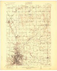
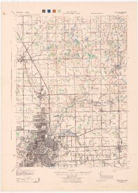
Editions of this 1990 Flint Map
This is the sole edition of this map. No revisions or reprints were ever made.
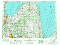
Historical Maps of Flint Through Time
7 maps found