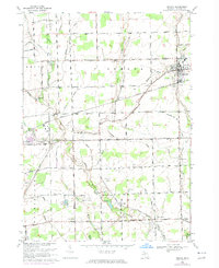
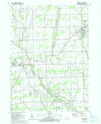
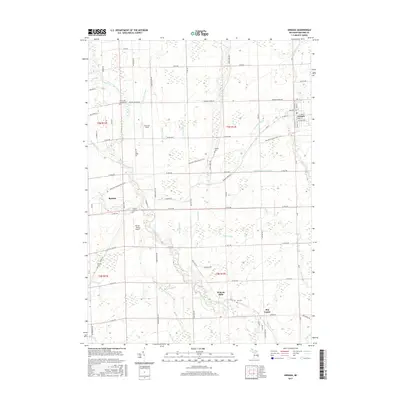
1914 Map of Armada
USGS Topo · Published 1914About this map
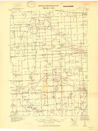
Belle River and its complex network of managed drainage, including March Drain and Adams Drain, define the agricultural landscape of Macomb and St. Clair Counties. Surveyed for military use by the Corps of Engineers, this reconnaissance reveals a region transitioning from rural crossroad settlements like Sullicks Corners and Berville to more established railroad hubs. The Grand Trunk R. R. and Pere Marquette R. R. cut through the territory, supporting the growth of Armada, Memphis, and Richmond. Local industry and community life are grounded in landmarks such as Wolcotts Mill Pond and numerous schoolhouses, while the Gratiot Turnpike serves as a primary artery along the southeastern edge. Distinctive military notations include a Camp Site and Regt. Camp Site, reflecting the map's origin as a progressive military study during the early twentieth century.
Find a feature on this map
50 named features on this map. Tap any name to fly to it.
Don’t see what you’re looking for? This feature index may not catch every label — zoom into the map to look around manually.
Map Details
Editions of this 1914 Armada Map
This is the sole edition of this map. No revisions or reprints were ever made.
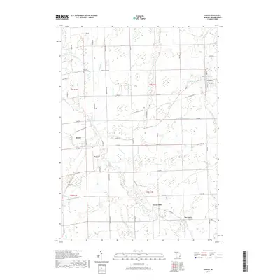
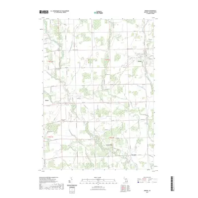
Historical Maps of Washington Charter Township Through Time
11 maps found
1914 Armada
Macomb County, MI
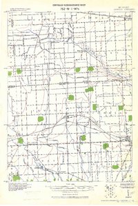
1928 Armada
Macomb County, MI
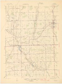
1945 Armada
Macomb County, MI
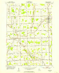
1952 Armada
Macomb County, MI
1968 Armada
Macomb County, MI
1991 Armada
Macomb County, MI
2011 Armada
Macomb County, MI
2014 Armada
Macomb County, MI
2017 Armada
Macomb County, MI
2019 Armada
Macomb County, MI
2023 Armada
Macomb County, MI