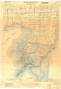
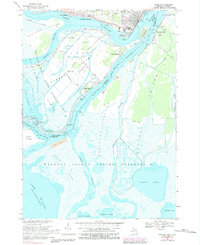
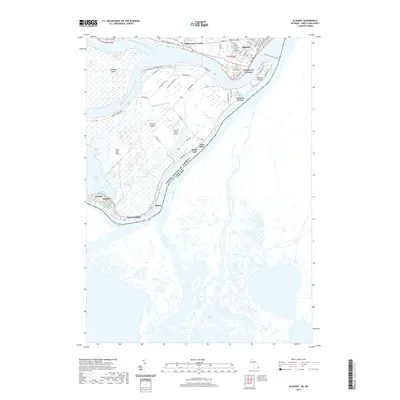
1914 Map of Algonac
USGS Topo · Published 1914About this map
Harsens Isl. and the complex wetlands of the St. Clair River delta dominate this 1914 military reconnaissance sheet. This area, known for its intricate water channels like Chenal a Bout Rond and the North Channel, was a hub for maritime activity and recreational clubs at the dawn of the twentieth century. The map highlights social and industrial landmarks including the Canada Club, The Old Club, and the Walton Salt Assn near Pearl Beach.
Find a feature on this map
85 named features on this map. Tap any name to fly to it.
Don’t see what you’re looking for? This feature index may not catch every label — zoom into the map to look around manually.
Map Details
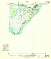
Editions of this 1914 Algonac Map
This is the sole edition of this map. No revisions or reprints were ever made.
Historical Maps of Chesterfield Township Through Time
10 maps found
1914 Algonac
St. Clair County, MI
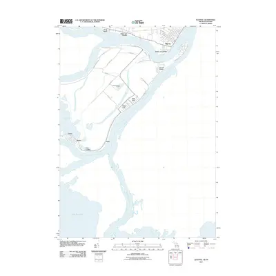
1936 Algonac
St. Clair County, MI
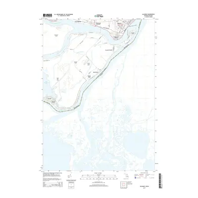
1939 Algonac
St. Clair County, MI
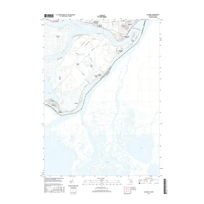
1952 Algonac
St. Clair County, MI
1968 Algonac
St. Clair County, MI
2011 Algonac
St. Clair County, MI
2014 Algonac
St. Clair County, MI
2017 Algonac
St. Clair County, MI
2019 Algonac
St. Clair County, MI
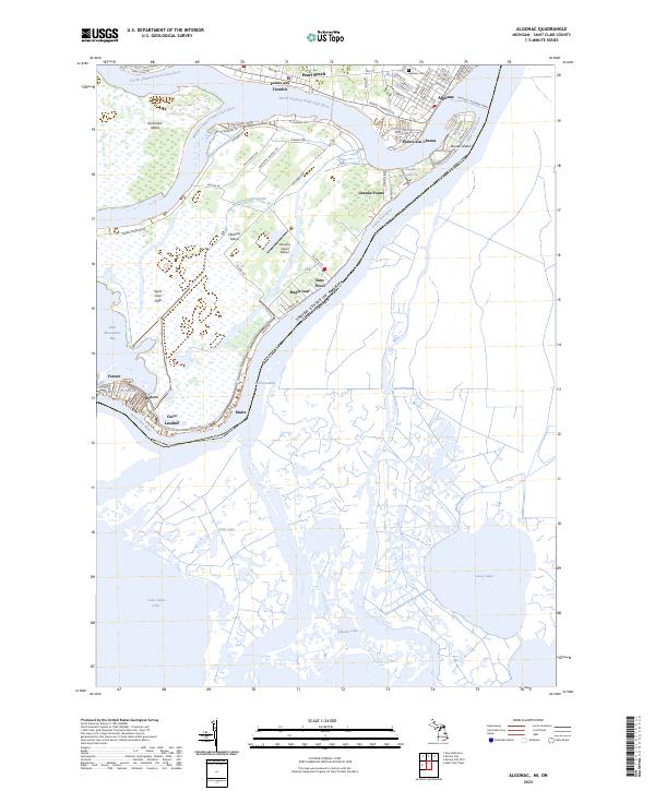
2023 Algonac
St. Clair County, MI