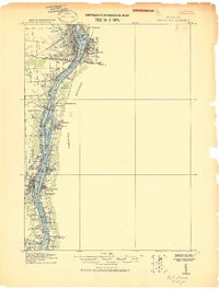
1912 Map of Port Huron
USGS Topo · Published 1912About this map
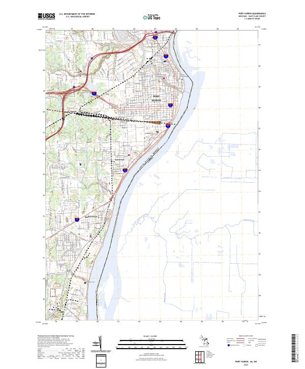
The St. Clair River serves as the dominant corridor of this pre-war military reconnaissance, separating the bustling rail hubs of Port Huron and Sarnia. On the Michigan side, the landscape is defined by its industrial and administrative infrastructure, including the U.S. Customhouse and the Pere Marquette Ry. yards. To the south, a string of riverfront settlements and railroad stops like Marysville, South Park, and Recors indicate a region shaped by both maritime transit and overland trade.
Find a feature on this map
38 named features on this map. Tap any name to fly to it.
Don’t see what you’re looking for? This feature index may not catch every label — zoom into the map to look around manually.
Map Details
Editions of this 1912 Port Huron Map
This is the sole edition of this map. No revisions or reprints were ever made.
Historical Maps of Saint Clair Through Time
12 maps found
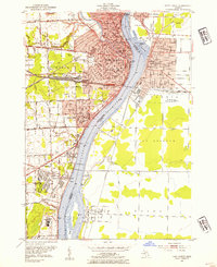
1912 Port Huron
St. Clair County, MI
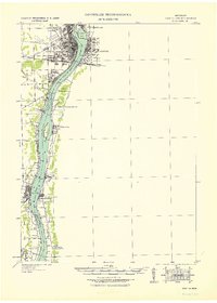
1929 Port Huron
St. Clair County, MI
1939 Port Huron
St. Clair County, MI
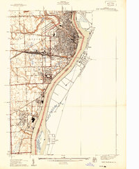
1949 Port Huron
St. Clair County, MI
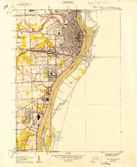
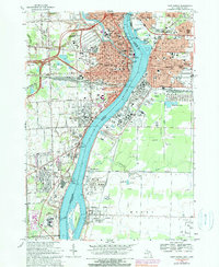
1952 Port Huron
St. Clair County, MI
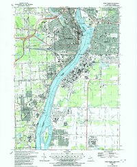
1968 Port Huron
St. Clair County, MI
1991 Port Huron
St. Clair County, MI
2011 Port Huron
St. Clair County, MI
2014 Port Huron
St. Clair County, MI

2017 Port Huron
St. Clair County, MI
2019 Port Huron
St. Clair County, MI
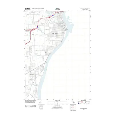
2023 Port Huron
St. Clair County, MI