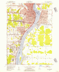
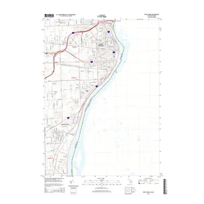
1949 Map of Port Huron
USGS Topo · Published 1949About this map
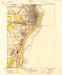
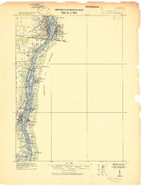
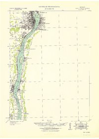
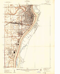
The St Clair River corridor serves as the industrial and international backbone of this 1949 study, marking the border between the United States and Canada. The city of Port Huron is shown in significant detail, with its dense street grid extending toward the Black River and the international Tunnel crossing. Downriver, the growing industrial footprint of Marysville sits opposite Stag Island, connected to the regional economy by the Port Huron and Detroit and Grand Trunk Western railroads.
Find a feature on this map
34 named features on this map. Tap any name to fly to it.
Don’t see what you’re looking for? This feature index may not catch every label — zoom into the map to look around manually.
Map Details
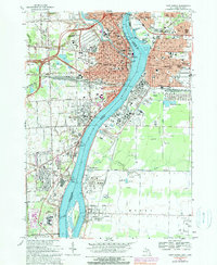
Editions of this 1949 Port Huron Map
This is the sole edition of this map. No revisions or reprints were ever made.
Historical Maps of Marysville Through Time
12 maps found
1912 Port Huron
St. Clair County, MI
1929 Port Huron
St. Clair County, MI
1939 Port Huron
St. Clair County, MI
1949 Port Huron
St. Clair County, MI
1952 Port Huron
St. Clair County, MI
1968 Port Huron
St. Clair County, MI
1991 Port Huron
St. Clair County, MI
2011 Port Huron
St. Clair County, MI
2014 Port Huron
St. Clair County, MI

2017 Port Huron
St. Clair County, MI
2019 Port Huron
St. Clair County, MI
2023 Port Huron
St. Clair County, MI