
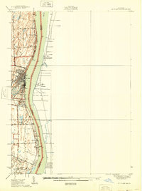
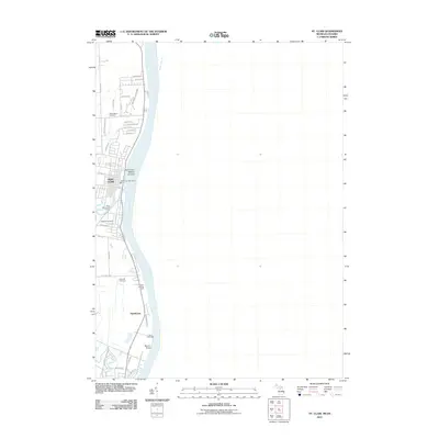
1936 Map of St. Clair
USGS Topo · Published 1936About this map
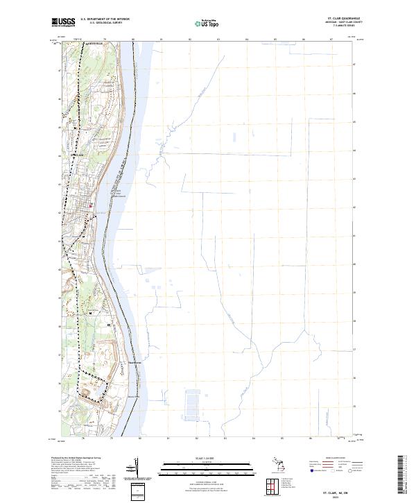
The St Clair River corridor in the mid-1930s reveals a landscape defined by its international border and the convergence of rail and water transport. Stretching from St Clair south toward Hawthorne, the shoreline shows a distinct pattern of development including the St Clair River Country Club and the Pine Shore Golf Course. The Detroit and Port Huron State Hy parallels the river, anchoring a network of rural roads like Puttygut Rd and Recor Rd that connect the interior farmsteads. Local education and faith are deeply rooted in the landscape, evidenced by the St Marys Ch and several rural schoolhouses including the Red Brick Sch, Hathaway Sch, and North Sch. The map also captures the industrial and natural character of the river, with the Pine River and Belle River feeding into the main channel near Stag Island.
Find a feature on this map
36 named features on this map. Tap any name to fly to it.
Don’t see what you’re looking for? This feature index may not catch every label — zoom into the map to look around manually.
Map Details
Editions of this 1936 St. Clair Map
This is the sole edition of this map. No revisions or reprints were ever made.
Historical Maps of Saint Clair Through Time
10 maps found
1936 St. Clair
St. Clair County, MI
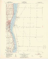
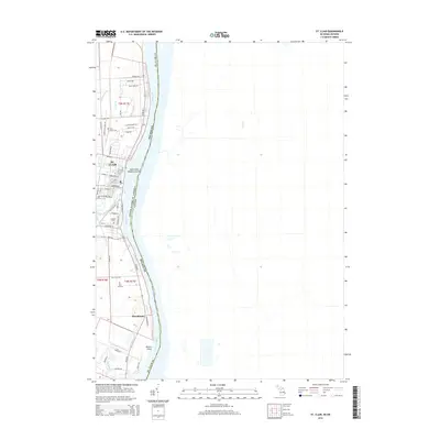
1939 St. Clair
St. Clair County, MI
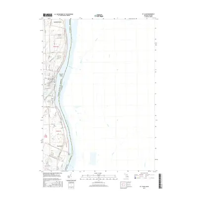
1952 St. Clair
St. Clair County, MI
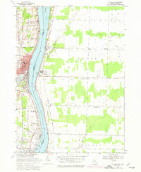
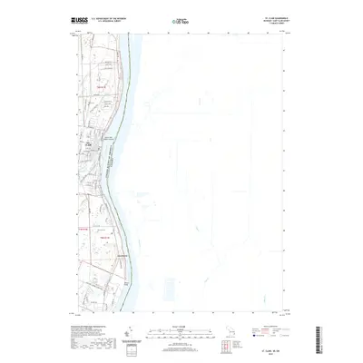
1968 St. Clair
St. Clair County, MI
1991 St. Clair
St. Clair County, MI
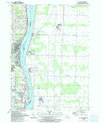
2011 St. Clair
St. Clair County, MI
2014 St. Clair
St. Clair County, MI
2017 St. Clair
St. Clair County, MI
2019 St. Clair
St. Clair County, MI
2023 St. Clair
St. Clair County, MI