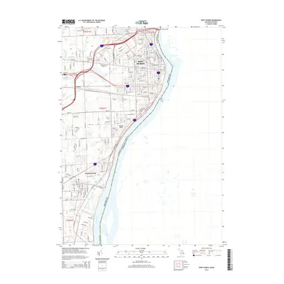
1929 Map of Port Huron
USGS Topo · Published 1929About this map
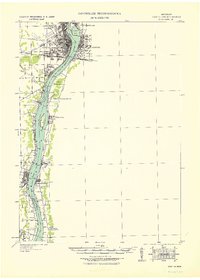
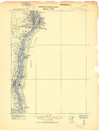
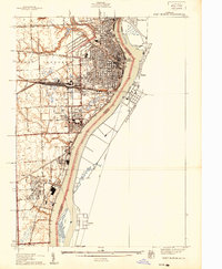
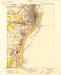
The St Clair River corridor serves as the industrial and international backbone of this 1929 tactical map, showing the dense rail and ferry connections between Port Huron, Michigan, and Sarnia, Ontario. A complex web of transportation infrastructure is evident, including the Grand Trunk railroad lines and the notable Tunnel connecting the two nations beneath the riverbed. Along the western shore, the growth of Marysville and South Park reflects early 20th-century expansion, while smaller stops like Harts Sta and Bemer Road Sta indicate a landscape still tied to local rail service.
Find a feature on this map
45 named features on this map. Tap any name to fly to it.
Don’t see what you’re looking for? This feature index may not catch every label — zoom into the map to look around manually.
Map Details
Editions of this 1929 Port Huron Map
This is the sole edition of this map. No revisions or reprints were ever made.
Historical Maps of Saint Clair Through Time
12 maps found
1912 Port Huron
St. Clair County, MI
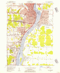
1929 Port Huron
St. Clair County, MI
1939 Port Huron
St. Clair County, MI
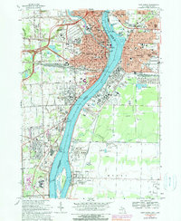
1949 Port Huron
St. Clair County, MI
1952 Port Huron
St. Clair County, MI
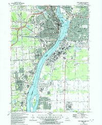
1968 Port Huron
St. Clair County, MI
1991 Port Huron
St. Clair County, MI
2011 Port Huron
St. Clair County, MI
2014 Port Huron
St. Clair County, MI

2017 Port Huron
St. Clair County, MI
2019 Port Huron
St. Clair County, MI
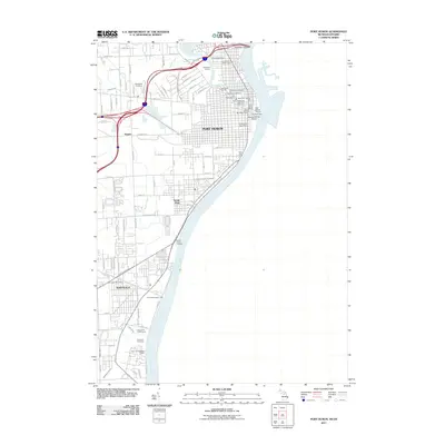
2023 Port Huron
St. Clair County, MI