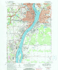
1968 Map of Port Huron
USGS Topo · Published 1990About this map
The St Clair River serves as the focal point for this international boundary area, defining the industrial and social character of both Port Huron and its Canadian neighbor, Sarnia. By the late 1960s, the region was heavily shaped by a massive petrochemical and refining complex, seen in the numerous salt wells and a large refinery south of Sarnia. Transport networks dominate the landscape, from the St Clair Tunnel connecting the Grand Trunk Western and Canadian National railways to the heavy ship traffic suggested by the U S Customs and Canadian Customs stations at Point Edward. Local life is anchored by neighborhood landmarks such as St Stephens Sch and Pine Grove Park, while the southward expansion reaches into residential pockets like Marysville Gardens and the riverfront community of Corunna.
Find a feature on this map
87 named features on this map. Tap any name to fly to it.
Don’t see what you’re looking for? This feature index may not catch every label — zoom into the map to look around manually.
Map Details
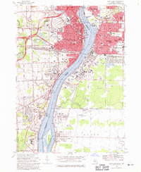
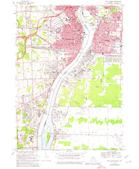
Editions of this 1968 Port Huron Map
3 editions found
Other maps of this area

1912 · Port Huron
USGS Topo · 1:62,500

1928 · Hicky
USGS Topo · 1:62,500

1929 · Port Huron
USGS Topo · 1:62,500

1936 · St. Clair
USGS Topo · 1:31,680

1936 · Rattle Run
USGS Topo · 1:31,680

1939 · Port Huron
USGS Topo · 1:24,000

1939 · St. Clair
USGS Topo · 1:24,000

1939 · Smiths Creek
USGS Topo · 1:24,000

1942 · Rattle Run
USGS Topo · 1:24,000
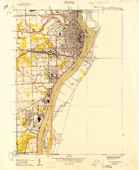
1949 · Port Huron
USGS Topo · 1:24,000