
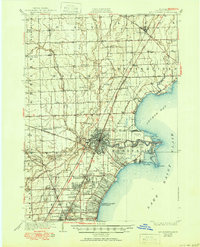
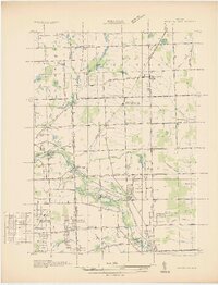
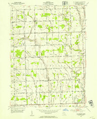
1912 Map of Mt Clemens
USGS Topo · Published 1912About this map
Selfridge Aviation Field stands as a prominent military landmark along the shores of Lake St. Clair on this progressive military sheet. The landscape is defined by the winding course of the Clinton River and its North Branch, which meet near the heart of Mt. Clemens. The map reveals an industrial and recreational economy in transition, featuring the Macomb Sugar Factory alongside shoreline attractions like Hotel Denmarsh and the Sweet Club Ho. near Belvidere Bay.
Find a feature on this map
50 named features on this map. Tap any name to fly to it.
Don’t see what you’re looking for? This feature index may not catch every label — zoom into the map to look around manually.
Map Details
Editions of this 1912 Mt Clemens Map
This is the sole edition of this map. No revisions or reprints were ever made.
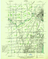
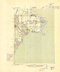
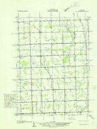
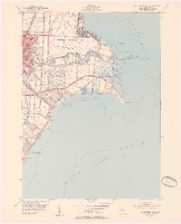
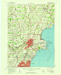
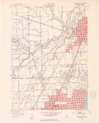
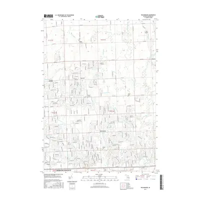
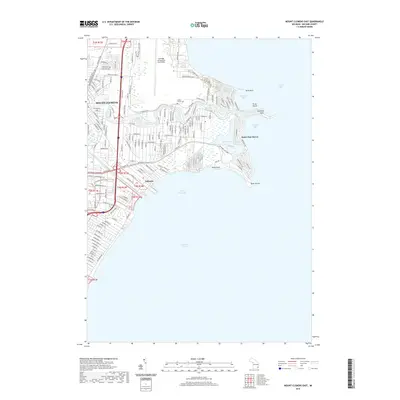
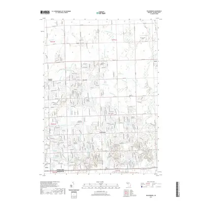
Historical Maps of Sterling Heights Through Time
28 maps found
1912 Mt Clemens
Macomb County, MI
1929 Mt Clemens
Macomb County, MI
1936 Mt Clemens
Macomb County, MI
1936 Selfridge Field
Macomb County, MI
1936 Waldenburg
Macomb County, MI
1936 Washington
Macomb County, MI
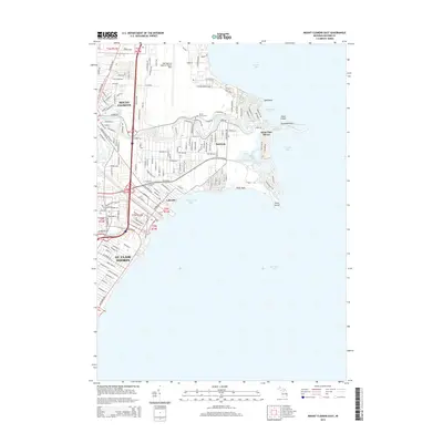
1952 Mt Clemens East
Macomb County, MI
1952 Mt Clemens
Macomb County, MI
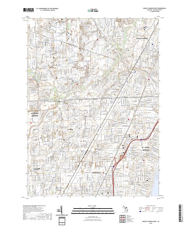
1952 Mt Clemens West
Macomb County, MI
1952 Waldenburg
Macomb County, MI
1968 Mt Clemens East
Macomb County, MI
1968 Mt Clemens West
Macomb County, MI
1968 Waldenburg
Macomb County, MI
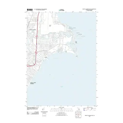
2011 Mount Clemens East
Macomb County, MI
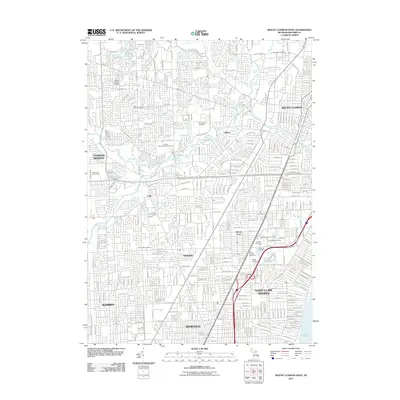
2011 Mount Clemens West
Macomb County, MI
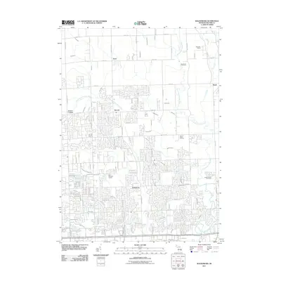
2011 Waldenburg
Macomb County, MI
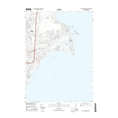
2014 Mount Clemens East
Macomb County, MI
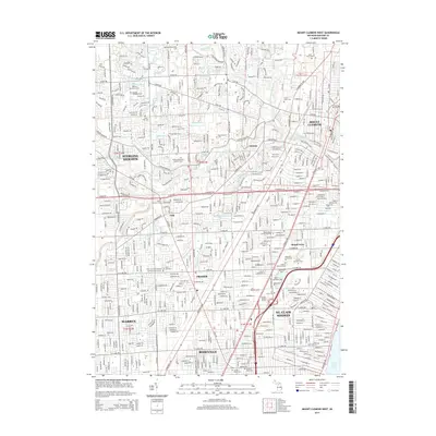
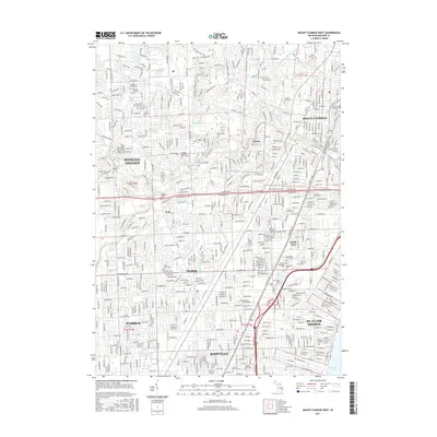
2014 Mount Clemens West
Macomb County, MI
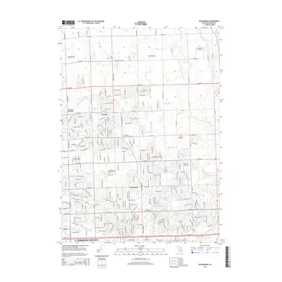
2014 Waldenburg
Macomb County, MI
2017 Mount Clemens East
Macomb County, MI
2017 Mount Clemens West
Macomb County, MI
2017 Waldenburg
Macomb County, MI
2019 Mount Clemens East
Macomb County, MI

2019 Mount Clemens West
Macomb County, MI
2019 Waldenburg
Macomb County, MI
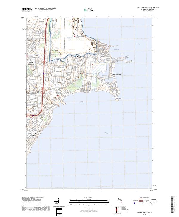
2023 Mount Clemens East
Macomb County, MI
2023 Mount Clemens West
Macomb County, MI
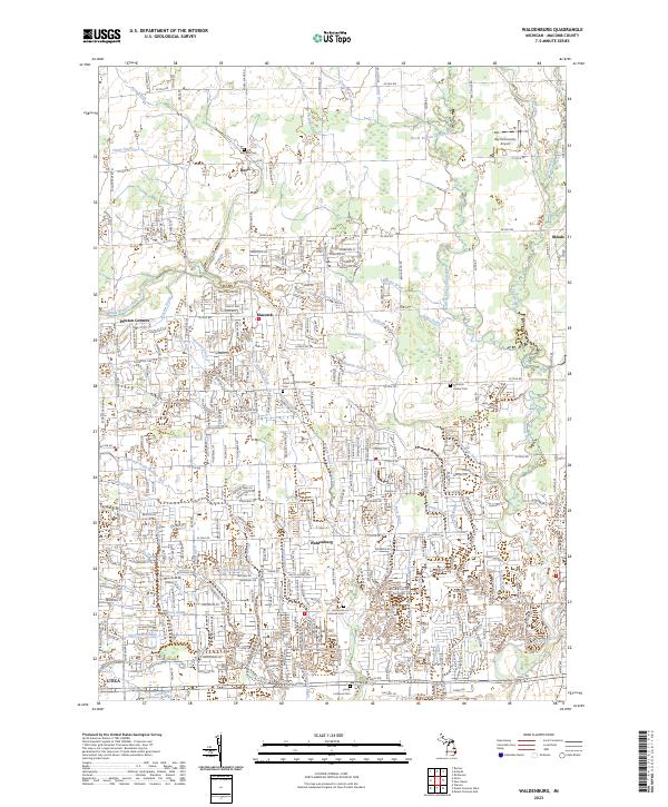
2023 Waldenburg
Macomb County, MI