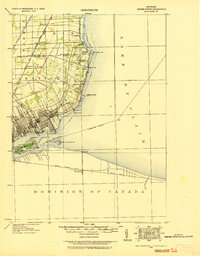
1918 Map of Grosse Pointe
USGS Topo · Published 1918About this map
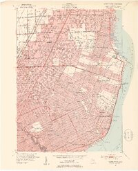
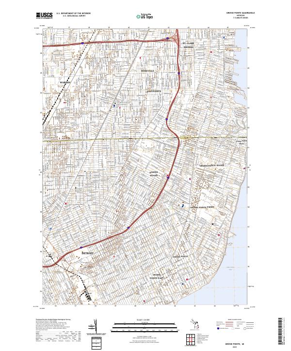
Lake St Clair and the Detroit River define this 1918 topographical survey, capturing the transition from Detroit's expanding urban edge into the lakeside estates and rural townships of the early twentieth century. The map highlights a complex transportation network where the Grand Trunk R R and the Detroit and Port Huron Electric Line parallel the shoreline, connecting settlements like Roseville, Halfway, and Labadies. Along the water, the development of the Grosse Pointes is evident, with landmarks such as the Country Club Ho, Municipal Pier, and the Grosse Pointe Water Works Intake Pipe Lt noted. The international border is clearly marked through the river, separating Michigan from the Dominion of Canada and the community of Tecumseh. Detailed ribbon farms and early street grids are visible near St Clair Heights and Trombley, while the lower portion of the map includes the manicured grounds of Belle Isle Park.
Find a feature on this map
46 named features on this map. Tap any name to fly to it.
Don’t see what you’re looking for? This feature index may not catch every label — zoom into the map to look around manually.
Map Details
Editions of this 1918 Grosse Pointe Map
This is the sole edition of this map. No revisions or reprints were ever made.
Historical Maps of Detroit Through Time
11 maps found
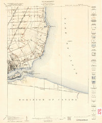
1905 Grosse Pointe
Wayne County, MI
1918 Grosse Pointe
Wayne County, MI
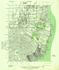
1936 Grosse Pointe
Wayne County, MI
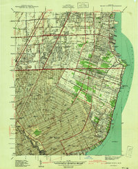
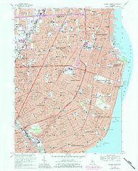
1940 Grosse Pointe
Wayne County, MI
1952 Grosse Pointe
Wayne County, MI
1968 Grosse Pointe
Wayne County, MI
2011 Grosse Pointe
Wayne County, MI
2014 Grosse Pointe
Wayne County, MI
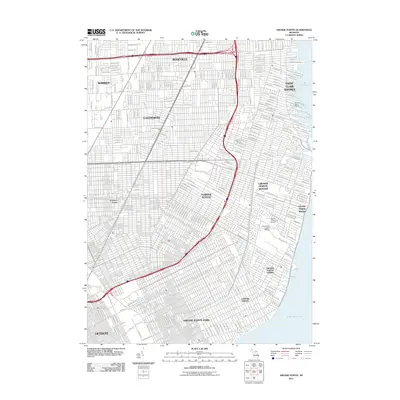
2017 Grosse Pointe
Wayne County, MI
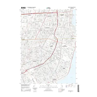
2019 Grosse Pointe
Wayne County, MI
2023 Grosse Pointe
Wayne County, MI