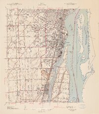
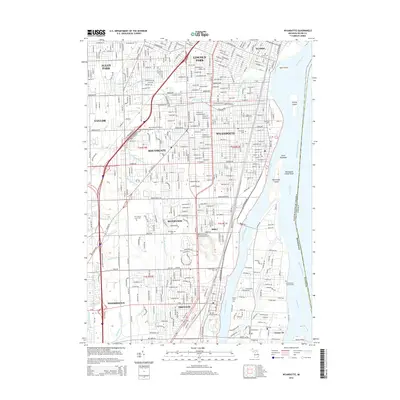
1912 Map of Wyandotte
USGS Topo · Published 1912About this map
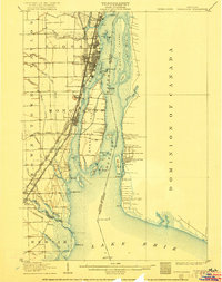
Wyandotte and the industrial riverfront south of Detroit dominate this 1912 military survey, showing a landscape defined by its heavy rail infrastructure and island-studded waters. Major rail lines including the Michigan Central RR and the Detroit United Railway (Shore Line Div) parallel the shoreline, connecting established settlements like Ecorse and Trenton. The intricate archipelago of the Detroit River is mapped in detail, featuring Fighting Island, Grosse Isle, and the Sturgeon Bar near the river's mouth at Lake Erie.
Find a feature on this map
76 named features on this map. Tap any name to fly to it.
Don’t see what you’re looking for? This feature index may not catch every label — zoom into the map to look around manually.
Map Details
Editions of this 1912 Wyandotte Map
This is the sole edition of this map. No revisions or reprints were ever made.
Historical Maps of Taylor Through Time
12 maps found
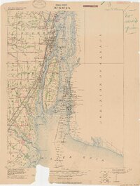
1906 Wyandotte
Wayne County, MI
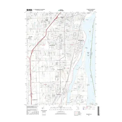
1912 Wyandotte
Wayne County, MI
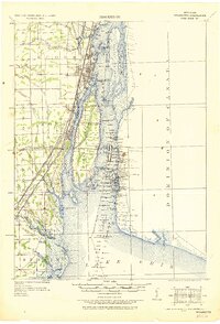
1929 Wyandotte
Wayne County, MI
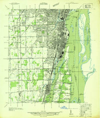
1936 Wyandotte
Wayne County, MI
1942 Wyandotte
Wayne County, MI
1952 Wyandotte
Wayne County, MI
1967 Wyandotte
Wayne County, MI
2011 Wyandotte
Wayne County, MI
2014 Wyandotte
Wayne County, MI
2017 Wyandotte
Wayne County, MI
2019 Wyandotte
Wayne County, MI
2023 Wyandotte
Wayne County, MI