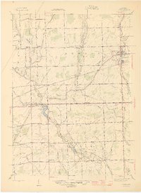
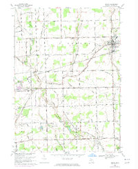
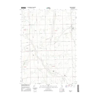
1928 Map of Armada
USGS Topo · Published 1928About this map
Armada serves as the central hub of this northern Macomb County landscape, situated at the junction of the Grand Trunk R. R. and a network of agricultural drainage systems. The survey reflects a period of established township organization, showing the clear boundaries of Berlin, Riley, and Richmond. The drainage of the area is particularly detailed, with the Belle River and its numerous tributaries, such as Doty Drain Cr. and Ferguson Drain, illustrating the engineering required for the region's farming economy.
Find a feature on this map
58 named features on this map. Tap any name to fly to it.
Don’t see what you’re looking for? This feature index may not catch every label — zoom into the map to look around manually.
Map Details
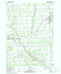
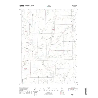
Editions of this 1928 Armada Map
This is the sole edition of this map. No revisions or reprints were ever made.
Historical Maps of Washington Charter Township Through Time
11 maps found
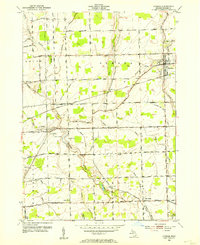
1914 Armada
Macomb County, MI
1928 Armada
Macomb County, MI
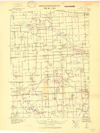
1945 Armada
Macomb County, MI
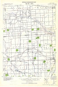
1952 Armada
Macomb County, MI
1968 Armada
Macomb County, MI
1991 Armada
Macomb County, MI
2011 Armada
Macomb County, MI
2014 Armada
Macomb County, MI
2017 Armada
Macomb County, MI
2019 Armada
Macomb County, MI
2023 Armada
Macomb County, MI