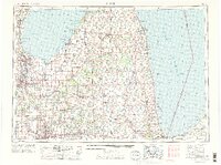
1954 Map of Flint
USGS Topo · Published 1973About this map
The industrialized corridors of eastern Michigan take shape in this early 1970s revision, where the urban hubs of Flint, Saginaw, and Bay City anchor a landscape defined by heavy rail and water transport. Major rail lines, including the Chesapeake and Ohio and Grand Trunk Western, bridge the gap between the manufacturing centers and the vast waters of Lake Huron and Saginaw Bay. This survey captures the region as the interstate system and state highways like M 53 and M 25 were maturing alongside traditional river settlements.
Find a feature on this map
125 named features on this map. Tap any name to fly to it.
Don’t see what you’re looking for? This feature index may not catch every label — zoom into the map to look around manually.
Map Details
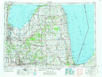
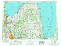
Editions of this 1954 Flint Map
4 editions found

Other maps of this area

1912 · Port Huron
USGS Topo · 1:62,500

1914 · Armada
USGS Topo · 1:62,500

1916 · Bay City
USGS Topo · 1:62,500

1917 · Chesaning
USGS Topo · 1:62,500

1917 · St. Charles
USGS Topo · 1:62,500

1919 · Bay City
USGS Topo · 1:62,500

1919 · Saginaw
USGS Topo · 1:62,500

1919 · Burt
USGS Topo · 1:62,500

1920 · Flint
USGS Topo · 1:62,500

1920 · Holly
USGS Topo · 1:62,500