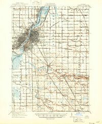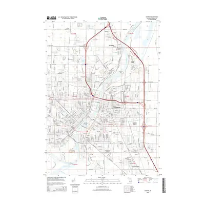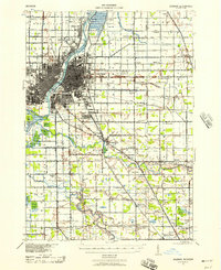
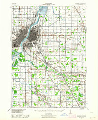
1941 Map of Saginaw
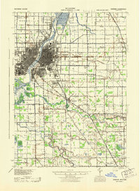
USGS Topo · Published 1958About this map
The Saginaw River serves as the industrial and logistical spine for this 1941 landscape, where the confluence of the Tittabawassee River, Shiawassee River, Flint River, and Cass River defines the drainage of central Saginaw County. The city of Saginaw is shown at a peak of rail-based transit, anchored by the Pere Marquette and Michigan Central lines that radiate from the urban core toward outlying settlements like Birch Run, Bridgeport, and Zilwaukee. Beyond the city limits, the landscape is densely populated with small rural institutions, particularly in Buena Vista and Taymouth townships. Notable genealogical landmarks include the Crow Island Sch, Frankentrost Sta, and Cass Bridge Sch, alongside the Saginaw Municipal Airport. This survey captures the region just before the post-war expansion, preserving the locations of numerous vanished district schools and small rail junctions like Arthur and Fosters.
Find a feature on this map
96 named features on this map. Tap any name to fly to it.
Don’t see what you’re looking for? This feature index may not catch every label — zoom into the map to look around manually.
Map Details
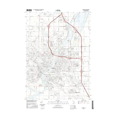
Editions of this 1941 Saginaw Map
2 editions found
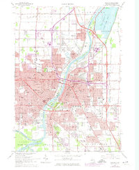
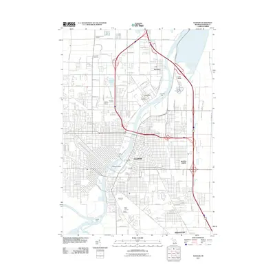
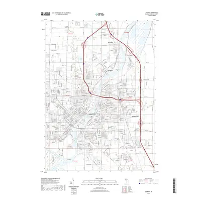
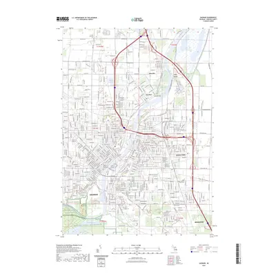
Historical Maps of Saginaw Through Time
9 maps found