
1922 Map of Flint
USGS Topo · Published 1922About this map
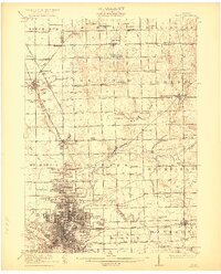
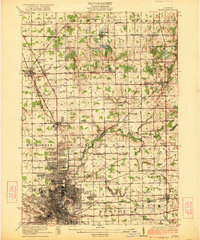
The industrial and agricultural heart of Genesee County is captured just as Flint was solidifying its role as a manufacturing powerhouse. This 1922 survey reveals the dense street grid and rail infrastructure concentrated along the Flint River, including the Waterworks and the sprawling yards of the Grand Trunk Railroad. Beyond the city limits, the landscape transitions into a network of township schools and small farming settlements like Richfield Center and Rogersville.
Find a feature on this map
81 named features on this map. Tap any name to fly to it.
Don’t see what you’re looking for? This feature index may not catch every label — zoom into the map to look around manually.
Map Details
Editions of this 1922 Flint Map
3 editions found
Other maps of this area

1919 · Saginaw
USGS Topo · 1:62,500

1919 · Burt
USGS Topo · 1:62,500

1920 · Flint
USGS Topo · 1:62,500

1920 · Holly
USGS Topo · 1:62,500

1921 · Burt
USGS Topo · 1:62,500

1922 · Holly
USGS Topo · 1:62,500

1922 · Durand
USGS Topo · 1:62,500

1941 · Saginaw
USGS Topo · 1:62,500

1943 · Holly
USGS Topo · 1:62,500

1943 · Burt
USGS Topo · 1:62,500