2000s (21st Century) Maps of Moorland Township, Michigan
Explore 20 historic maps of Moorland Township from the 2000s (21st Century). These maps offer a rare glimpse into what life looked like during the 2000s — showing old roads, neighborhoods, homes, and landmarks that have changed or disappeared over time.
Whether you're researching your family's past, planning a metal detecting trip, or studying how Moorland Township's landscape evolved across the 2000s, these high-resolution maps are a powerful tool for exploring the history of this region.
- Focus on a specific era: All maps on this page are from the 2000s, giving you a focused view of this time period.
- See what’s changed: Compare century-old streets, trails, and buildings to today's modern landscape using overlays and satellite layers.
- Research with precision: Use these maps for genealogy, historical research, land use analysis, or educational projects.
- View, download, or print: Maps are fully viewable online in high resolution, and can be downloaded or printed for your own records.
Start exploring Moorland Township's history through authentic maps from the 2000s. This is your window into the past.
Moorland Township, MI maps
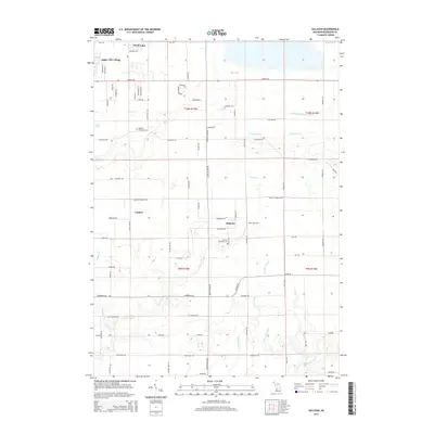
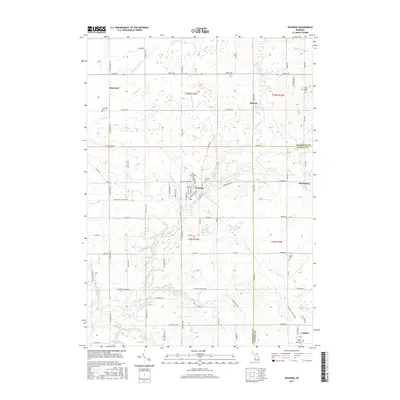
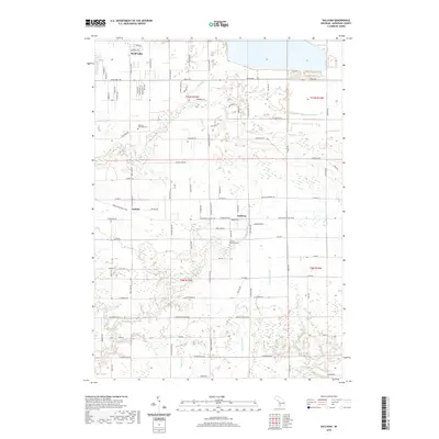
(20)- 2011 Map of Sullivan, 2011 Print
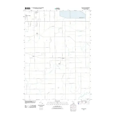 2011 Sullivan2011 Print · USGSCovers Moorland Township, including Sullivan, Fruitport Charter Township, and other nearby areas
 - 2011 Map of Ravenna, 2011 Print
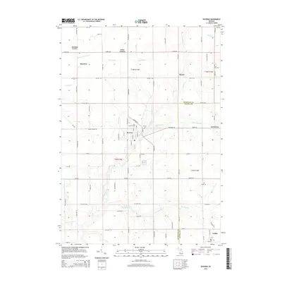
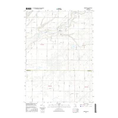
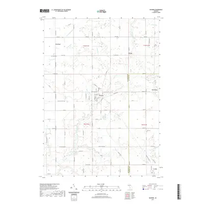
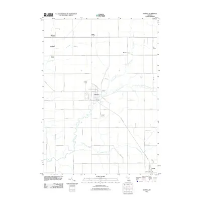 2011 Ravenna2011 Print · USGSCovers Moorland Township, including Moorland, Ravenna, and other nearby areas
 - 2011 Map of Bridgeton, 2011 Print
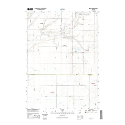
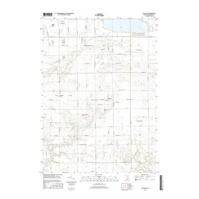
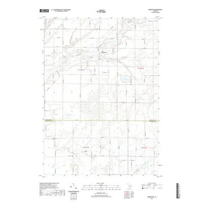
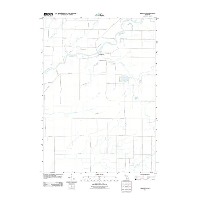 2011 Bridgeton2011 Print · USGSCovers Moorland Township, including Bridgeton, Ashland Township, and other nearby areas
 - 2012 Map of Wolf Lake, 2012 Print
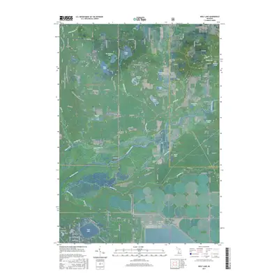
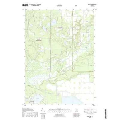
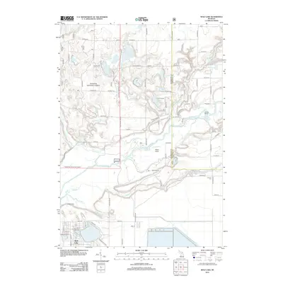 2012 Wolf Lake2012 Print · USGSCovers Moorland Township, including Wolf Lake, Egelston Township, and other nearby areas
 - 2014 Map of Sullivan, 2014 Print
 2014 Sullivan2014 Print · USGSCovers Moorland Township, including Sullivan, Fruitport Charter Township, and other nearby areas
 - 2014 Map of Wolf Lake, 2014 Print
 2014 Wolf Lake2014 Print · USGSCovers Moorland Township, including Wolf Lake, Egelston Township, and other nearby areas
 - 2014 Map of Ravenna, 2014 Print
 2014 Ravenna2014 Print · USGSCovers Moorland Township, including Moorland, Ravenna, and other nearby areas
 - 2014 Map of Bridgeton, 2014 Print
 2014 Bridgeton2014 Print · USGSCovers Moorland Township, including Bridgeton, Ashland Township, and other nearby areas
 - 2017 Map of Ravenna, 2017 Print
 2017 Ravenna2017 Print · USGSCovers Moorland Township, including Moorland, Ravenna, and other nearby areas
 - 2017 Map of Bridgeton, 2017 Print
 2017 Bridgeton2017 Print · USGSCovers Moorland Township, including Bridgeton, Ashland Township, and other nearby areas
 - 2017 Map of Wolf Lake, 2017 Print
 2017 Wolf Lake2017 Print · USGSCovers Moorland Township, including Wolf Lake, Egelston Township, and other nearby areas
 - 2017 Map of Sullivan, 2017 Print
 2017 Sullivan2017 Print · USGSCovers Moorland Township, including Sullivan, Fruitport Charter Township, and other nearby areas
 - 2019 Map of Wolf Lake, 2019 Print
 2019 Wolf Lake2019 Print · USGSCovers Moorland Township, including Wolf Lake, Egelston Township, and other nearby areas
 - 2019 Map of Sullivan, 2019 Print
 2019 Sullivan2019 Print · USGSCovers Moorland Township, including Sullivan, Fruitport Charter Township, and other nearby areas
 - 2019 Map of Bridgeton, 2019 Print
 2019 Bridgeton2019 Print · USGSCovers Moorland Township, including Bridgeton, Ashland Township, and other nearby areas
 - 2019 Map of Ravenna, 2019 Print
 2019 Ravenna2019 Print · USGSCovers Moorland Township, including Moorland, Ravenna, and other nearby areas
 - 2023 Map of Sullivan, 2023 Print
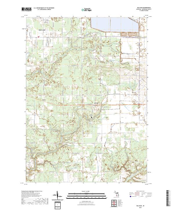 2023 Sullivan2023 Print · USGSThe community of Sullivan and the residential area of Wolf Lake are shown here as they appear today in Muskegon County. Researchers can trace local heritage at the Sullivan Township Cemetery or follow the paths of Black Creek and Crockery Creek.
 - 2023 Map of Wolf Lake, 2023 Print
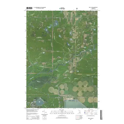
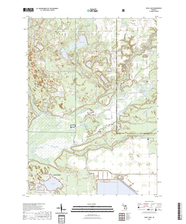 2023 Wolf Lake2023 Print · USGSThe residential community of Wolf Lake and the wetlands of the Muskegon River valley define this portion of Michigan in the early 2020s. Genealogists and local historians can trace legacy sites like Indian Cem, Saint Anthonys Cem, and the riverfront at Maple Island.
 - 2023 Map of Bridgeton, 2023 Print
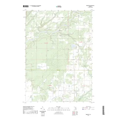 2023 Bridgeton2023 Print · USGSThe Muskegon River valley and the rural town of Bridgeton are captured here during the 2020s. Researchers can locate family burial sites at Bridgeton Township Cem and Shippy Cem, or trace the varied waterways including Mosquito Creek and Sand Lake.
 - 2023 Map of Ravenna, 2023 Print
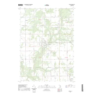 2023 Ravenna2023 Print · USGSThe rural borderlands of Muskegon and Ottawa counties are captured here in the early twenty-first century, centered on the village of Ravenna. Genealogists and local historians can locate family landmarks like Saint Catherines Cem and McNitt Cem or trace the path of the Musketawa State Trl.
End of results
Showing maps 1-20 of 20
Top cities near Moorland Township
- Grand Rapids historical maps
- Muskegon historical maps
- Walker historical maps
- Spring Lake Township historical maps
- Alpine Township historical maps
- Grand Haven historical maps
See more
Top neighborhoods of Moorland Township
Frequently asked questions
- What are the different types of historical maps available for Moorland Township?
- What is the oldest map of Moorland Township?
- Where can I purchase historical maps of Moorland Township for my home or office?
- Where can I download high-res historical maps of Moorland Township?
- Are there historical topographic maps available for Moorland Township?
- Is there historical aerial imagery available for Moorland Township?
- Where are historical maps of Moorland Township sourced from?