Old Maps of Saint Huberts, Greenwood Township for Genealogy
Trace your family roots with 12 historic maps of Saint Huberts. These high-res maps reveal old neighborhoods, homesites, landmarks, and streets — helping you uncover where your ancestors lived and how the area evolved over time.
- Explore historic neighborhoods: Identify where your relatives may have lived in the 1800s or 1900s.
- Compare maps over time: Trace the changes in streets, buildings, and landmarks for multi-generational research.
- Perfect for genealogy & ancestry research: Used by family historians and researchers to map out lineage and migration.
These maps are an incredible resource for exploring your personal connection to Saint Huberts's past.
Saint Huberts, Greenwood Township maps
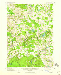
(12)- 1931 Map of Walkerville SE
 1931 Walkerville SE1931 Print · USGSOceana County is shown in the early 1930s as a land of small farms and rural school districts centered around the village of Hesperia. Genealogists can trace family roots through a dense network of local schools including Cushman Sch and Sturtevant Sch along the White River.
 - 1954 Map of Milwaukee, 1967 Print
 1954 Milwaukee1967 Print · USGSCoastal life and maritime commerce across Lake Michigan are seen here during the mid-fifties, bridging Wisconsin's industrial hubs and Michigan's timberlands. Genealogists and historians can trace the rail lines of the Grand Trunk Western and find long-established ports like Ludington, Port Washington, and Muskegon.3 unique versions available
 - 1958 Map of Milwaukee
 1958 Milwaukee1958 Print · USGSThe shorelines of Lake Michigan in the late fifties reveal a landscape of bustling ferry ports and growing industrial suburbs. Genealogists and historians can trace rail networks like the Chesapeake & Ohio and locate landmarks such as Little Sable Point and Holy Cross Church.
 - 1958 Map of Hesperia, 1959 Print
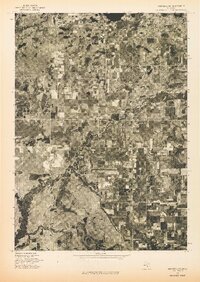
 1958 Hesperia1959 Print · USGSThe borderlands of Oceana and Newaygo counties are captured here in the late fifties, showcasing a landscape of dense woodlots and glacial lakes. Genealogists can trace family names through rural landmarks like Indian Cem, Newman Sch, and the village of Walkerville.3 unique versions available
 - 1976 Map of Hersperia SE
 1976 Hersperia SE1976 Print · USGSOceana County territory is captured in high-altitude detail during the mid-seventies, showing the intersection of rural agriculture and river life. Genealogists and local historians can trace the exact 1976 footprint of Hesperia and the surrounding farmsteads.
 - 1983 Map of Ludington, 1984 Print
 1983 Ludington1984 Print · USGSThe Michigan shoreline during the early eighties comes alive in this survey of the dunes and woodlands. Trace the Chesapeake and Ohio rail route through Ludington and Hart, or find family landmarks like Meisenheimer Corners and Wiley.
 - 1985 Map of Hesperia
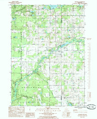 1985 Hesperia1985 Print · USGSHesperia and the White River valley are documented here in the mid-1980s, showcasing the intersection of village life and Michigan's timber and forest lands. Genealogists and historians can trace the Old Railroad Grade and locate family-named sites like Blodgett Lake and Newell Lake.
 - 2012 Map of Hesperia, 2012 Print
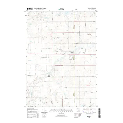
 2012 Hesperia2012 Print · USGSCovers Saint Huberts, including Hesperia, Newfield Township, and other nearby areas
 - 2014 Map of Hesperia, 2014 Print
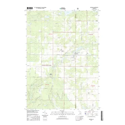
 2014 Hesperia2014 Print · USGSCovers Saint Huberts, including Hesperia, Newfield Township, and other nearby areas
 - 2017 Map of Hesperia, 2017 Print
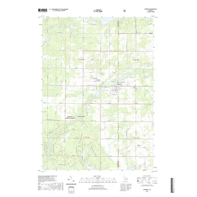
 2017 Hesperia2017 Print · USGSCovers Saint Huberts, including Hesperia, Newfield Township, and other nearby areas
 - 2019 Map of Hesperia, 2019 Print
 2019 Hesperia2019 Print · USGSCovers Saint Huberts, including Hesperia, Newfield Township, and other nearby areas
 - 2023 Map of Hesperia, 2023 Print
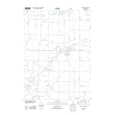
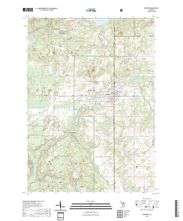 2023 Hesperia2023 Print · USGSThe village of Hesperia and the surrounding river valleys are documented here in the early 2020s. Genealogists and local researchers can pinpoint several burial grounds like Jewell Cem and Greenwood Cem, or trace the course of Knutson Creek through the Manistee National Forest.
End of results
Showing maps 1-12 of 12
Top cities near Saint Huberts
- Dalton historical maps
- Fremont historical maps
- Holton historical maps
- Bridgeton historical maps
- Twin Lake historical maps
- Ferry historical maps
See more
Frequently asked questions
- What are the different types of historical maps available for Saint Huberts?
- What is the oldest map of Saint Huberts?
- Where can I purchase historical maps of Saint Huberts for my home or office?
- Where can I download high-res historical maps of Saint Huberts?
- Are there historical topographic maps available for Saint Huberts?
- Is there historical aerial imagery available for Saint Huberts?
- Where are historical maps of Saint Huberts sourced from?