Old Maps of Comins Township, Michigan for Academic Research
Study the evolution of Comins Township with 44 high-resolution historic maps. Whether you're teaching, researching, or modeling changes in land use, these maps provide essential visual documentation of urban, environmental, and geographic change.
- Analyze long-term change: Track patterns in development, transportation, and natural features.
- Ideal for environmental or urban studies: Support academic projects with primary historical map data.
- Use in the classroom or lab: Educators and researchers rely on these maps to bring historical context to life.
These maps are a powerful tool for teaching, research, and visualizing how Comins Township has changed over the decades.
Comins Township, MI maps
(44)- 1954 Map of Traverse City, 1965 Print
 1954 Traverse City1965 Print · USGSNorthern Michigan’s vast lakeshores and timberlands are captured here in the mid-fifties, showing the region before the modern interstate era. Genealogists and researchers can trace rail connections like the Detroit and Mackinac RR or find old communities such as Suttons Bay, Elk Rapids, and Prudenville.4 unique versions available
 - 1954 Map of Tawas City, 1968 Print
 1954 Tawas City1968 Print · USGSCoastal life along Lake Huron was defined by a mix of military aviation and hydroelectric power in the mid-fifties. Researchers can trace the river dams like Cooke Dam, the layout of Wurtsmith AFB, and the coastal mining operations at Alabaster.4 unique versions available
 - 1955 Map of Comins, 1956 Print
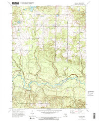
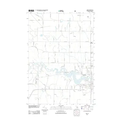
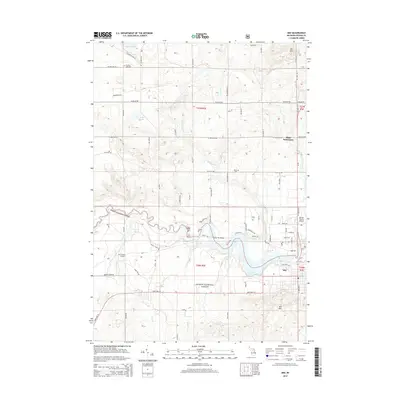
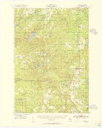 1955 Comins1956 Print · USGSMontmorency and Oscoda counties are captured in the mid-fifties, showing a landscape defined by state forests and emerging post-war recreation. Genealogists and local historians can locate the Loud Sch, the Finnish Cem, and the Sheridan Valley Ski Area during its early years.2 unique versions available
 - 1958 Map of Traverse City
 1958 Traverse City1958 Print · USGSNorthern Lower Michigan was a landscape of vast state forests and burgeoning lakeside retreats in the late fifties. Genealogists and historians can trace the rail corridors of the Ann Arbor RR and find established settlements from Elk Rapids to Houghton Lake.2 unique versions available
 - 1958 Map of Tawas City
 1958 Tawas City1958 Print · USGSThe Lake Huron shoreline and northern Michigan timberlands come into focus in the late fifties, during the expansion of the Cold War. Genealogists and historians can trace rail lines like the Detroit and Mackinac, find regional landmarks like the Lumbermans Memorial Monument, and locate coastal facilities including Wurtsmith AFB.2 unique versions available
 - 1972 Map of McKinley, 1975 Print
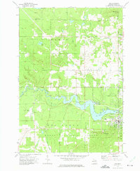
 1972 McKinley1975 Print · USGSOscoda County in the early seventies preserves the landscape of the Huron National Forest and the winding Au Sable River. Researchers can trace the legacy of Michigan logging via the Old Railroad Grade and locate family landmarks at Mc Kinley and Camp Barakel.
 - 1972 Map of McCollum Lake, 1975 Print
 1972 McCollum Lake1975 Print · USGSNorthern Michigan forest lands are shown in the early seventies at the junction of four counties. Researchers can trace old logging routes along the Old Railroad Grade and locate features like McCollum Lake and the Fonro Lodge Landing Strip.
 - 1972 Map of Mio, 1975 Print
 1972 Mio1975 Print · USGSThe Au Sable River and the Huron National Forest define this corner of Oscoda County during the early 1970s. Researchers can trace the Old Railroad Grade, locate the Township No 1 Cem, and find vanished landmarks like the local Drive-in Theater.2 unique versions available
 - 1972 Map of Fairview, 1975 Print
 1972 Fairview1975 Print · USGSOscoda County was a landscape of deep forests and winding river valleys in the early 1970s. Local researchers can trace the old timber corridors along the Private Railroad and Old RR Grade, or locate family sites near Fairview and Kneeland.2 unique versions available
 - 1983 Map of Hubbard Lake, 1984 Print
 1983 Hubbard Lake1984 Print · USGSThe shorelines of Alcona and Alpena Counties come to life in this early 1980s overview of the Lake Huron coast and its deep timberlands. Researchers can trace historic rail routes like the Detroit and Mackinac or locate quiet inland hubs such as Barton City and Killmaster.
 - 1983 Map of Grayling, 1984 Print
 1983 Grayling1984 Print · USGSIn the early eighties, this Northern Michigan interior was a hub for forestry, military training, and river recreation. Researchers can trace the sprawling boundaries of Camp Grayling and locate historic markers like Hartwick Pines and Otsego Lake.2 unique versions available
 - 1986 Map of Oak Lake
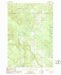
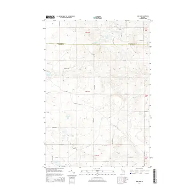
 1986 Oak Lake1986 Print · USGSThe Oscoda and Montmorency county line in the mid-eighties was a landscape of conservation and legacy timber infrastructure. You can trace the path of an Old RR Grade through the Au Sable State Forest or explore the specialized waters of the Fisheries Research Area.
 - 1986 Map of Comins
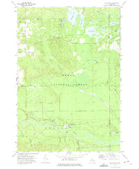
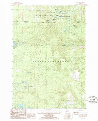
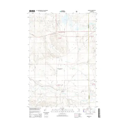
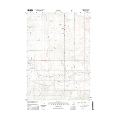
 1986 Comins1986 Print · USGSOscoda and Montmorency Counties are depicted in the mid-1980s as a managed wilderness of state and national forests. Researchers can trace the legacy of regional transit along an old Railroad Grade and locate local landmarks like the Cem and Comins Marsh.
 - 1989 Map of Traverse City, 1990 Print
 1989 Traverse City1990 Print · USGSNorthern Michigan’s lake-country and forest lands are captured in the late eighties as seasonal tourism and timber hubs expanded. Genealogists and historians can trace the routes of the Ann Arbor RR, the boundaries of Camp Grayling, and settlements like Elk Rapids and Manton.
 - 2011 Map of Oak Lake, 2011 Print
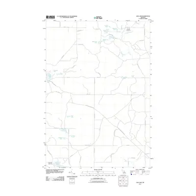 2011 Oak Lake2011 Print · USGSCovers Comins Township, including Loud Township, Albert Township, and other nearby areas
 - 2012 Map of Fairview, 2012 Print
 2012 Fairview2012 Print · USGSCovers Comins Township, including Mentor Township, Kneeland, and other nearby areas
 - 2012 Map of McKinley, 2012 Print
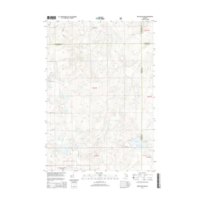
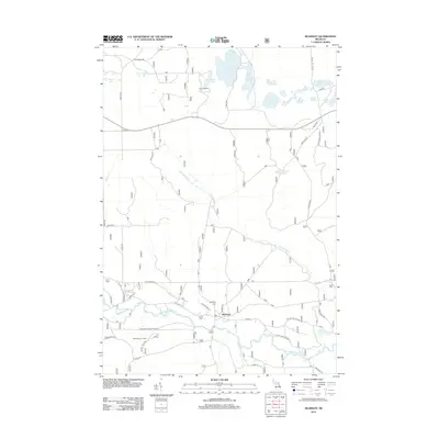 2012 McKinley2012 Print · USGSCovers Comins Township, including Mitchell Township, Mentor Township, and other nearby areas
 - 2012 Map of McCollum Lake, 2012 Print
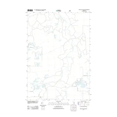 2012 McCollum Lake2012 Print · USGSCovers Comins Township, including Ossineke Township, Rust Township, and other nearby areas
 - 2012 Map of Comins, 2012 Print
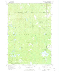
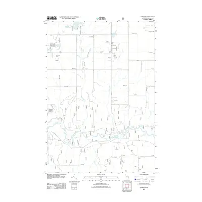
 2012 Comins2012 Print · USGSCovers Comins Township, including Loud Township, Rust Township, and other nearby areas
 - 2012 Map of Mio, 2012 Print
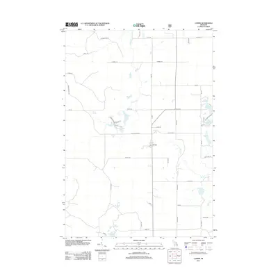
 2012 Mio2012 Print · USGSCovers Comins Township, including Mio, Big Creek Township, and other nearby areas
 - 2014 Map of Oak Lake, 2014 Print
 2014 Oak Lake2014 Print · USGSCovers Comins Township, including Loud Township, Albert Township, and other nearby areas
 - 2014 Map of McCollum Lake, 2014 Print
 2014 McCollum Lake2014 Print · USGSCovers Comins Township, including Ossineke Township, Rust Township, and other nearby areas
 - 2014 Map of McKinley, 2014 Print
 2014 McKinley2014 Print · USGSCovers Comins Township, including Mitchell Township, Mentor Township, and other nearby areas
 - 2014 Map of Mio, 2014 Print
 2014 Mio2014 Print · USGSCovers Comins Township, including Mio, Big Creek Township, and other nearby areas
 - 2014 Map of Fairview, 2014 Print
 2014 Fairview2014 Print · USGSCovers Comins Township, including Mentor Township, Kneeland, and other nearby areas
Showing maps 1-25 of 44
Top cities near Comins Township
Top neighborhoods of Comins Township
Frequently asked questions
- What are the different types of historical maps available for Comins Township?
- What is the oldest map of Comins Township?
- Where can I purchase historical maps of Comins Township for my home or office?
- Where can I download high-res historical maps of Comins Township?
- Are there historical topographic maps available for Comins Township?
- Is there historical aerial imagery available for Comins Township?
- Where are historical maps of Comins Township sourced from?