2020s Maps of Charlton Township, Michigan
Explore 6 historic maps of Charlton Township from the 2020s. These maps offer a rare glimpse into what life looked like during the 2020s — showing old roads, neighborhoods, homes, and landmarks that have changed or disappeared over time.
Whether you're researching your family's past, planning a metal detecting trip, or studying how Charlton Township's landscape evolved across the 2020s, these high-resolution maps are a powerful tool for exploring the history of this region.
- Focus on a specific era: All maps on this page are from the 2020s, giving you a focused view of this time period.
- See what’s changed: Compare century-old streets, trails, and buildings to today's modern landscape using overlays and satellite layers.
- Research with precision: Use these maps for genealogy, historical research, land use analysis, or educational projects.
- View, download, or print: Maps are fully viewable online in high resolution, and can be downloaded or printed for your own records.
Start exploring Charlton Township's history through authentic maps from the 2020s. This is your window into the past.
Charlton Township, MI maps
(6)- 2023 Map of Saunders Creek, 2023 Print
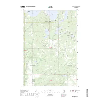
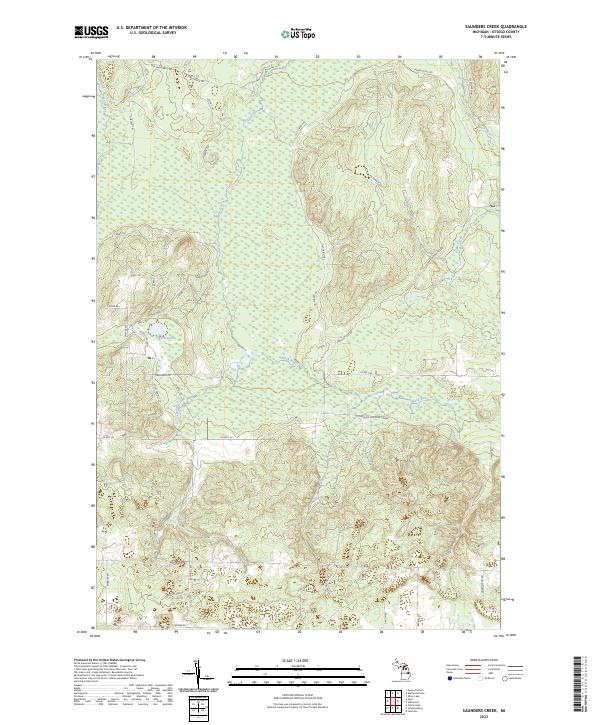 2023 Saunders Creek2023 Print · USGSThe northern Michigan timberlands in Otsego County are mapped here in the early 2020s, revealing a landscape defined by its waterways and legacy logging routes. Trace the old timber paths along Johnson Crossing Grade or explore the woods surrounding Lake Nineteen and the Black River.
 - 2023 Map of Hetherton, 2023 Print
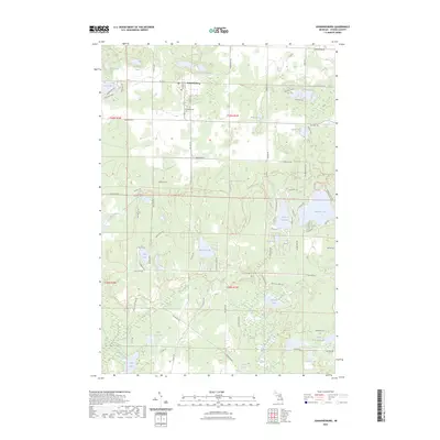
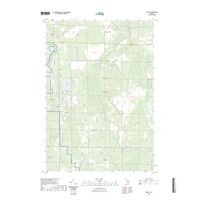
 2023 Hetherton2023 Print · USGSNorthern Michigan's forest and river systems are shown here in the early twenty-first century as the landscape serves both conservation and recreation. Genealogists and researchers can locate Gingell Cem and trace the complex waterways of the East Branch Black River and Green Swamp.
 - 2023 Map of Lewiston, 2023 Print
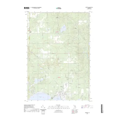 2023 Lewiston2023 Print · USGSMontmorency County is mapped in modern detail at the shores of the Twin Lakes during a period of established lakeside residency. Researchers can locate family sites and local landmarks from Lewiston to Vienna Corners, including Charlton Cem and Gaylanta Lake.
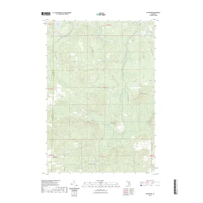
 - 2023 Map of Johannesburg, 2023 Print
 2023 Johannesburg2023 Print · USGSThe settlement of Johannesburg and its surrounding lake country are captured in this modern survey of Otsego County. Researchers can trace local landmarks like the Johannesburg Cem and explore the network of paths including the Shore To Shore Trl and Crapo Creek Trl.
 - 2023 Map of Comstock Hills, 2023 Print
 2023 Comstock Hills2023 Print · USGSNorthern Michigan's lake country and protected bird habitats are surveyed in this 2023 map of Oscoda County. Trace local developments around Lewiston or locate landmarks like Lake Big Wolf and the Eagle II Airport.
 - 2023 Map of Lovells, 2023 Print
 2023 Lovells2023 Print · USGSCrawford County at the start of the 2020s shows a landscape of conservation and river-centered settlement. Genealogists and local historians can locate the Lovells Cem and trace the banks of the North Branch Au Sable River or Shupac Lake.
End of results
Showing maps 1-6 of 6
Top cities near Charlton Township
- Gaylord historical maps
- Lewiston historical maps
- Vanderbilt historical maps
- Lovells historical maps
- Canada Creek Ranch historical maps
Top neighborhoods of Charlton Township
Frequently asked questions
- What are the different types of historical maps available for Charlton Township?
- What is the oldest map of Charlton Township?
- Where can I purchase historical maps of Charlton Township for my home or office?
- Where can I download high-res historical maps of Charlton Township?
- Are there historical topographic maps available for Charlton Township?
- Is there historical aerial imagery available for Charlton Township?
- Where are historical maps of Charlton Township sourced from?