2000s (21st Century) Maps of Nester Township, Michigan
Explore 15 historic maps of Nester Township from the 2000s (21st Century). These maps offer a rare glimpse into what life looked like during the 2000s — showing old roads, neighborhoods, homes, and landmarks that have changed or disappeared over time.
Whether you're researching your family's past, planning a metal detecting trip, or studying how Nester Township's landscape evolved across the 2000s, these high-resolution maps are a powerful tool for exploring the history of this region.
- Focus on a specific era: All maps on this page are from the 2000s, giving you a focused view of this time period.
- See what’s changed: Compare century-old streets, trails, and buildings to today's modern landscape using overlays and satellite layers.
- Research with precision: Use these maps for genealogy, historical research, land use analysis, or educational projects.
- View, download, or print: Maps are fully viewable online in high resolution, and can be downloaded or printed for your own records.
Start exploring Nester Township's history through authentic maps from the 2000s. This is your window into the past.
Nester Township, MI maps
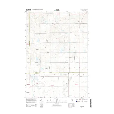
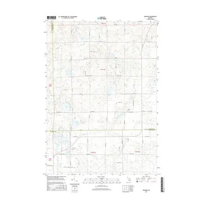
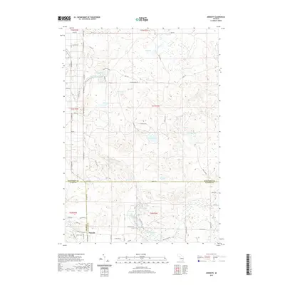
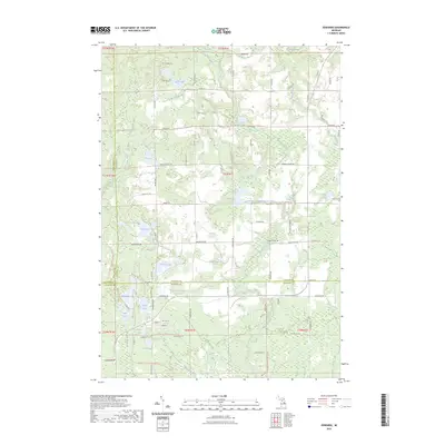
(15)- 2011 Map of Edwards, 2011 Print
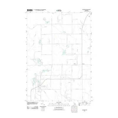 2011 Edwards2011 Print · USGSCovers Nester Township, including Edwards, Butman Township, and other nearby areas
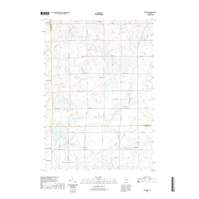
 - 2011 Map of Butman, 2011 Print
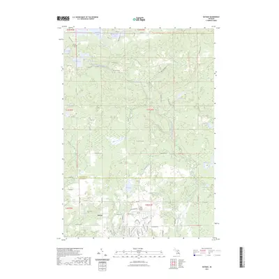
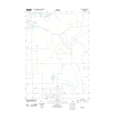 2011 Butman2011 Print · USGSCovers Nester Township, including Butman, Butman Township, and other nearby areas
 - 2011 Map of Meredith, 2011 Print
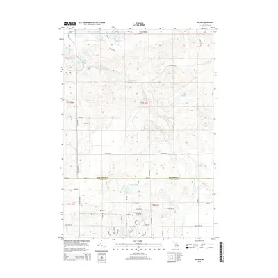
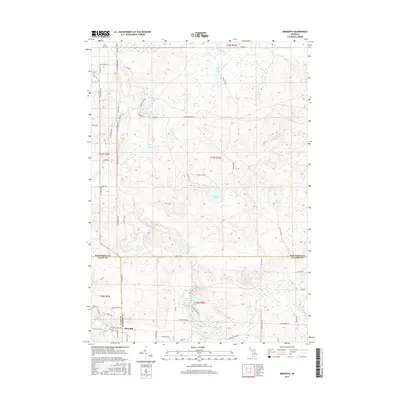
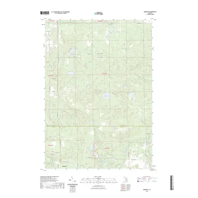
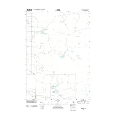 2011 Meredith2011 Print · USGSCovers Nester Township, including Sherman Township, Denton Township, and other nearby areas
 - 2014 Map of Meredith, 2014 Print
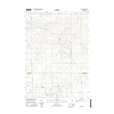
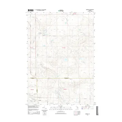 2014 Meredith2014 Print · USGSCovers Nester Township, including Sherman Township, Denton Township, and other nearby areas
 - 2014 Map of Edwards, 2014 Print
 2014 Edwards2014 Print · USGSCovers Nester Township, including Edwards, Butman Township, and other nearby areas
 - 2014 Map of Butman, 2014 Print
 2014 Butman2014 Print · USGSCovers Nester Township, including Butman, Butman Township, and other nearby areas
 - 2017 Map of Butman, 2017 Print
 2017 Butman2017 Print · USGSCovers Nester Township, including Butman, Butman Township, and other nearby areas
 - 2017 Map of Edwards, 2017 Print
 2017 Edwards2017 Print · USGSCovers Nester Township, including Edwards, Butman Township, and other nearby areas
 - 2017 Map of Meredith, 2017 Print
 2017 Meredith2017 Print · USGSCovers Nester Township, including Sherman Township, Denton Township, and other nearby areas
 - 2019 Map of Meredith, 2019 Print
 2019 Meredith2019 Print · USGSCovers Nester Township, including Sherman Township, Denton Township, and other nearby areas
 - 2019 Map of Edwards, 2019 Print
 2019 Edwards2019 Print · USGSCovers Nester Township, including Edwards, Butman Township, and other nearby areas
 - 2019 Map of Butman, 2019 Print
 2019 Butman2019 Print · USGSCovers Nester Township, including Butman, Butman Township, and other nearby areas
 - 2023 Map of Edwards, 2023 Print
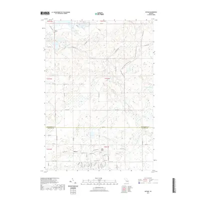
 2023 Edwards2023 Print · USGSOgemaw and Gladwin counties are shown here in the 2020s, a landscape defined by the Middle Branch Tittabawassee River and its many lakes. You can trace historical routes like the Midland To Mackinaw Boy Scout Trl or locate the Edwards Cem.
 - 2023 Map of Butman, 2023 Print
 2023 Butman2023 Print · USGSThe Gladwin and Roscommon County line comes alive in this contemporary record of northern Michigan's woodlands and water. Genealogists can locate Nester Township Cem and Butman Cem, while hikers can trace the Midland-to-Mackinaw Boy Scout Trl.
 - 2023 Map of Meredith, 2023 Print
 2023 Meredith2023 Print · USGSCentral Michigan at the crossroads of Roscommon, Clare, and Gladwin counties reveals a landscape defined by forest roads and glacial lakes. Researchers can trace the layout of Meredith or locate remote landmarks like Headquarters Lake and Hoister Lake.
End of results
Showing maps 1-15 of 15
Top cities near Nester Township
- Gladwin historical maps
- Saint Helen historical maps
- Butman historical maps
- Prudenville historical maps
- Edwards historical maps
- Secord historical maps
Frequently asked questions
- What are the different types of historical maps available for Nester Township?
- What is the oldest map of Nester Township?
- Where can I purchase historical maps of Nester Township for my home or office?
- Where can I download high-res historical maps of Nester Township?
- Are there historical topographic maps available for Nester Township?
- Is there historical aerial imagery available for Nester Township?
- Where are historical maps of Nester Township sourced from?